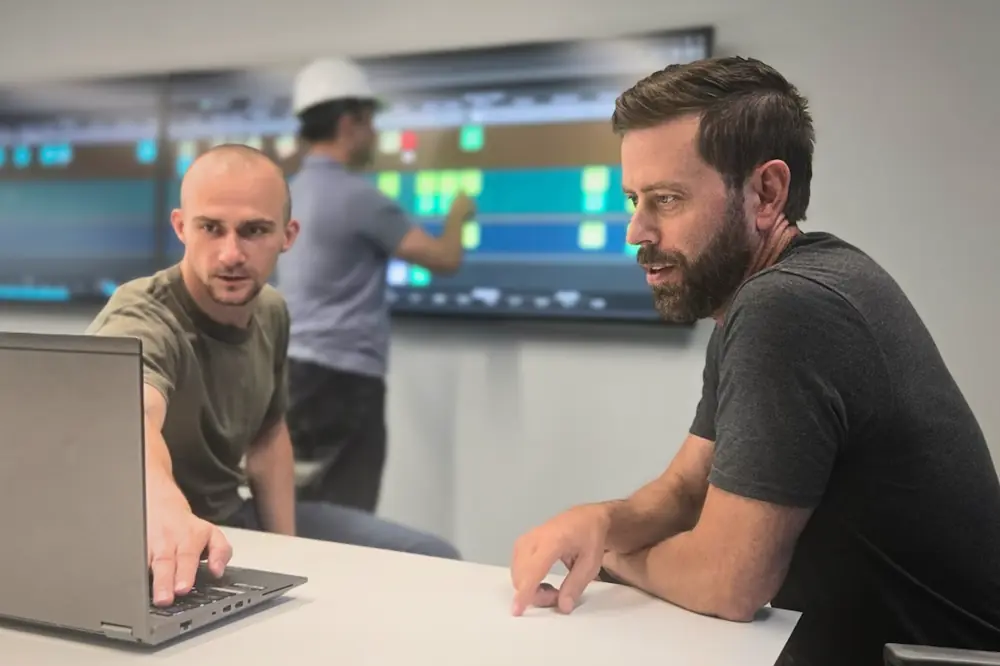

The disconnect between the office and the field has long been one of construction’s biggest challenges. Project conditions change constantly as equipment moves, inspections are completed, materials arrive, and work progresses. Yet project information is often captured across disconnected systems, leaving office teams working from data that is hard to piece together and may already be outdated by the time it’s reviewed.
That disconnect is rapidly shrinking. Connected technologies, common data environments, artificial intelligence (AI), and reality capture are creating a continuous flow of information between the office and the field. Rather than relying on standalone systems and manual updates, project teams are increasingly collaborating with a shared, living record of the project.
This is the foundation of digital site management: connecting people, data, and workflows so everyone has the same up-to-date view of project conditions.
The result is more than better coordination. Teams spend less time tracking down information and more time acting on it. Potential issues are identified before they become costly rework. Project managers can make decisions based on current site conditions instead of yesterday's reports, and equipment operators can immediately compare completed work to the design rather than waiting for a survey crew to verify it.
Some of the most immediate progress toward closing that gap starts with the equipment itself.

| Your local Broce Broom dealer |
|---|
| Nueces Power Equipment |
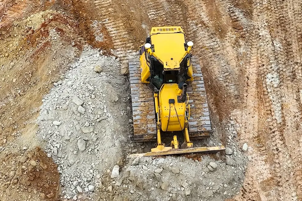
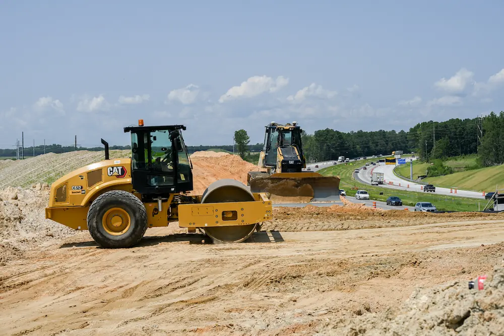
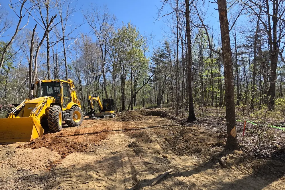
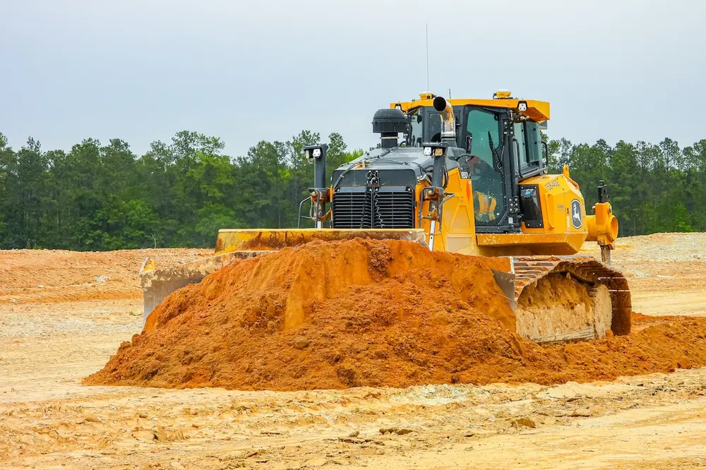
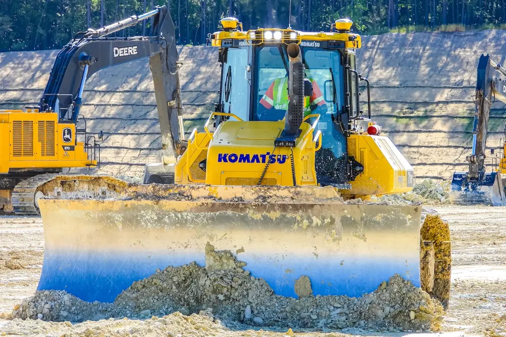
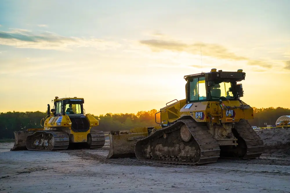
On large earthwork projects, machine control systems don't just execute a plan; they also record and report progress. Dozers and excavators running grade control software log position, productivity, and progress as they work, feeding that data into the same common data environment the rest of the project draws from.
When a design changes, an updated model can be pushed to every machine on site at once, rather than distributed file by file or communicated over a phone call.
Ground-based mobile scanning adds another layer of precision. Rather than relying on photos or handheld measurements, some contractors now capture detailed point cloud data as they drive a project corridor — then extract utilities, terrain, and structures directly from the scan for use in project models. On one large solar installation, this enabled a contractor to pinpoint the exact top-center coordinates of tens of thousands of piles to verify installation elevation, delivering precise, defensible data in place of visual inspection or piecemeal survey requests.
Machine guidance solutions and mobile scanning mean the common data environment isn't only built from what people see and document. It's also absorbing what equipment and sensors record automatically — and that foundation is what the next layer of the connected workflow builds on.

| Your local Wirtgen America dealer |
|---|
| Nueces Power Equipment |
| Kirby-Smith Machinery |
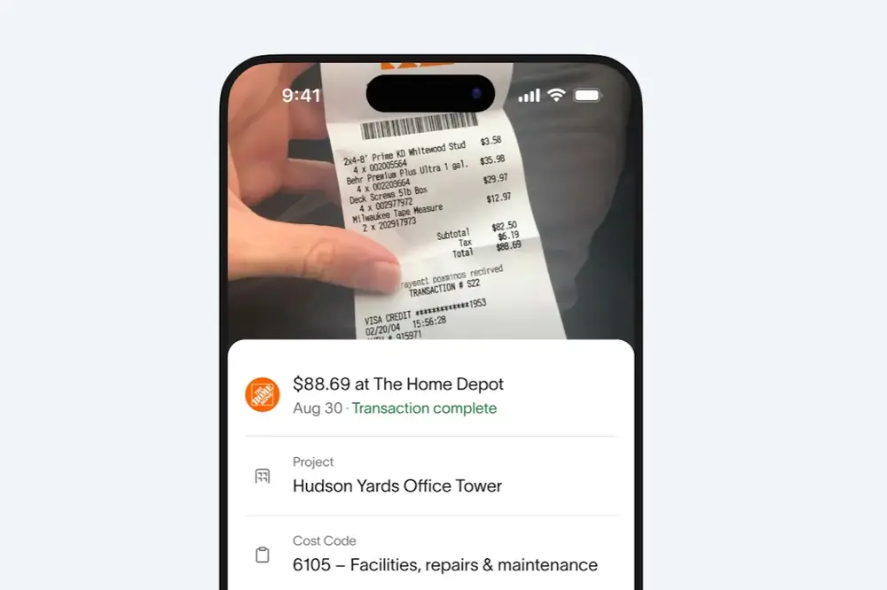
That same connected approach extends to estimating, operations, and accounting. Unified software applications for estimating, scheduling, field performance tracking, and accounting allow data to flow across these workflows. This reduces duplicate entry and gives project teams greater visibility into how to set up jobs, assign resources, and assess how work is progressing against the original plan. As field production, schedule, and cost updates flow into the office, project managers can make faster, better-informed operational adjustments.
Another significant advancement in digital site management is the integration of reality capture into everyday project management workflows.
Most contractors document job site conditions by taking photographs, jotting down notes, or sending follow-up emails after a site walk. While those methods provide useful information, they rarely capture the full context of what is happening onsite. A photo might show an issue, but not exactly where it occurred, how it relates to the drawings, or what changed since the last update.
Traditional job site documentation also tends to be disconnected from the rest of the project. Photos are buried in email threads, stored in shared drives, or saved without enough context to understand where they were taken or what they show. When questions arise later, teams spend valuable time reconstructing events.

| Your local Atlas Copco CMT USA dealer |
|---|
| Cooper Equipment Co |
| Closner Equipment Co Inc |
| Romco Equipment Co |
| Central Texas Equipment |
| Bane Machinery |
Construction technology has spent years raising the ceiling on what's possible. Now the opportunity is to lower the floor by making powerful digital workflows easier for everyone to use. AI is helping achieve that by minimizing the complexity behind the scenes — automatically organizing job site data, connecting it to project information, and surfacing insights — so contractors can focus on documenting the work instead of managing the technology.
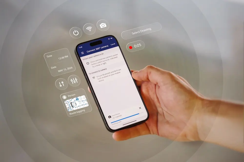
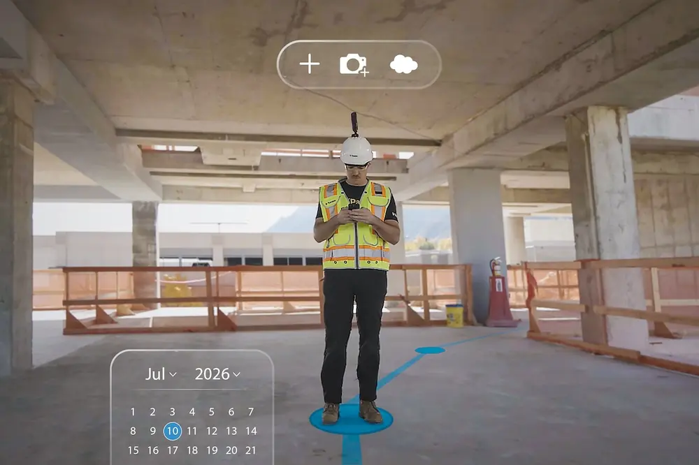
For example, during a routine walk-through, field teams can now capture a complete visual record of the job site using a basic, commercially available 360-degree camera. They upload the imagery to the cloud, then AI automatically processes it, maps it to project drawings, and creates a living map of the real-world conditions as the project progresses, allowing teams to virtually navigate the job site from anywhere.
By automatically connecting visual job site information to the project's digital record, AI eliminates much of the manual work traditionally required to organize and document site conditions. More importantly, it gives project teams a fast, visual way to compare what was planned with what has actually been built, helping them identify issues earlier and make decisions based on current job site conditions rather than outdated reports.
Now, imagine a mechanical subcontractor working on a multistory project. They move through the digital job site and notice an electrical chase that interferes with planned duct work installation on the fourth floor. Rather than sending a vague email and a blurry site photo, they create an issue in their project management solution with the precise location and a 360-degree photo linked to it. Everyone on the receiving end gets immediate, visual, and spatial context without ever leaving their desk. They have clear, irrefutable evidence to create a plan of action.

| Your local Wirtgen America dealer |
|---|
| Nueces Power Equipment |
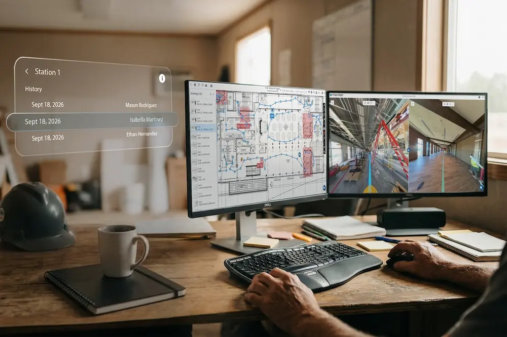
Because each walkthrough becomes part of the project's digital record, teams can also compare conditions over time. They can verify completed work, understand when changes occurred, and document progress throughout the life of the project. That historical record provides valuable context during quality reviews, payment verification, project close-out, and dispute resolution.
Any single data source becomes more valuable when it isn't treated as a standalone tool, but as part of a common data environment (CDE) — a centralized hub where project information is shared, updated, and accessed by everyone involved.
Think of the CDE as a sandwich where drawings, 3D models, 360-degree imagery, point clouds, and machine guidance data are the ingredients, while the location serves as the toothpick that holds everything together. By connecting every data type to the same physical place on the project, teams can move seamlessly between visual context, design information, and field conditions without switching between disconnected systems.
Whether reviewing a 360-degree image, coordinating fabrication, or resolving a field issue, project teams can immediately reference the associated drawings or 3D model, notify the appropriate trade, and document the resolution — all from the same connected environment.

| Your local Bobcat dealer |
|---|
| Central Texas Equipment |
| Nueces Power Equipment |
Surveyors, virtual design and construction teams, superintendents, and owners also have access to the same visual context, enabling them to make informed decisions faster, together. More importantly, this shared understanding creates the foundation for AI, giving intelligent systems the context needed to interpret project information, identify patterns, and deliver more meaningful insights.
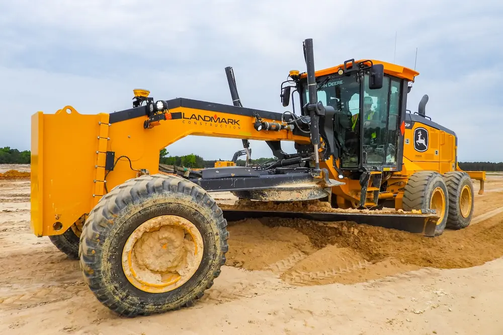
In South Carolina, a common data environment was instrumental for Landmark Construction when they deployed more than 150 pieces of equipment across a 1,600-acre site, with every dozer and grader equipped with grade control technology. A CDE controlled the entire project, with updates pushed to every machine simultaneously. On their best days, crews moved 60,000 to 70,000 cubic yards of material, a pace made possible only by keeping data moving freely between field and office.
Leading contractors have stopped treating field data and office data as separate streams and started managing them as one. When project managers can see current job site conditions instead of relying on outdated reports, decisions move faster and small issues are addressed before they become larger problems.
As AI connects and organizes project information — and it becomes accessible through a common data environment — those benefits extend to every project stakeholder.

| Your local Magni dealer |
|---|
| Kirby-Smith Machinery |
The industry has spent decades building the physical world. Today, it's also building a connected digital record of every project that gives owners, contractors, and field teams a shared understanding of what's happening as work progresses.
Nathan Patton is the Senior Manager, Office-to-Field and AI Solutions, at Trimble. With a background in geomatics engineering and surveying, he focuses on developing practical technologies for connected digital workflows.