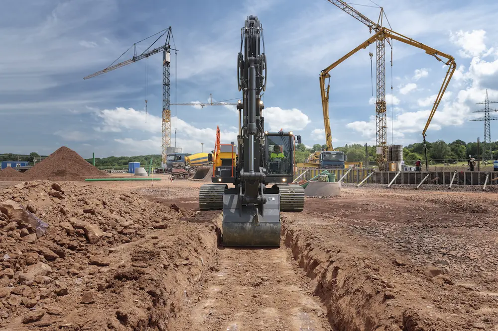


For years, the business case for GNSS construction technology was straightforward: use 2D guidance, 3D guidance, or semi-automatic machine control to do the job right the first time and do it faster.
Those benefits haven't changed. In fact, they're a big reason GNSS technology continues to gain momentum across the construction industry.
But something else is happening.
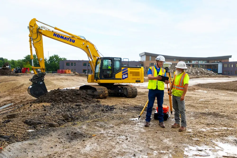
As contractors become more comfortable with connected machines, many are discovering value beyond grading accuracy through as-built data, simpler workflows, expanded machine applications, and new safety and automation capabilities.
GNSS technology is still helping contractors move dirt more efficiently. Increasingly, it's also helping them manage projects more effectively.

| Your local Hyundai dealer |
|---|
| Equipment East |
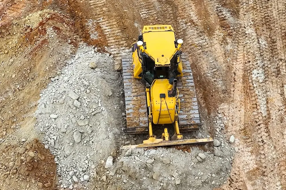
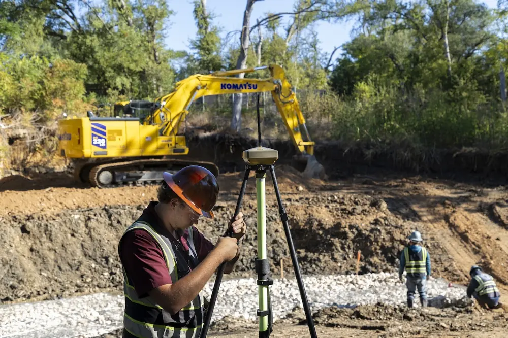
As GNSS-connected machines work across a site, they continuously capture information about existing and finished conditions. Every pass creates a record of what the ground looked like at that moment in time. That as-built data is becoming one of the biggest drivers of GNSS adoption today.
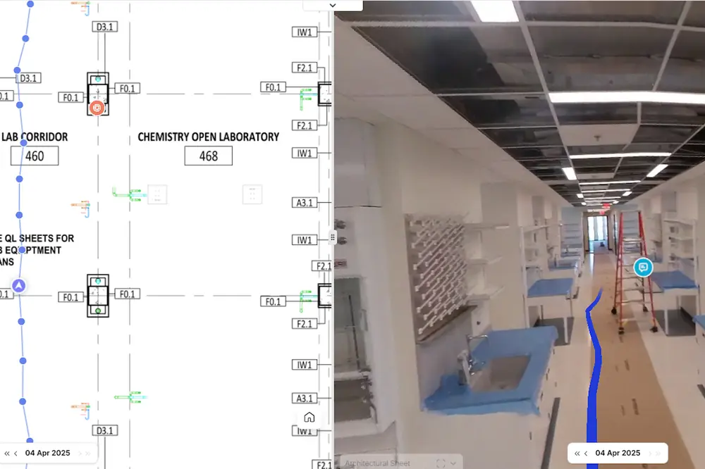
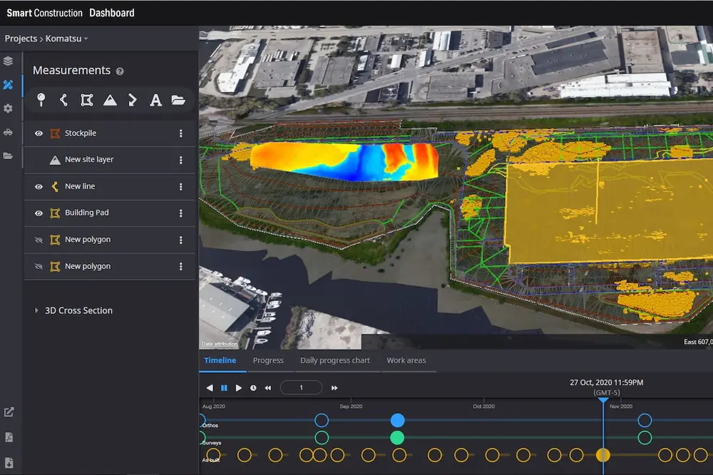
By connecting machine-generated as-built data to project visualization software, contractors gain a much clearer picture of project status. When combined with pre-work mapping and design files, project leaders can better see where work has been completed, compare progress against design, and calculate quantities without waiting for traditional survey updates.
The result is better visibility into what is happening on the job site today — even every hour — not what happened several days ago. That means decisions based on actionable data are being made closer to the time of that data being accurate, which ultimately means greater effectiveness of the solutions.
That visibility creates opportunities throughout the project lifecycle. Contractors can better monitor daily progress, improve planning, calculate volumes more frequently, reduce survey requirements, and validate completed work. The same information can simplify payment verification, claims documentation, and regulatory compliance.

| Your local Trimble Construction Division dealer |
|---|
| SITECH Northeast |
One contractor shared with us a powerful example of these capabilities in action.
Working on a remediation project adjacent to a U.S. Navy facility, the contractor needed to excavate contaminated soil to a precise depth while documenting progress for regulators. Drone mapping restrictions and tidal water infiltration added complexity to the project.
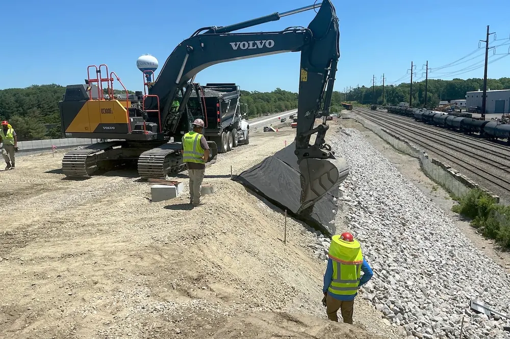
Using a GNSS-equipped excavator with semi-automatic intelligent machine control (IMC), the contractor excavated to design while automatically collecting as-built data. Daily progress reports were generated directly from the project data and shared with regulators.
The project was originally scheduled to take 45 days. It was completed in just 20 days, reflecting several contributing efficiencies including GNSS and IMC.

| Your local Esco Corporation dealer |
|---|
| Genalco |
While not every project faces those challenges, the lesson is broadly applicable. GNSS technology can help contractors complete difficult work faster and more accurately. Increasingly, it can also generate documentation, satisfy reporting requirements, and provide greater project visibility — creating entirely new sources of value and competitive advantage.
GNSS technology has also become easier to deploy.
Design files can be transferred from nearly anywhere, remote support reduces travel, and operators can make adjustments directly in the field. Simpler interfaces and connected workflows help reduce the learning curve for new users while making it easier to scale technology across fleets and projects.
These improvements are particularly valuable as contractors continue to navigate workforce shortages and an aging labor force.

| Your local Case Construction Equipment Inc dealer |
|---|
| Beauregard Equipment |
| Monroe Tractor |
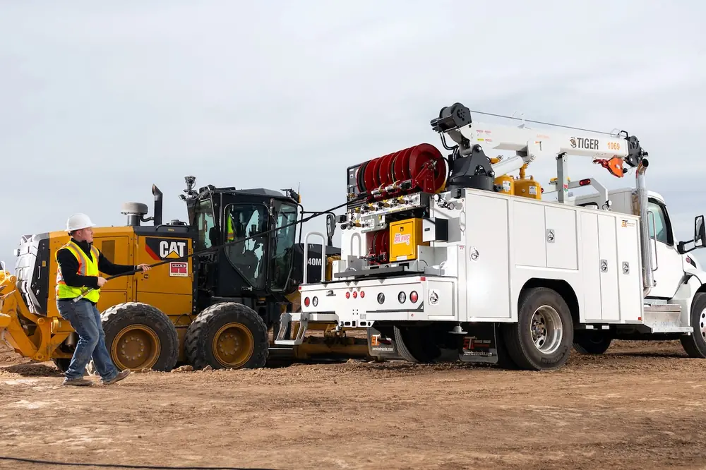
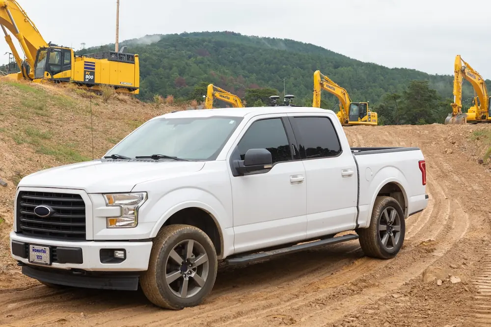
The value of GNSS technology is no longer confined to dozers, excavators, and motor graders. Guidance and control solutions are now available for scrapers, compact track loaders, pavers, grading attachments, and other equipment. Even supervisor trucks and utility vehicles (UTVs) can be used to collect site data and map progress in areas where earthmoving machines are not actively working.
As more machines become connected, contractors can extend digital workflows across the job site, capture a broader range of project information, and spend less time gathering information. And again: collect and share that data at an earlier point in time when it has a greater ability to affect change sooner in the process.
Productivity remains a primary reason contractors invest in GNSS technology, but safety is becoming a larger part of the conversation.
Modern GNSS systems can support capabilities such as virtual boundaries, overhead hazard awareness, and underground avoidance zones. These tools help operators work more confidently in complex environments while helping reduce the likelihood of costly mistakes. While it is not a failsafe, it is a significant gain in function to support safety.

| Your local Wirtgen America dealer |
|---|
| United Construction & Forestry |
| WI Clark |
| Dobbs Equipment (SC) |
Automation is advancing as well. Semi-automatic functions such as swing-to-line and trench-to-line can help operators perform repetitive tasks more consistently, reduce fatigue, and improve efficiency.
For an industry facing ongoing workforce challenges, technologies that help operators become productive more quickly can deliver significant value.
GNSS technology has come a long way from its early role as a grading tool.
Today, contractors have more options, simpler workflows, and access to capabilities that were difficult to imagine just a few years ago. At the same time, connected machines are generating a growing stream of information that can improve project visibility and support better decisions and outcomes.

| Your local Volvo Construction Equipment dealer |
|---|
| Tyler Equipment |
The productivity benefits that originally drove GNSS adoption remain as important as ever. What's changing is that contractors are discovering a continued evolution of value. The machine isn't just moving material — it's creating information that can improve planning, strengthen documentation, and support better decisions across the job site.
Ron Schwieters is Senior Manager, Customer Solutions, for Komatsu North America. He has more than 20 years of experience in construction technology, machine control, and GNSS solutions.