“The purpose of this project revolves around safety and operations,” says John W. Kronholm, Resident Engineer with CDOT. “Vail Pass has had a lot of closures on it due to crashes and spin outs. The addition of the third lane and other components of the project will decrease the number of crashes by about 40 percent.”
Every time the road shuts down due to an accident, it has a $1 million per hour impact on the local economy.
“Over time, the project will pay for itself,” Kronholm says. “I truly believe in the purpose and need for the project”
The current Vail Pass was constructed in 1978 and runs from the East Vail Exit at Mile Point 180 to the Vail Pass Rest Area at Mile Point 190, a stretch which currently features steep grades and tight curves. An average of 22,000 vehicles travel on this stretch of highway daily. The route carries both passenger vehicles and slow-moving trucks and recreational vehicles. I-70 serves as a prime transportation and freight route and a critical transportation link in this part of the country.

| Your local Trimble Construction Division dealer |
|---|
| SITECH Northeast |
| SITECH Allegheny |
“We have a turbulent traffic flow on the pass, and that’s because of the speed differentials between the slow-moving trucks and RVs and the fast-moving passenger vehicles, both in the uphill and downhill directions,” Kronholm reports.
The entire project takes place within U.S. National Forest Service property. “There is a huge benefit to the environment and traveling public for this project,” Kronholm adds.
The project is funded by an Infrastructure for Rebuilding America (INFRA) grant from the Federal Highway Administration. At the time, it was the largest INFRA grant received by the CDOT, Kronholm reports.
The project also will widen the interstate to add 5 miles of a third lane eastbound from Mile Point 185 to 190, which anyone can use. Trucks and large recreational vehicles will be able to use this new 12-foot lane as a climbing lane while other traffic can proceed at full speed in the existing two lanes.
“The point of this job is to expand the capabilities of the Vail Pass by adding more lane miles on the east side,” says Adam Geis, Project Manager for Kiewit Infrastructure of Lone Tree, Colorado, which received the Construction Manager/General Contractor (CM/GC) contract and began preconstruction activities with the design team – led by prime design consultant RS&H of Jacksonville, Florida. The department and the team collaborated with the community to determine priorities.
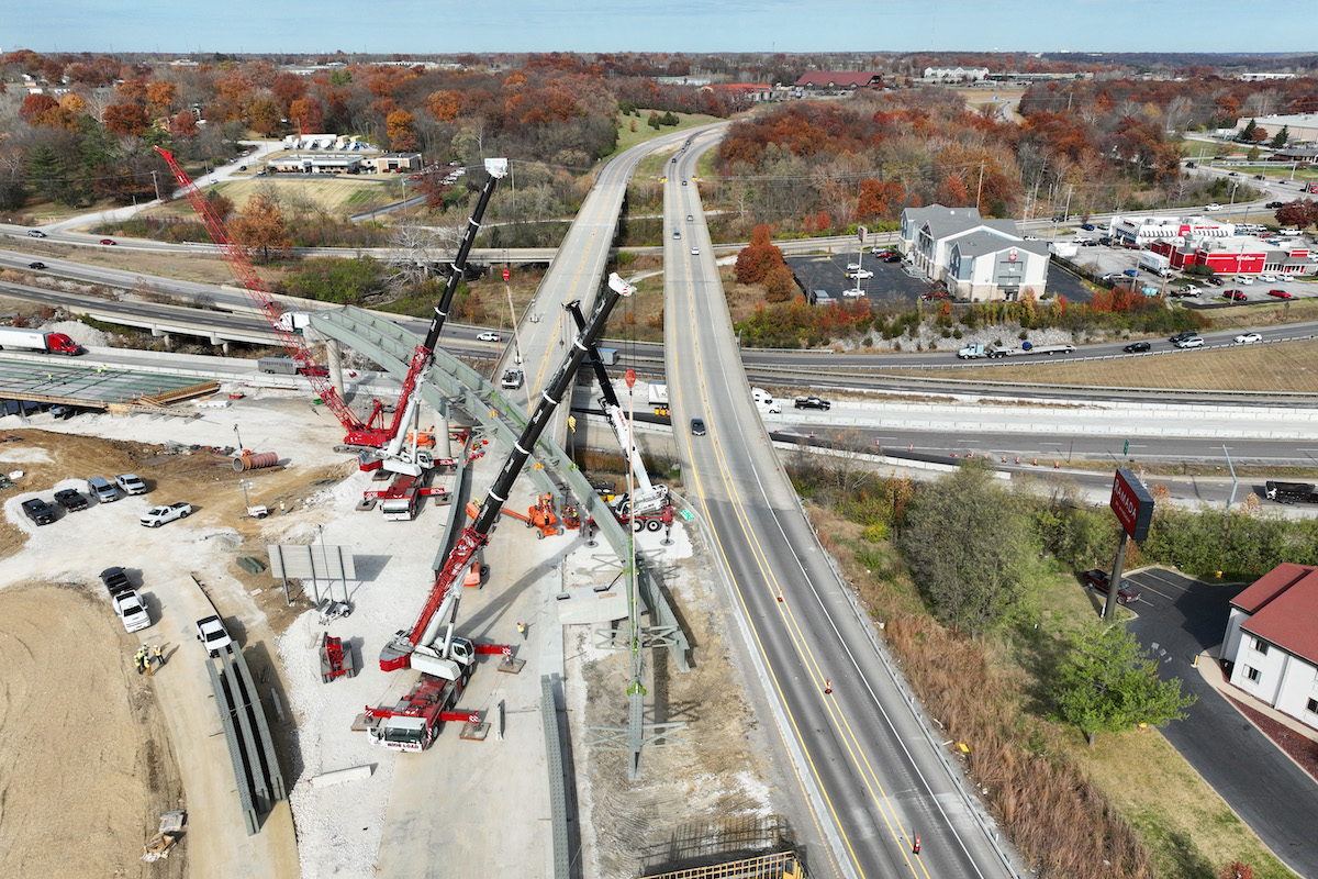
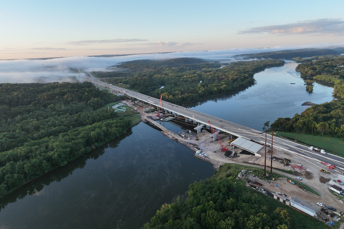
Crews also will reconstruct two older and structurally deficient bridge structures at Mile Point 185.2 and add a couple of pull-out areas where trucks can check their brakes or safely pull off the road for any other reason.
“The area where we are replacing the two bridges has a lot of constraints,” Kronholm says.
Work on the westbound bridge is under way. On the uphill side is the Miller Creek Land Slide, with steep topography, a bike path, and a special fen wetland (a peat-forming wetland with significant biodiversity), which the team must avoid. Crews are excavating to make room for the bridge and a wider turning radius along the roadway. The downhill or south side has steep topography and a 50-year-old, 40-foot-tall wall that holds up the current highway.
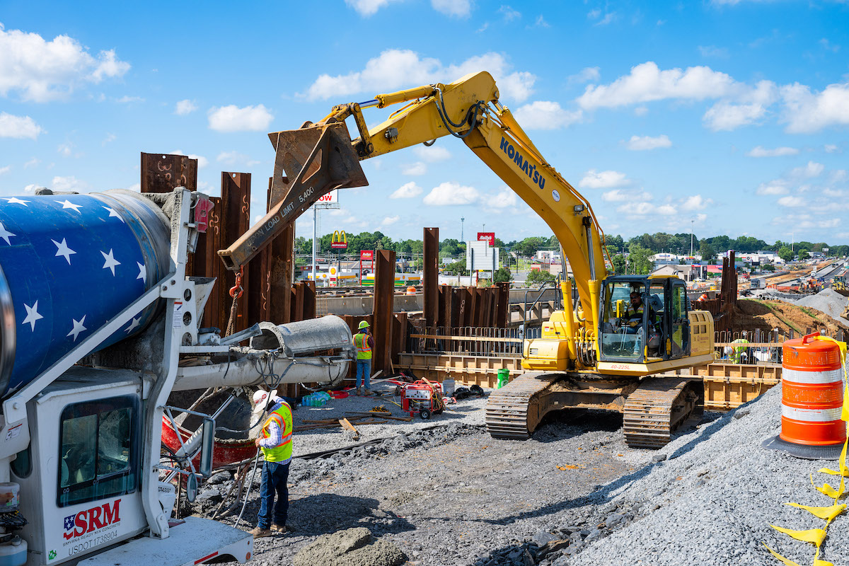
The construction of the new bridges required building a new wall on the uphill side in the Miller Creek historic land slide. Crews bored into the hillside to draw down the water table before starting on the wall. Then crews constructed a soil-nail shotcrete wall to create a vertical slope to make room for the road. That wall will be shaped like a rock outcrop, following the aesthetic guidelines developed for the project.
Crews must take precautions on both sides of the road to ensure the water quality remains high at Black Gore, Miller and Polk creeks.
“It’s challenging during the spring and fall with snow and runoff to make sure measures are in place to keep the creek running clean,” Geis says.
The highway will be moved away from Black Gore Creek, so in the winter months, less traction sand will end up in the creek’s water. Additionally, crews are creating sediment ponds to catch traction sand.
Crews also are “curve smoothing” the highway, in other words, modifying the curve radius to handle 65-mile-per-hour travel westbound from Mile Points 186 to 188. The existing tighter curves have contributed to the high crash patterns.
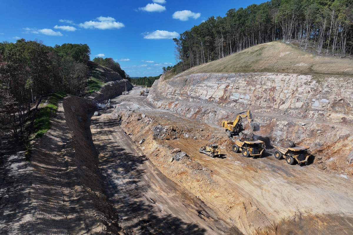
“There was a little room on the mountain side, so we dug into the mountain and excavated,” Geis says. Crews used traditional excavators. All of Kiewit’s heavy machines are equipped with GPS. The company also is flying drones to accurately measure quantities.
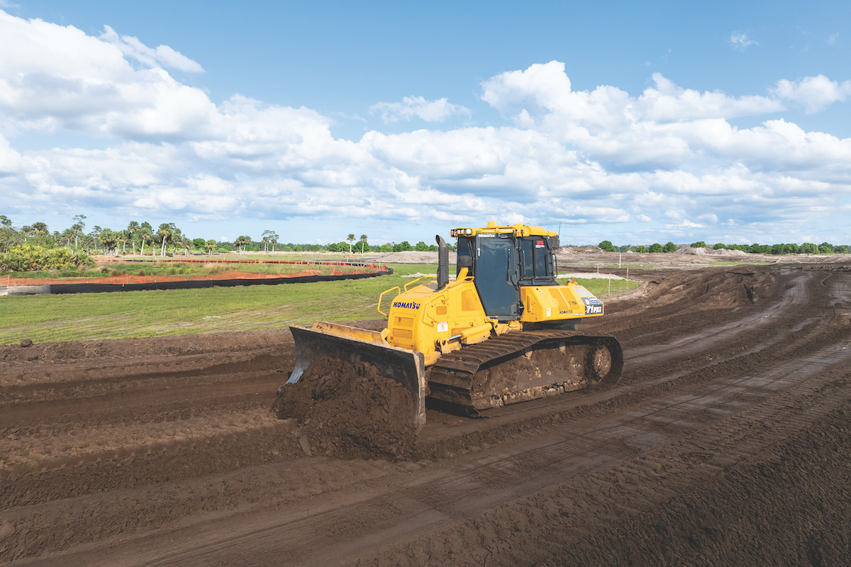
In some places, the contractor will widen the inside shoulders to 6 feet wide from 4 feet wide. Kiewit will pave the highway with asphalt.
To move the recreation trail, the contractor had to blast about four times. Traffic was held for 30 minutes during those blasting events.
Maintaining traffic has presented challenges. Lane closures have occurred mostly during off-peak travel times, such as during the spring and fall.
“This is a pretty busy stretch of road,” Geis says. “We work during the summer behind barriers, because we cannot shut down lanes.”
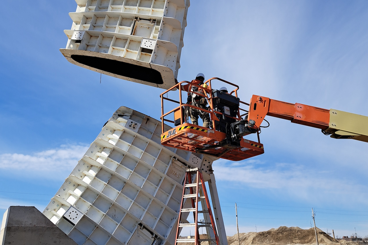
The project features several aesthetic features to preserve the historical context of the roadway at the request of community stakeholders. The project includes sculpted walls, with tiers that can promote vegetation growth.
“We are trying to match the existing topography and blend in as much as possible,” Kronholm says.
The project is scheduled for completion in December 2026. In a future contract, work will start on the eastbound bridge. This team has worked together for three years on the project and has established good working relationships, Geis says.
“From the efforts of the design team, the construction management team and Kiewit, there has been an unwavering commitment to deliver it on time,” Kronholm concludes. “The outcome will be tremendous.”
Photos courtesy of Kiewit Infrastructure


