“These trailblazing projects from the southern region of the United States play a vital role in bolstering safety, advancing mobility, responding during natural disasters, and creating more multi-modal options for all communities,” said Jim Tymon, Executive Director of AASHTO. “Now in its 16th year, the America’s Transportation Awards commemorate the best of our industry and highlight the critical work that our state DOTs accomplish from coast to coast.”
Nineteen projects in the Southern Association of State Highway and Transportation Officials (SASHTO) region were nominated by DOTs for this year’s competition. The following four projects in the Construction area were winners of regional America’s Transportation Awards.
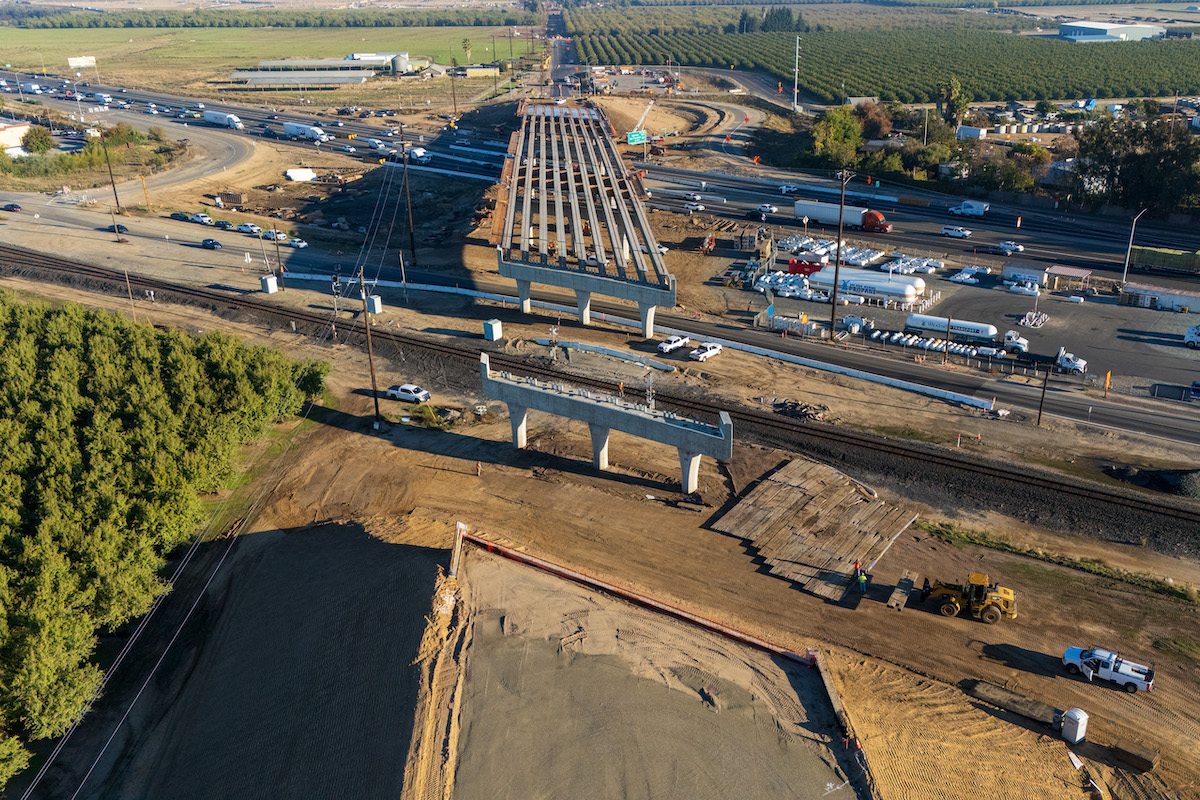
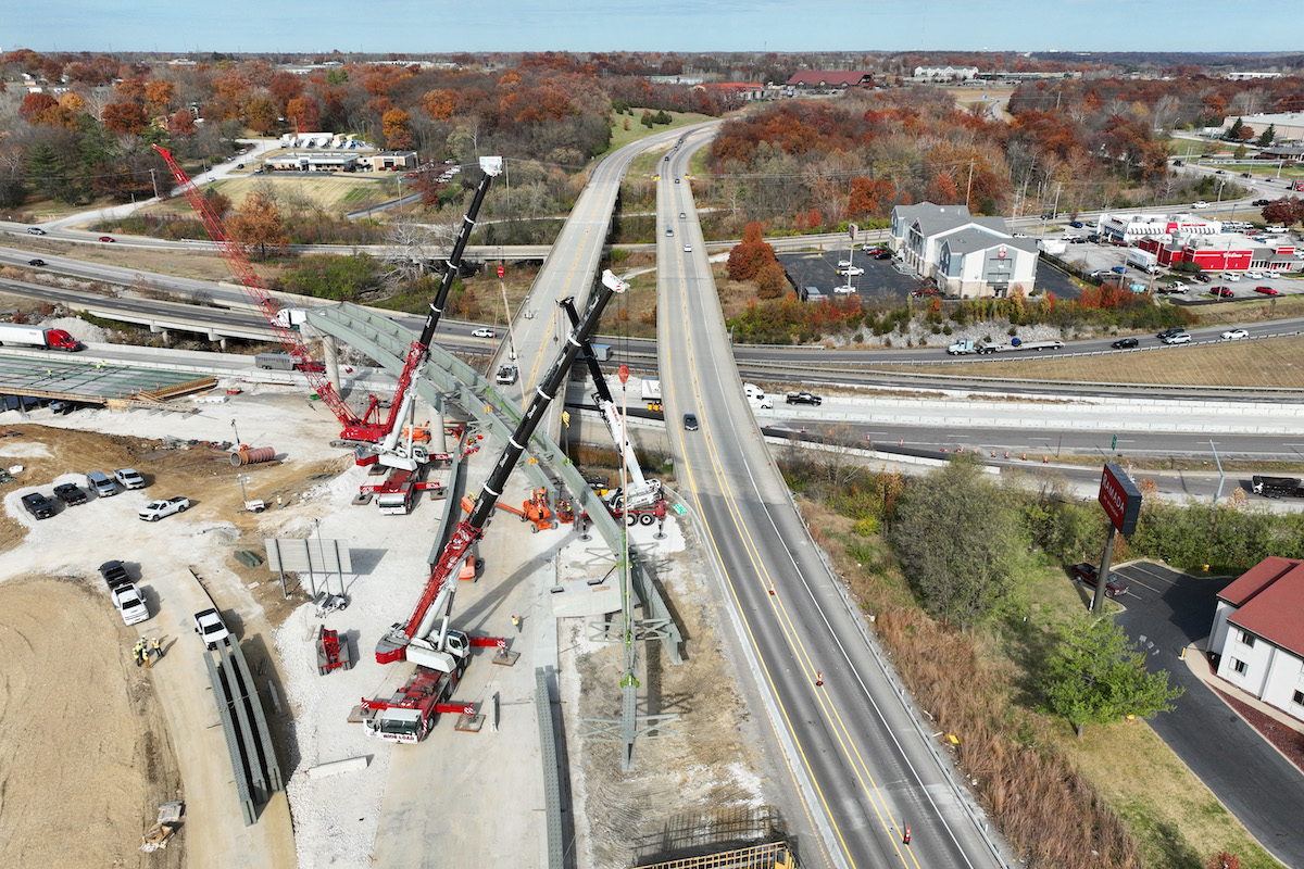
Along with linking the two highways, the East End Connector constructed a new crossing over a major railroad corridor. This improvement has greatly enhanced mobility in the area by eliminating a previous barrier. The project also included an interchange at Carr Road on U.S. 70, as well as bicycle, pedestrian, and improved safety benefits.
The East End Connector project encompassed almost every aspect of major heavy civil highway construction, including concrete and asphalt paving, 16 bridges (including flyovers, railroad bridges, a scissor bridge, and four rehabilitated bridges), four different types of walls, and four culverts.

| Your local Trimble Construction Division dealer |
|---|
| SITECH Allegheny |
| SITECH Northeast |
The completion of the East End Connector is expected to reduce congestion on the Durham Freeway and U.S. 15-501, easing the burden on local roads like Duke, Gregson, Mangum, and Roxboro streets. Additionally, it aims to boost economic development in the region, improving access for travel and the transportation of goods between the counties north of Durham and key employment and retail centers.
This $10 million project features variable speed limits ranging from 35 to 70 miles per hour, accompanied by dynamic message boards that inform drivers of the current speed limit. A total of 48 variable speed limit signs are placed every half-mile to one mile along the project corridor.
The system operates based on real-time traffic conditions. Vehicle detectors collect data on traffic speed and volume, which is then analyzed by a software program. When traffic approaches potentially hazardous conditions, like high volume and excessive speed, the speed limit is gradually lowered. Once traffic flow stabilizes, the speed limit reverts to the maximum speed.
Since implementation, this technology has effectively reduced instances of high-speed driving on I-95 and decreased severe crashes resulting in injuries or fatalities by more than 20%.
Prior to this project, the stretch between the southern portion of the Pea Island National Wildlife Refuge and northern Rodanthe had been extremely vulnerable to ocean overwash, coastal erosion, and shoreline advancement. Storms would routinely render this roadway impassable for days, leaving eight communities reliant on ferry services for access to essential resources, jobs, education, and health care.
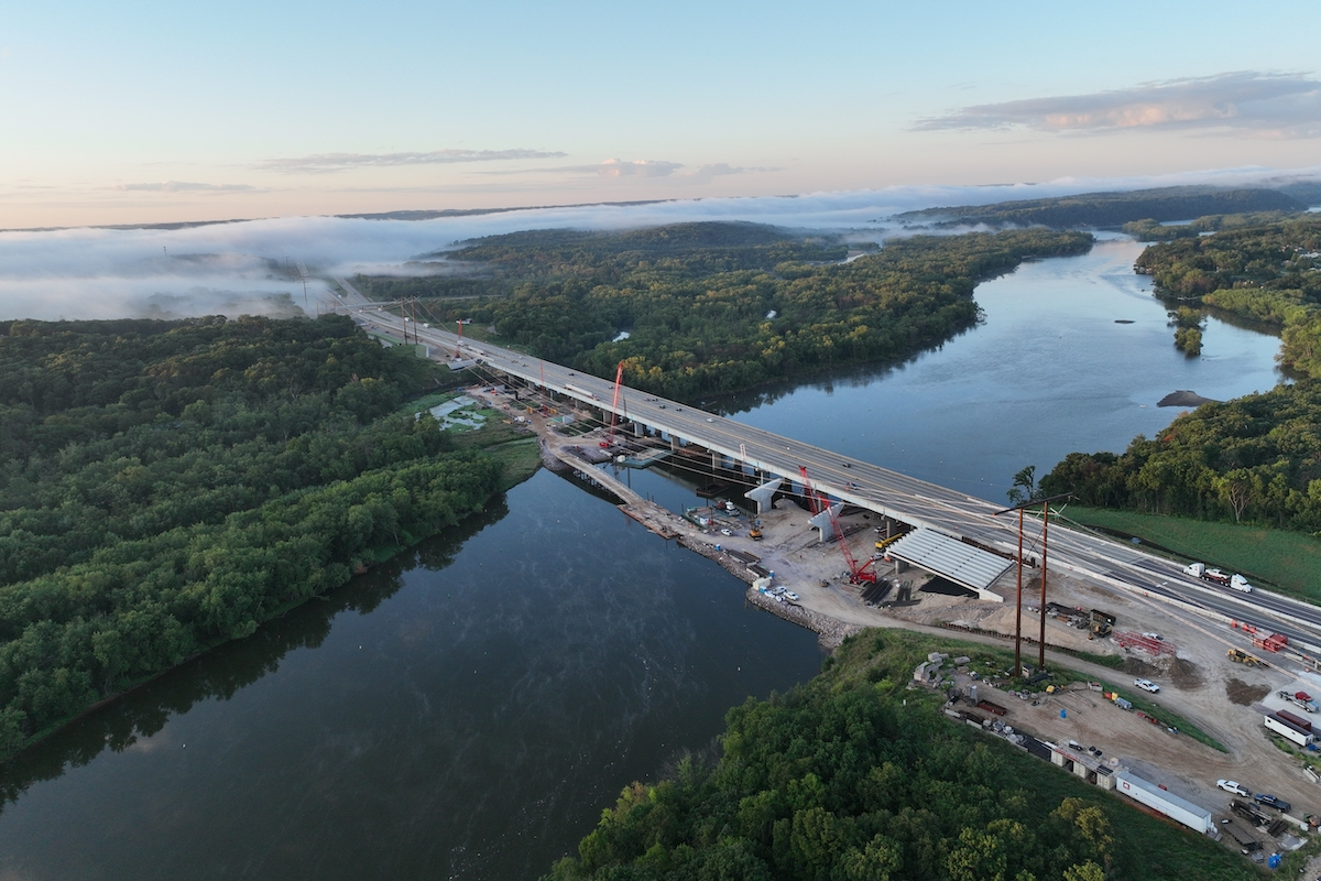
The new 2.4-mile Rodanthe “Jug Handle” Bridge provides the community with a highway protected from storms while alleviating traffic congestion. The elevated structure carries N.C. 12 above the waters of Pamlico Sound, diverting the route from its previous course along the sandy barrier islands. Additionally, the project involved the removal of 1.67 miles of roadway within the wildlife refuge, reinstating the surrounding area as a critical wildlife habitat.
By extending into Pamlico Sound, the project minimizes its impact on sensitive environmental zones, the ocean and sound shorelines of the islands, and the Rodanthe community. The Rodanthe “Jug Handle” Bridge has established a reliable transportation link for residents and visitors, serving as a vital connection point for remote areas of North Carolina.
Recognizing the need for improved flood preparedness, NCDOT developed a new flood warning system to enhance transportation resilience and contribute to the safety of North Carolina's residents and visitors. The system relies on a network of 400 river and stream gauges, covering nearly 3,000 miles of state-maintained roads, primarily east of Interstate 95.
For the first time, the flood warning system equips NCDOT with the capability to analyze, map, and communicate real-time flood risks to roads, bridges, and culverts. This information is disseminated to NCDOT maintenance staff, enabling them to respond swiftly to flooded roads and damaged culverts. Additionally, it serves as a vital resource for local emergency management officials and the general public, who can access timely weather-related closures through the department's website.
The Top 12 projects in alphabetical order by state are:
- Florida Department of Transportation’s Hurricane Ian Sanibel Island Emergency Access
- Georgia Department of Transportation’s Historic 5th Street Pedestrian Bridge Rehabilitation Project
- Illinois Department of Transportation’s Jane Byrne Interchange
- Iowa Department of Transportation’s Adult Changing Facilities in Iowa Rest Areas
- Kentucky Transportation Cabinet’s Mayfield Tornado Response
- Maine Department of Transportation’s The Veranda Plan
- North Carolina Department of Transportation’s Flood Warning System
- Pennsylvania Department of Transportation’s Emergency Fern Hollow Bridge Replacement Project
- South Dakota Department of Transportation’s U.S. Highway 83 Corridor Improvements and Reconstruction
- Texas Department of Transportation’s Mobility35 Initiative to Address Homelessness Program
- Utah Department of Transportation’s Teamed-Up for Transit: UDOT and UTA Partner to Improve Mobility for Local Community
- Vermont Agency of Transportation’s Lamoille Valley Rail Trail


