Unfortunately, Louisiana has lost over 1,800 square miles of land over the last 90 years, and continues to lose approximately one football field's worth of land every hour or two. Over the next several decades as much as 800,000 acres of wetlands will be lost – in some areas, the coastline will move inland by 33 miles.
Additionally, the Deepwater Horizon oil well drilling platform explosion in April 2010 started the largest marine oil spill in U.S. history, seriously polluting the coastal areas of five states bordering the northern Gulf Coast, including Louisiana.
In the aftermath of the spill, multiple state and federal agencies completed an intense study of the disaster's impacts, and from this study developed a comprehensive restoration plan for the Gulf of Mexico. This planning was led by the National Oceanic and Atmospheric Administration (NOAA), and included the five Gulf states and three additional federal partners that comprise the Deepwater Horizon Trustee Council, a joint federal and state body which is now overseeing the restoration.
NOAA's Donna Rogers, Upper Barataria Marsh Creation Project Manager, gives an overview of the project and its goals. “The project is designed to restore habitat damaged by the Deepwater Horizon oil spill, by creating up to 1,183 acres of intertidal wetlands and marsh. The project includes filling areas to create an intertidal marsh platform that will support marsh plants, healthy coastal wetland habitats, and healthier fisheries.

| Your local Trimble Construction Division dealer |
|---|
| SITECH Northeast |
| SITECH Allegheny |
“The new habitat will support diverse species of fish and wildlife – including many species important to Louisiana’s fishing economy, such as white shrimp, blue crabs, and redfish. The habitat will also protect human coastal communities and resources from the impacts of future storms by dissipating wave energy. Additionally, the project is supporting more than 140 construction-related jobs, further enhancing habitat restoration’s economic benefits in the region.”
According to Rogers, the total cost of the project – including design, construction, and long-term monitoring and adaptive management – is estimated at up to $181 million. The project is funded by the settlement with BP following the Deepwater Horizon oil spill, as directed by the Louisiana Trustee Implementation Group, from funding that falls within the Natural Resource Damage Assessment process. She adds, “While the timeline is dependent on sediment availability in the permitted ‘borrow areas’ in the Mississippi River (areas from which the project takes sediment for marsh-building), the project is scheduled to be completed by December 2024.”
Weeks Marine, Inc. is the construction contractor. Moffatt & Nichol is the engineer of record, design, and construction. The contract for design and engineering was awarded in May 2018; planning, engineering, design and permitting activities took place from July 2018 through July 2021. Construction work on the project began in December 2021.
The project design includes five marsh creation areas, each of which has a unique shape and acreage and requires a specific approach to construction. The construction of three of the marsh creation areas is expected to be completed by spring of 2023. Rogers reports that the project is approximately 54 percent complete, with approximately 644 acres of marsh habitat constructed.
Mel Landry, NOAA Louisiana Restoration Lead, reports that the current project is part of a decades-long effort to restore the Barataria Landbridge. “Restoration began in April 2009 with the Bayou Dupont Sediment Delivery System – with the construction of a sediment pipeline corridor from the Mississippi River, below a railroad and a major highway, and into the Barataria Basin. Since then, partners including NOAA, CPRA, and the Environmental Protection Agency (EPA), have constructed 1,015 acres of wetlands in the area. After the Upper Barataria Marsh Creation project is complete, the wetland will form a restored land bridge that stretches from the hurricane protection levee in Plaquemines Parish to the Barataria Waterway in Jefferson Parish.

| Your local Trimble Construction Division dealer |
|---|
| SITECH Northeast |
| SITECH Allegheny |
“The construction process includes dredging the Mississippi River for approximately 8.4 million cubic yards of sediment (nearly twice the volume of New Orleans' Superdome stadium), pumping it through a 13-mile pipeline, and filling in the project areas to create up to 1,183 acres of intertidal wetlands and marsh.”
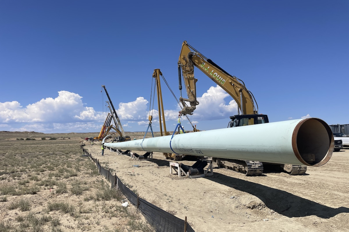
The project involves dredging sediment from two permitted borrow areas in the Mississippi River. The dredge is equipped with a cutter head designed to dislodge sediment from the river bottom, and then suction the sediment with water to create a slurry. This slurry is then pumped through a 13-mile pipeline to the marsh creation area.
Three booster pumps are operated from the dredge to move the slurry through the distance of the pipeline. Two of the booster pumps use electricity instead of diesel fuel to move the sediment through the pipeline. This saves on operating expenses, since the cost to operate electric boosters is approximately 50 percent of the cost to operate diesel-powered pumps.
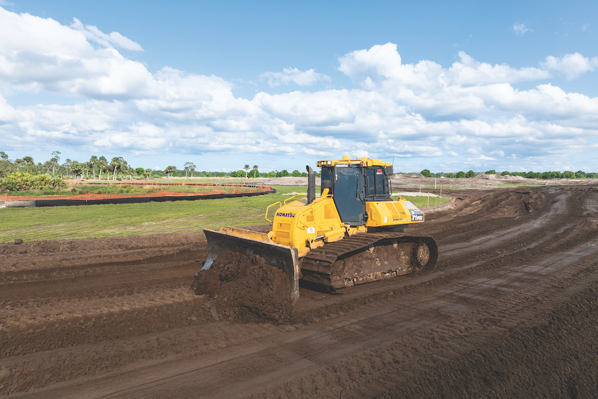
When the sediment reaches the marsh creation area, construction crews use heavy equipment to spread and shape the sediment, using a mix of diked and natural edges and openings to retain sediment while allowing for water flow into the marsh area.
“The development and installation of the sediment pipeline was a long and complex process. It took nearly eight months to route and weld the above-ground portions of the pipeline. The 13-mile distance of the project site from the borrow areas is another challenge because the pipeline route has to be coordinated with existing infrastructure and waterways.”

| Your local Trimble Construction Division dealer |
|---|
| SITECH Northeast |
| SITECH Allegheny |
The project site is located near a levee construction site and heavily trafficked areas, which required strategic routing of the sediment pipeline and the sharing of roadways and nearby shipping channels for construction activities. Construction crews also had to share the dredge with another federal project in the fall of 2022, which temporarily paused the transport of sediment to the marsh creation areas.
Louisiana's massive Upper Barataria Marsh Creation Project will contribute significantly to the restoration of the basin's wetlands, after the heavy impact of the Deepwater Horizon oil spill – a disaster which also accelerated a severe land loss trend threatening Louisiana’s estuaries. The newly created marsh areas will not only protect communities from storms and flooding but will also provide a home for many of the animals that are so important to the Louisiana economy and need these protected habitats to survive.
Landry states, “NOAA is proud to partner with the Louisiana Coastal Protection and Restoration Authority in efforts to protect, restore, and sustain coastal ecosystems. The Louisiana Coastal Master Plan is a playbook for NOAA’s work in the state to restore habitat that provides maximum benefit to fisheries, communities, and the economy.
“The Upper Barataria Marsh Restoration project helps to significantly advance the goals of the Louisiana Coastal Master Plan. By working with our state partners, we can build massive projects that meet the goals of our agency, the State of Louisiana, and local communities.”


