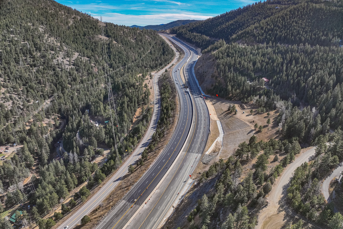
In September 2013, flood waters saturated the mountainous terrain of Colorado Highway 119, causing numerous material slides, ditch damage, and erosion to the roadway embankment. After eroding the highway embankment, the floods washed out the road in several places. Large amounts of debris, rock, and sediment were deposited in the creek and, as a result, redirected water flows — further contributing to the erosion of the channel banks and the undermining of the highway. Hundreds of residents were cut off from emergency services.
The project’s long-term improvements have transformed this corridor into a safer and more resilient environment for Colorado residents every day and especially during future flood events. The complete improvements include:
- 13 miles of repaved highway
- Two miles of entirely redesigned and reconstructed highway
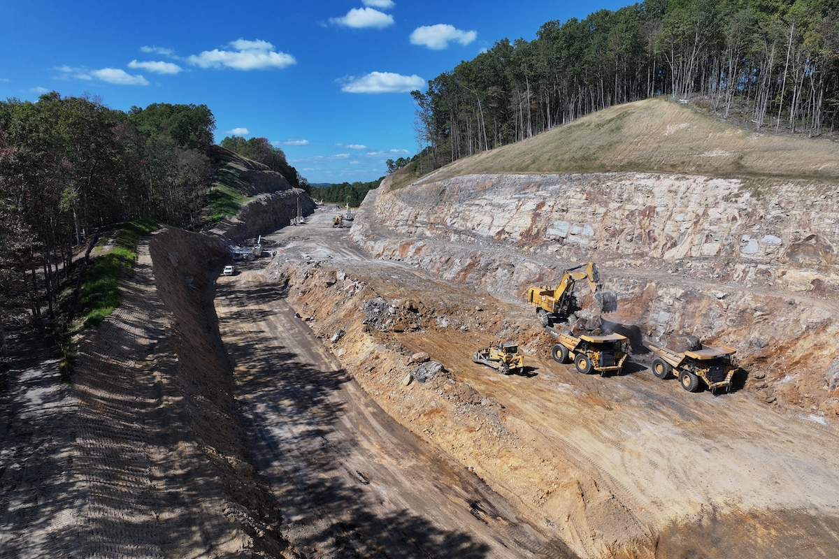
- Rock blasting to widen roadway in areas where highway was washed out
- Rock stabilization to prevent rock slides
- Cleaned, replaced, or added culverts to convey stormwater drainage under the highway
- New highway directional and safety signage
- Removal of materials placed during emergency repairs
- Repaired slopes where material failed in the storm
- Re-established native grass seed and erosion control to slopes that were disturbed during emergency recovery work
- New, more effective rumble strips
- Concrete islands to improve the roundabout in Nederland
- 3,500 feet of trail extension in partnership with Boulder County


