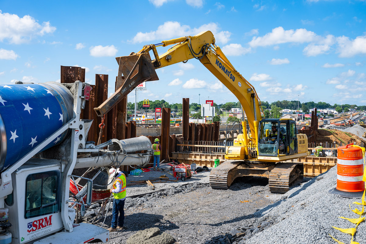
Kerr Contractors of Woodburn, Oregon, was the contractor for the $31.8 million project, which was funded through modernization and preservation funding (92 percent federal funds and 8 percent state funds). The project also included bridge work, new retaining walls, and modification of an existing reinforced concrete box culvert for use as a wildlife crossing under I-5.
Climbing lanes for the southern Oregon corridor have been on the state's Southwest Area Commission on Transportation radar for many years, according to Kevin Peterson, P.E., Resident Engineer with ODOT. “This project began Design Acceptance Plans – or concept – in November 2016. The plans, specifications, and estimate were submitted in September 2018. The project was bid in November 2018 and on-site construction began in February 2019.”
The heavy traffic on the interstate, and the geography of the area through which it runs, have increasingly caused congestion and safety issues. Traveling on Interstate 5 through southern Oregon, drivers encounter several steep summits where trucks and other large vehicles slow down in the outside lane. This slowing results in congestion and increases the possibility of crashes.
As Peterson points out, “The geography of southern Oregon consists of mountainous valleys. This creates both passes for commercial freight to traverse as well as multiple horizontal curves throughout. The corridor is served by two lanes in each direction and has seven elevated passes within the southern 140 miles of I-5 which are bottlenecks to commercial and non-commercial traffic. This heavy freight route is often congested even in low AADT sections.”
He says the elevated pass at Roberts Mountain has historically been a bottleneck. “The northbound and southbound approaches to Roberts Mountain are two of the more congested passes in southern Oregon, and the right shoulder – which is often used by freight trucks as a climbing lane – was not wide enough to provide full-width driving, causing safety concerns for disabled vehicles stopped on the shoulder.”
Additionally, Roberts Mountain is located within a segment of I-5 where the road surface is cracked and showing signs of deterioration. In addition to requiring costly repairs, further deterioration posed a safety risk to the traveling public. Says Peterson, “Roberts Mountain is a dynamic section of roadway created by high water tables and geologic instability of this section of I-5. A large buttress was constructed during the early 1980’s at the summit of Roberts Mountain southbound due to slide activity. Additionally, cement treated base from 14 inches to 20 inches thick was used in sub-grade construction due to the high water levels.
- The relocation of an unnamed creek by 120 feet to the west, with the construction of a new creek channel
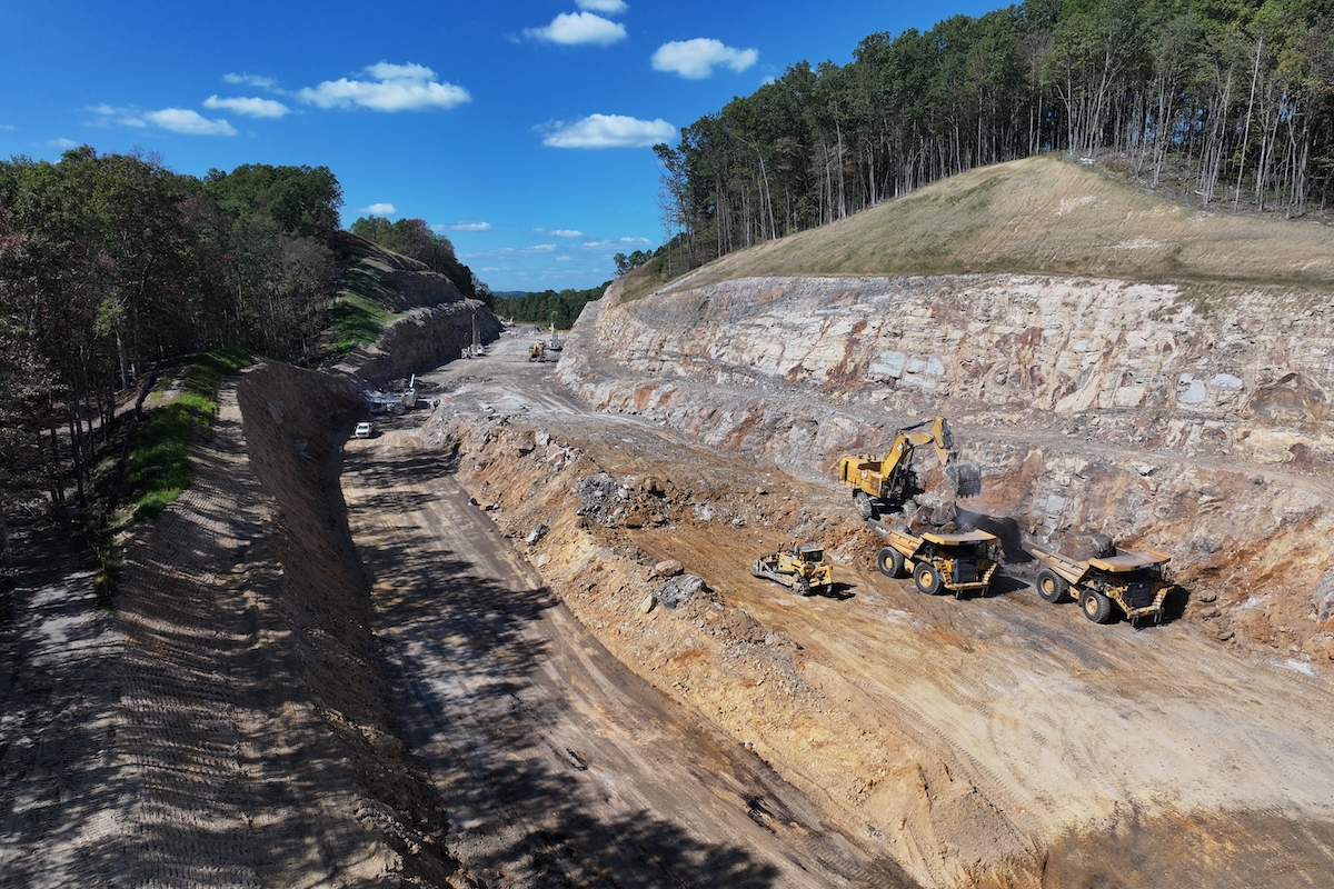
- Construction of a new embankment on the west side of the interstate, with excavation of 740,000 cubic yards in two stages – upper summit excavation and buttress excavation
- Installation of 37,000 linear feet of horizontal drain
- Excavation (180,000 cubic yards) of the existing rock buttress
- Construction of two soldier pile retaining walls
Stages 3 and 4 encompassed the repaving portion of the project, including:
- A new paving section on the climbing lanes utilizing asphalt concrete pavement (ACP)
- Cold plane pavement removal (3-inch inlay)
- Barrier, guardrail, and drainage construction
Kerr Contractors began the excavation work in May 2019, starting with tree-cutting and removal, then the building of access roads and placement of temporary traffic barriers. Peterson relates, “The staging required installation of temporary/permanent 1-½-inch horizontal drains in 5-inch steel casing (+/- 300 feet long) in the location of the summit buttress prior to beginning excavation. Stage 1 included the upper summit drains, and stage 2 the lower summit drains. This was a balanced earthwork project resulting in all excavation used as embankment of the widened highway section. The highway was widened to the west to allow width for two climbing lanes – one in each direction. Due to mobility concerns, the staging required that two lanes in each direction be maintained.”
The preservation/paving portions of the project included:
- 85,000 tons of ACP – 20.4 lane miles
- 3,800 linear feet of culvert/drain/storm sewer pipes
- 6,000 square feet of soldier pile tie-back retaining walls
- 23,815 feet of 31-foot guardrail
- 5,000 feet of concrete median/shoulder barrier
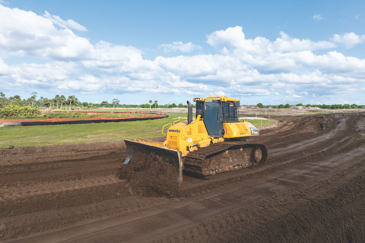
Peterson reports that a wide range of major earthwork equipment was used on the project, including excavators, scrapers, off road dump trucks, dozers, graders, and blasting equipment.
Peterson reports that the project was not significantly impacted by weather challenges beyond normal winter slowdowns for earthwork. “The greatest challenge occurred when excavation on the summit buttress began. This was segmented construction in order to maintain the stability of the slide. Once the first segment was removed the slide activated and work was stopped, and 24-hour backfill commenced to slow the activation. Seven months later, the excavation began again with a different method. Once again, the slide activated and excavation ceased. Finally, a design to remove the majority of the slide behind the buttress was mostly excavated and the existing buttress remained in place with minor excavation at its face to allow room for new ditch line. The slide activation created a project delay estimated at three months.”
With the completion of the I-5 Roberts Mountain to South Umpqua River Paving and Climbing Lanes Project, all travelers through the heavily-travelled Oregon mountain pass will benefit from upgraded road surfaces, and especially from the improved efficiency and safety of freight travel through the corridor.
Photos courtesy of the Oregon Department of Transportation


