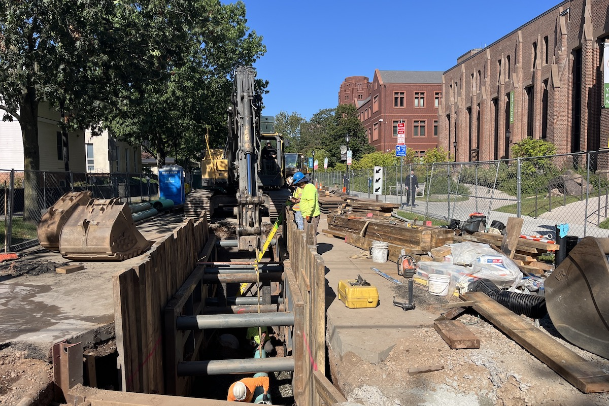
“Tracking and storing records about the specific location of underground utilities is vital,” explained Aaron James, Product Specialist II at Vermeer MV Solutions. “With many lines out-of-sight in the congested areas, identifying and tracking one from another can be challenging. The technology that powers the Vermeer Verifier G3+ utility locator helps operators accurately identify and track individual utilities in crowded rights-of-way. Its water-resistant, rugged design is well suited to the harsh everyday conditions that operators work in.”
The GPS-enabled Verifier G3+ utility locator can determine underground current direction against adjacent signals from other utilities. It can detect ambient noise so the operator can switch to a different frequency for a particular jobsite. Also, operators can adjust transmitter frequency and power outputs from up to 500 feet away using a wireless connection. Saved data from the locator is transferred using Bluetooth 5.0 to the G3+ Map app. The data can also be uploaded to the Vermeer Projects bore planning tool.
The Vermeer Verifier G3+ offers operators three locating modes: peak, peak/null and null. It has an exclusive water-resistant, one-size-fits-all coil clamp that does not need to encircle a utility to induce a signal. They can also add a mini probe to track the location and depth of non-metallic pipe accurately.
This latest generation of Vermeer utility locators replaces the standard Verifier G3 utility locator and comes with three-year coverage.


