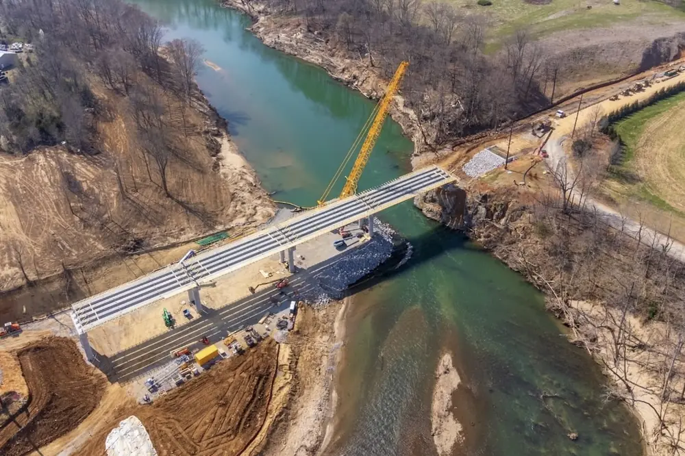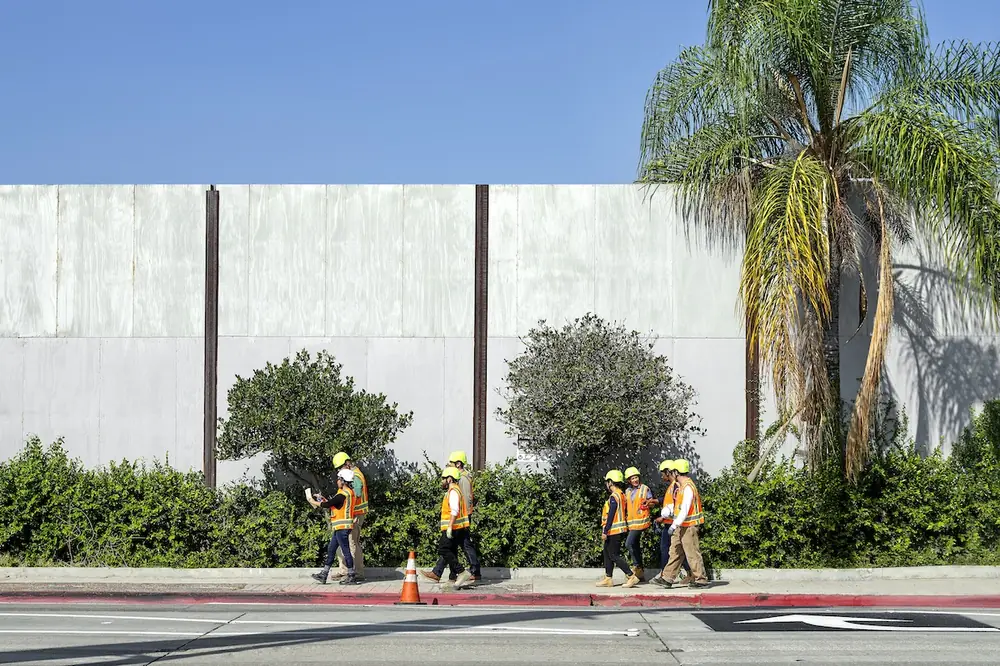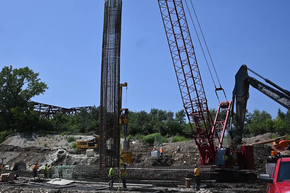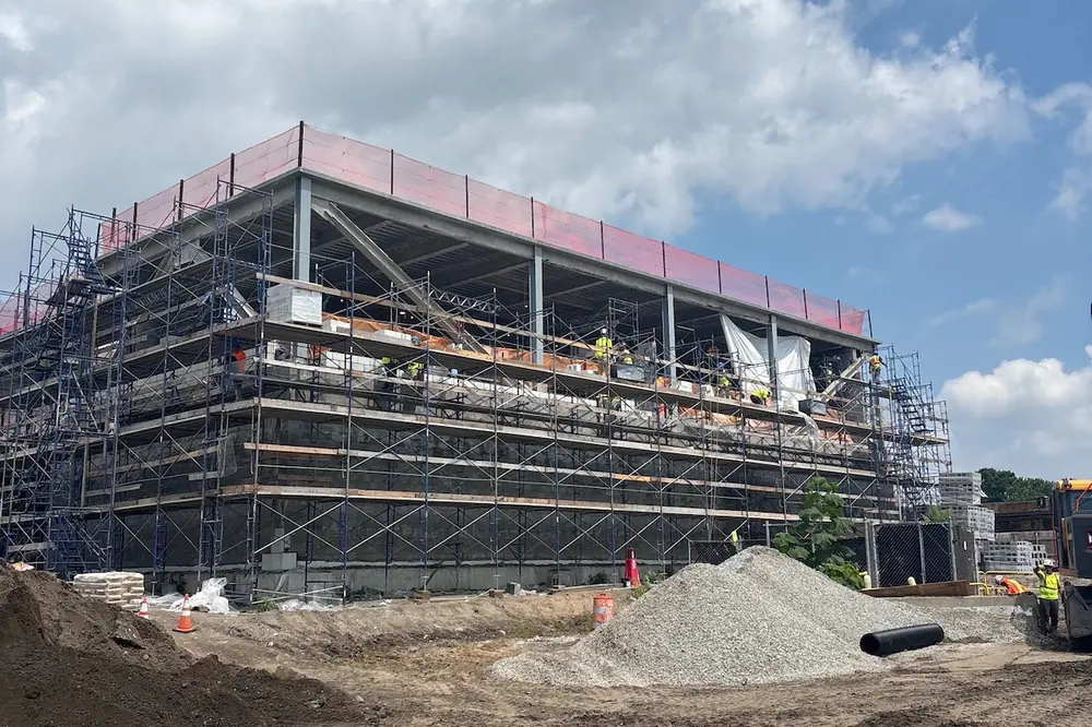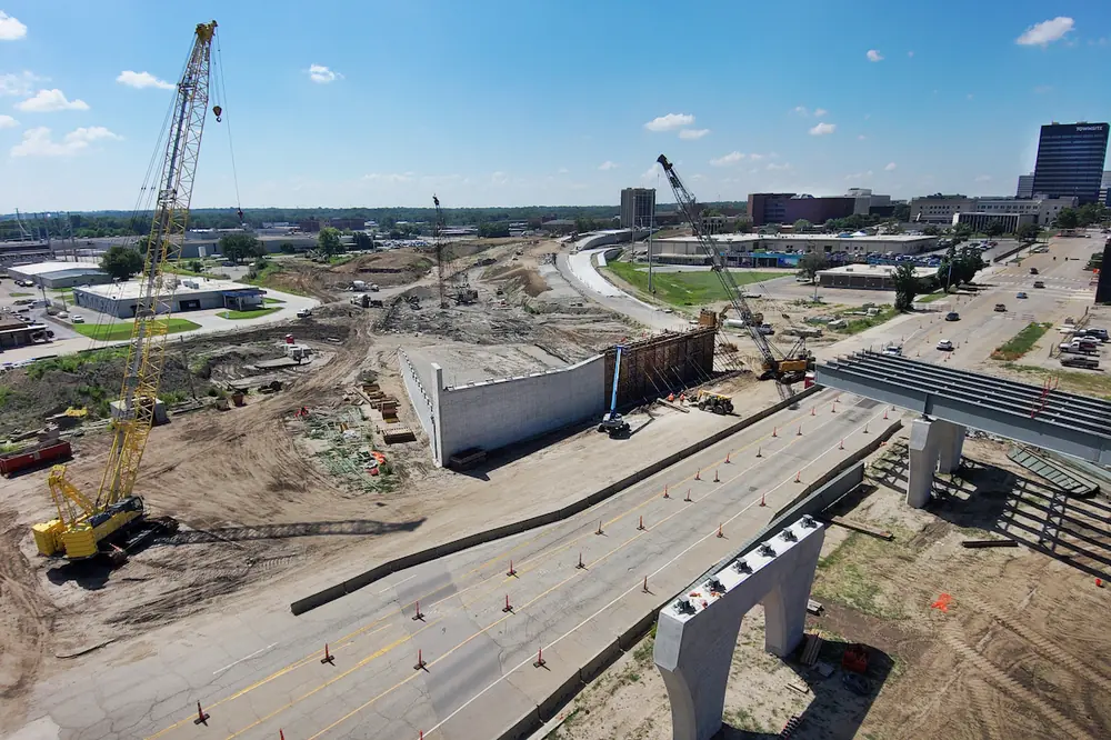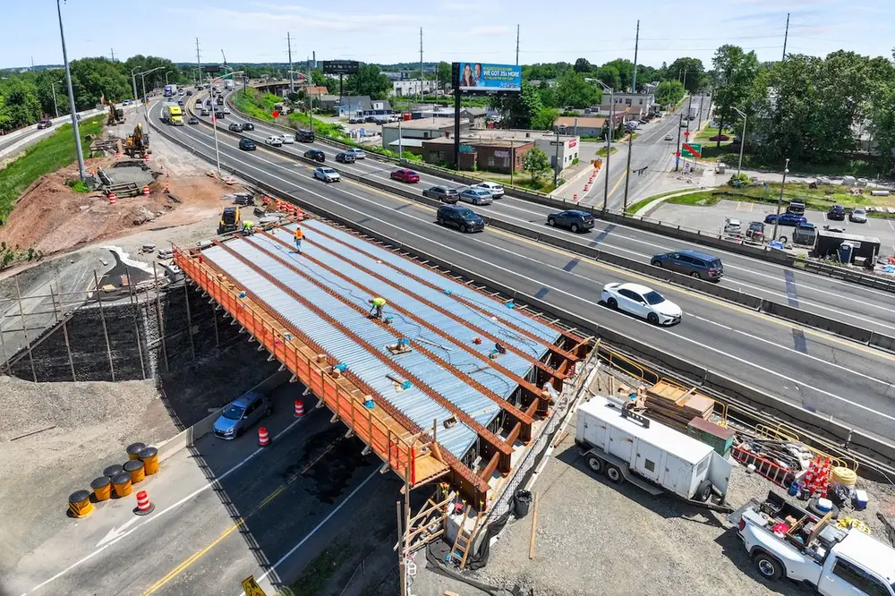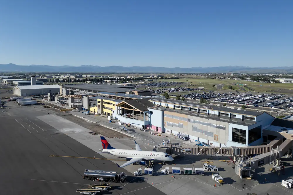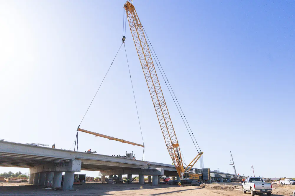

Capturing an image is the easy part. The work that actually matters, and the work almost everyone underestimates, is what you do with the image afterward. What happens weeks or months later when you suddenly need the image but cannot remember where it went?
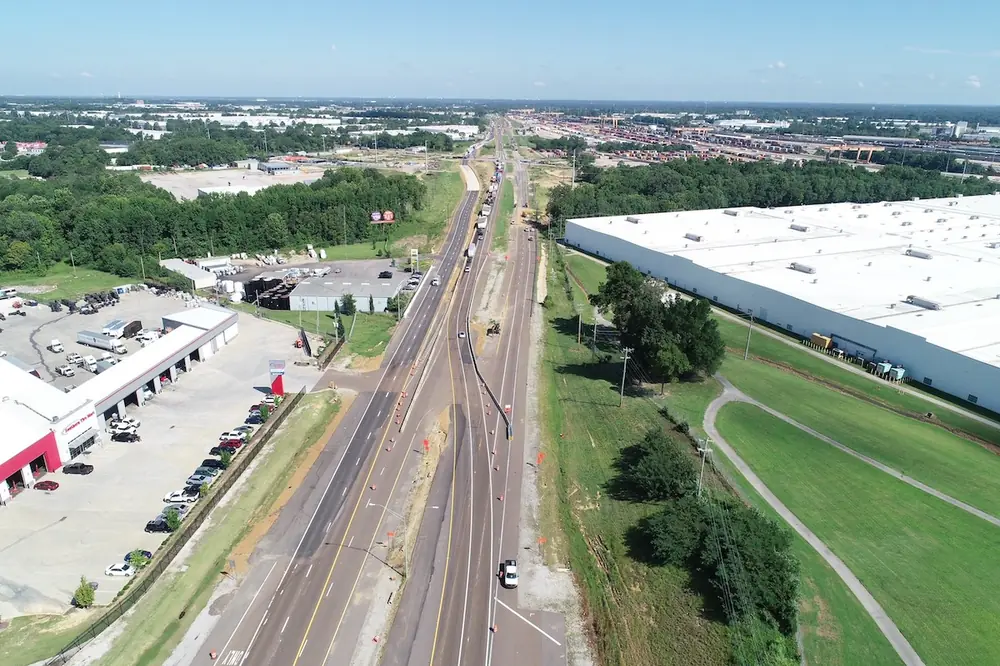
On most construction sites, there is a drone flight every week, a 360-degree camera bouncing around on somebody's hard hat, laser scans from the survey crew, and thousands of photos taken on phones. But most of that goes unused: images sitting in folders on a phone named after the date they were taken, or on a drive nobody opened since the person who made it left the company.
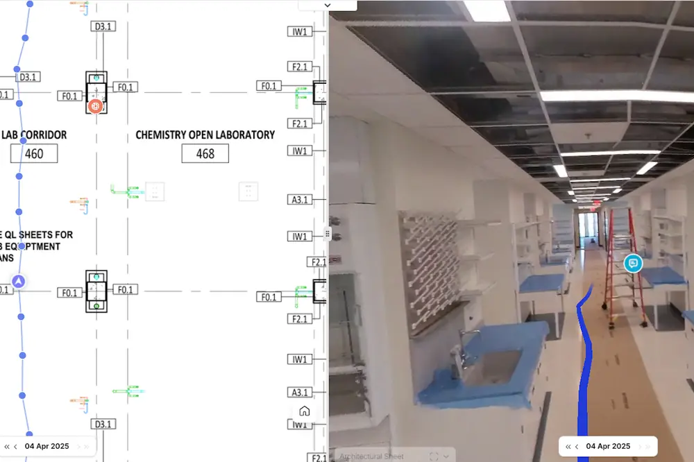
The distinction I keep coming back to is the one between a photo and a record. A photo is just an image somebody took. A record is an image you can actually find later because it is pinned to a place and time and can be held up against the plan or against the same spot a month earlier so it tells you something.
Most of the images taken on a job site never make that jump — which means a lot of potentially useful information never gets put to work. Turning images into records is not especially hard when you incorporate the following habits.
The entire value of a visual record is comparison: this week against last week, what got built against what was drawn, or the same location followed across the life of the job.

| Your local Iowa Mold Tooling Co Inc dealer |
|---|
| Nichols Fleet Equipment |
None of that works unless the capturing itself is consistent. You need the same cadence, same routes, roughly the same vantage points — whether that means a weekly drone flight over the earthworks or somebody walking the alignment every Friday afternoon.
The instinct is to reach for a phone only when something already looks wrong. But a folder full of problem photos will tell you about a run of bad moments and almost nothing about the slow drift that produced them. In reality, it is usually the dull, uneventful weekly capture that you end up leaning on when it counts the most.
An image you cannot find when you need it may as well not exist.
Every capture needs to carry its own location and time data, without relying on someone to remember to add it manually. On a building project, that might mean a floor and grid line; on linear civil work, a station or chainage. Those are the references crews already use to communicate where they are on the site.

| Your local Wirtgen America dealer |
|---|
| Beard Equipment Co - AL |
| Tractor & Equipment |
Automating that tagging is important. It turns finding the right frame later into a 10-second task, and it creates a record that still makes sense a year later, even after the people who captured the images have moved on to other projects.
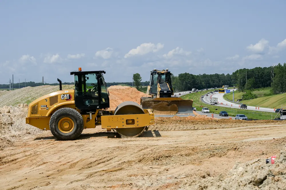
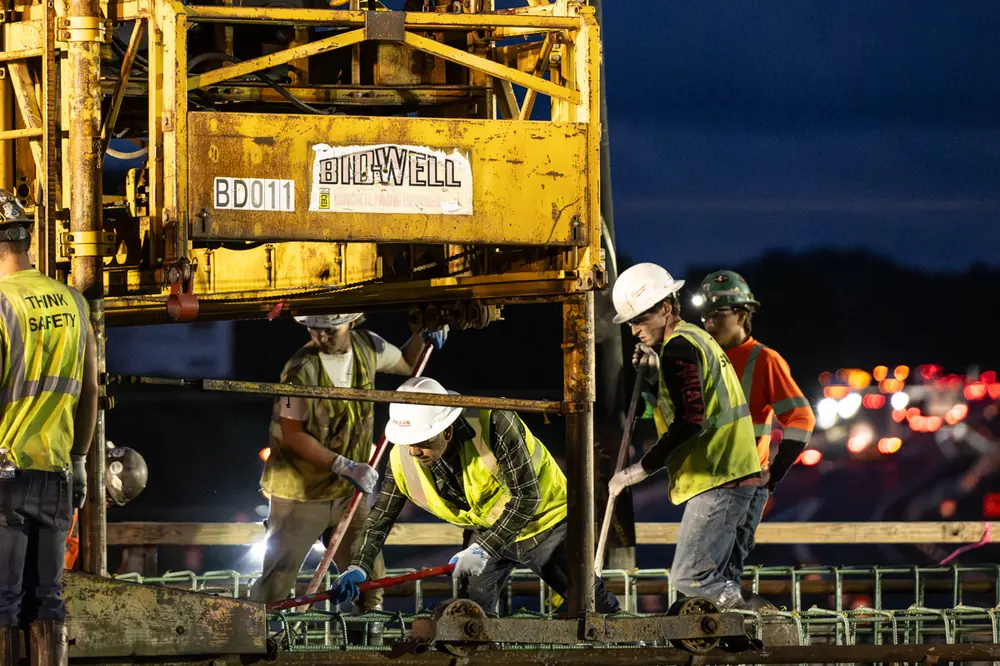
Construction projects are full of work that gets covered up and never seen again. That is exactly where a camera pays for itself: rebar and formwork before a pour, subgrade and compaction before the base goes down, pipe and utilities before a trench is backfilled, or waterproofing and membrane before they disappear from view.
Years later, those timestamped images can serve as a reliable as-built record of how the work was actually completed — and as evidence if a question about that work ever escalates into a costly claim. When memory and paperwork start to disagree, a clear picture of the work before it went under the ground has a way of ending the argument.
This step turns documentation into something closer to an early warning system.

| Your local Komatsu America Corp dealer |
|---|
| Linder Industrial Machinery |
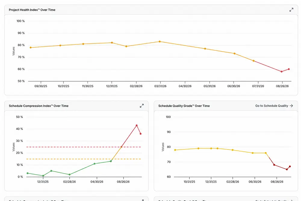
Once a capture is attached to the activity that is meant to be underway at that location, you can hold the plan and the ground up against one another. If the schedule is claiming an area is 80 percent complete while the imagery shows something nearer to half, you can catch the slip weeks before it reaches a milestone.
Left disconnected from the schedule, those same images are just a nicely dated history of how you fell behind.
The last habit is the one most often broken: Everyone has to be working from the same record.
On too many jobs, imagery ends up scattered. Some sit on the drone pilot’s drive, some on a superintendent’s phone, a handful are buried in an inspector’s inbox, and the rest live in a folder back at the office. No single source ever holds the complete picture.

| Your local Bobcat dealer |
|---|
| Pinnacle Central Co Inc |
When the owner, field teams, subcontractors, and inspectors all work from the same current set of images, the payoff goes well beyond settling arguments. Pay applications move faster because the proof is right there. RFIs get answered without a scavenger hunt. Handover stops being a last-minute scramble for photographs nobody can find.
Capture is becoming cheaper and more automatic. Cameras are everywhere. Drones can fly themselves. Software can increasingly understand what is actually in an image rather than simply filing it away.
That is precisely why the advantage is shifting. Capturing more will not set anyone apart; before long, everyone will be swimming in imagery. The contractors who come out ahead will be the ones who turn what they capture into records they can actually use — to prove what they built, get paid without a fight, and spot trouble while there is still time to do something about it.
Chaitanya Naredla Krishna (“NK”) is the Co-Founder and CEO of Track3D, a reality intelligence platform for construction teams.