
For excavation, trenching, and other underground construction work, knowing what’s below ground before crews start digging is essential to protect people and prevent damage. But the data captured during the locating process can do more than identify where crews need to dig carefully. It can also help crews plan and carry out the work ahead with fewer unknowns.
A well-executed locate gives contractors useful insight into the environment in which they’ll be working. They can learn what’s actually underground — not only utilities but also other structures and underground conditions. They can identify how congested the environment is, how deep infrastructure is located, and where it might interfere with their work.
Keeping people safe and preventing damage should always be the priority when identifying underground infrastructure and conditions. But safety and productivity don't have to be separate outcomes. What crews learn before digging can help reduce uncertainty and inform decisions throughout the job.
Existing underground records provide a useful starting point for any underground construction project. But contractors can’t assume these records provide a complete and accurate picture of what’s in the ground. Getting a clearer picture requires crews to combine available records with data collected in the field.
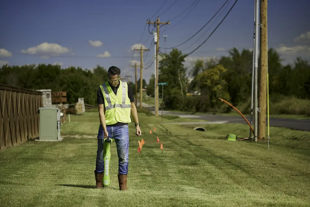
That starts with a locate technician walking a job site and visually observing it. This can help identify not only previous locate markers but also features such as fences that could create interference for locating equipment.

| Your local Wirtgen America dealer |
|---|
| Dobbs Equipment (DXC) |
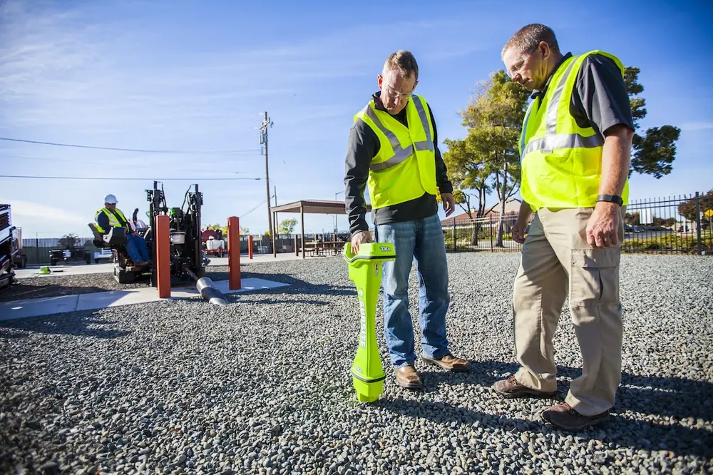
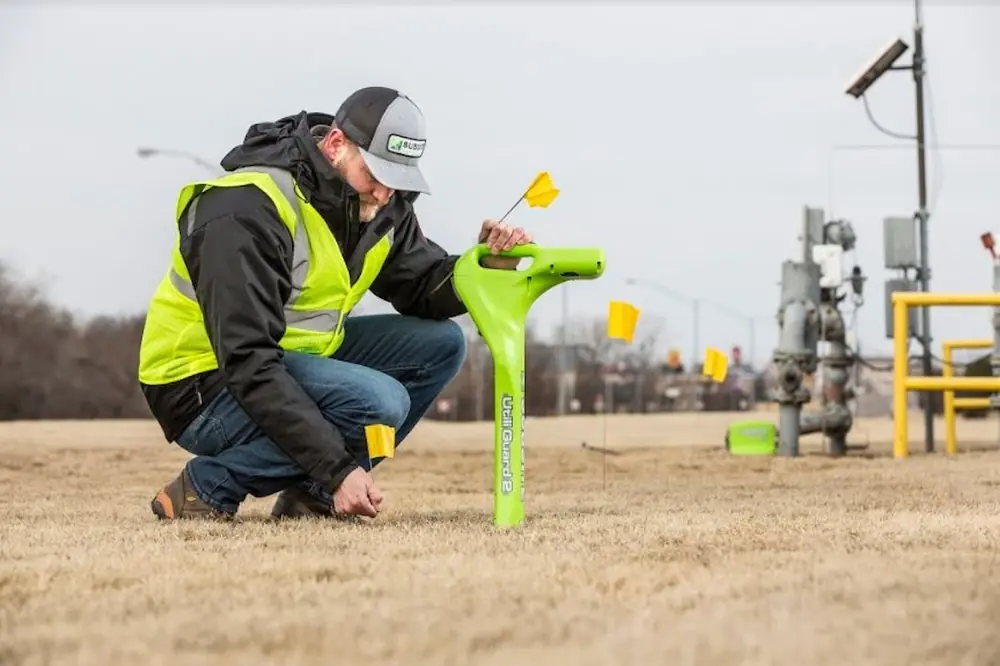
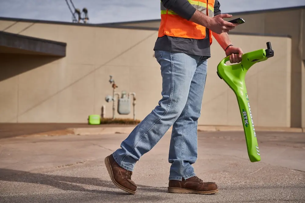
Today, utility locating equipment can integrate electromagnet detection with GPS and GIS. This allows crews to precisely capture the locations of underground utilities with up to centimeter-level accuracy.
At the same time, electromagnetic locating is primarily used to detect buried utilities. Complementary locating methods may be needed to locate non-metallic infrastructure and other obstacles.
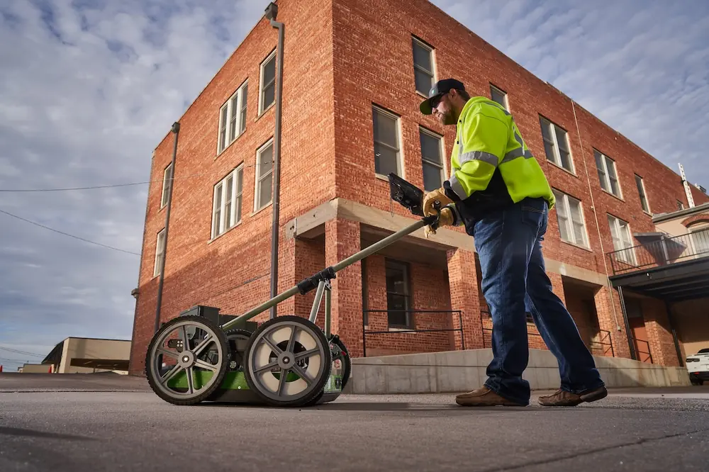
Ground-penetrating radar (GPR) can help fill this information gap. It can identify non-utility infrastructure such as concrete structures and underground storage tanks and conditions like voids and sinkholes, while also validating third-party locates.
Using these sources together can help fill gaps that may not be apparent from records or a single locating method alone. With more complete job site data in hand, crews can begin applying that understanding to the work ahead.

| Your local Gomaco dealer |
|---|
| Ring Power Corporation |
Once crews have a clearer understanding of what’s underground, the next step is putting it to use.
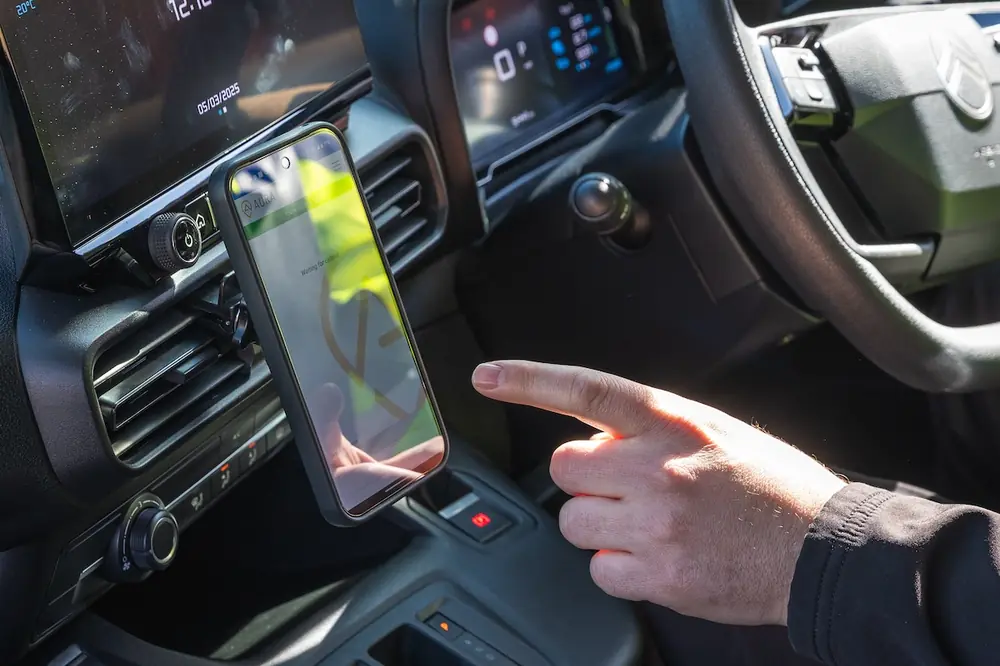
Modern locating equipment can digitally capture buried utilities and underground obstacles and pair their locations with GPS coordinates. Those findings can then be labeled and incorporated into detailed digital maps rather than just paint marks on the ground that risk being lost to time and the elements.
A digital record gives contractors a way to see how obstacles are distributed across the site and where additional verification may be needed.
Especially in today's more congested underground environments, productivity isn't just a matter of crews working faster. It's also about reducing the uncertainty that can force crews to stop, reassess, or change course once work is underway.

| Your local Iowa Mold Tooling Co Inc dealer |
|---|
| Nichols Fleet Equipment |
As part of preconstruction planning, project and field personnel can review locating and mapping data against the work plan and ask:
- Where is underground infrastructure particularly congested?
- What could affect the planned work?
- What remains incomplete or uncertain?
Areas with incomplete information may require additional investigation, and congested areas may require adjustments to the work plan. Working through those questions before mobilization gives crews an opportunity to address potential issues in the plan instead of encountering them for the first time in the field.
Locating information continues to have value even after dirt starts being moved. As the project progresses, the record can evolve as crews verify conditions and document additional details about the site.
Project managers, field supervisors, and crews may all need visibility into underground conditions at different stages. Before work begins, contractors should determine where locating data will be stored, who needs access to it, and how any new findings will be added during the project. Doing that up front can help keep field and office teams working on the same page throughout the project.

| Your local Wirtgen America dealer |
|---|
| Beard Equipment Co - AL |
| Tractor & Equipment |
Contractors should also determine how any new details uncovered during construction will be captured. Underground conditions that are verified during excavation or other work can build on the initial locate and create a more complete and accurate record of the site.
Locating will always be essential for protecting people, equipment, and infrastructure. But viewing it only as the step crews complete before digging can leave some of its value on the table.
What crews learn during a locate can help contractors understand the job site, strengthen the work plan, and give project teams better visibility as conditions change in the field. None of those benefits replace locating’s fundamental role in damage prevention. They build on it.
That value can extend beyond the current project, too. Preserving what crews learn can give contractors and other project stakeholders a useful starting point if they return to the area for future work. Instead of starting from scratch, they can build on what was already gathered and verified in the field.

| Your local Topcon Positioning Systems Inc dealer |
|---|
| Linder Industrial Machinery |
For contractors working in increasingly congested environments, that makes locating more than a prerequisite for starting work. When that knowledge follows the project and is preserved beyond it, locating can become another tool for reducing unknowns today while giving future crews more to build from.
Dylan Daugherty is the Utility Locating and Inspection Product Manager at Subsite.