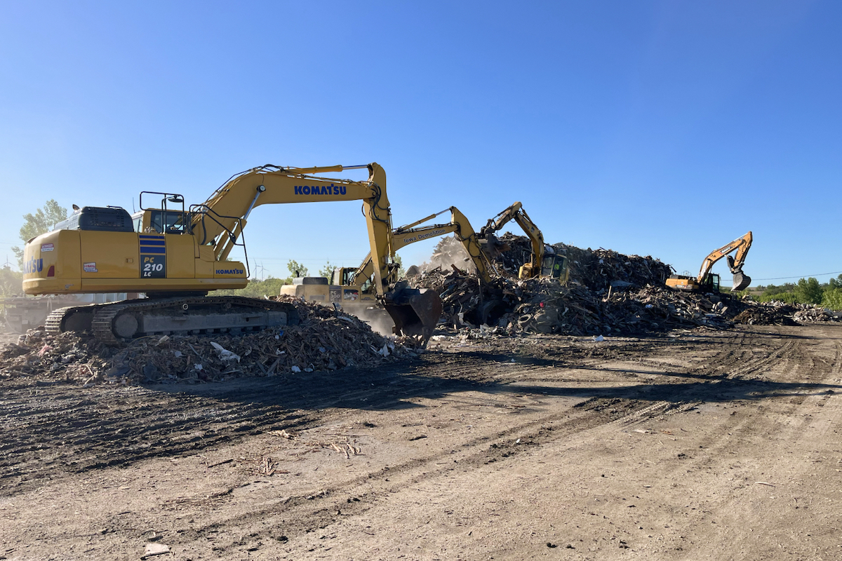
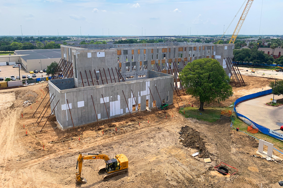
Las Vegas-based Morley Grading was tasked with removing 14,000 cubic yards of material as part of a large warehouse construction project. Specifically, this family owned earthworks contractor was tasked to move, quantify, and crush all of the stockpiled material – and then make sure all of that material was allocated appropriately to other projects in the region. The family owned contractor specializes in commercial projects such as this.
Stephan Camden, Co-Owner and General Superintendent at Morley Grading, said, “Export projects have long been a challenge for many in the industry because of the need to efficiently shift those materials offsite. A lot of people shy away from it because of the material management aspects. But we are quite comfortable with these jobs because I trust my technology enabled workflow.”
It's an all-GNSS methodology that includes a rover, field software, and 3D machine control that continues to evolve and improve the way Morley Grading completes earthworks projects, to the benefit of its customers and its bottom line.
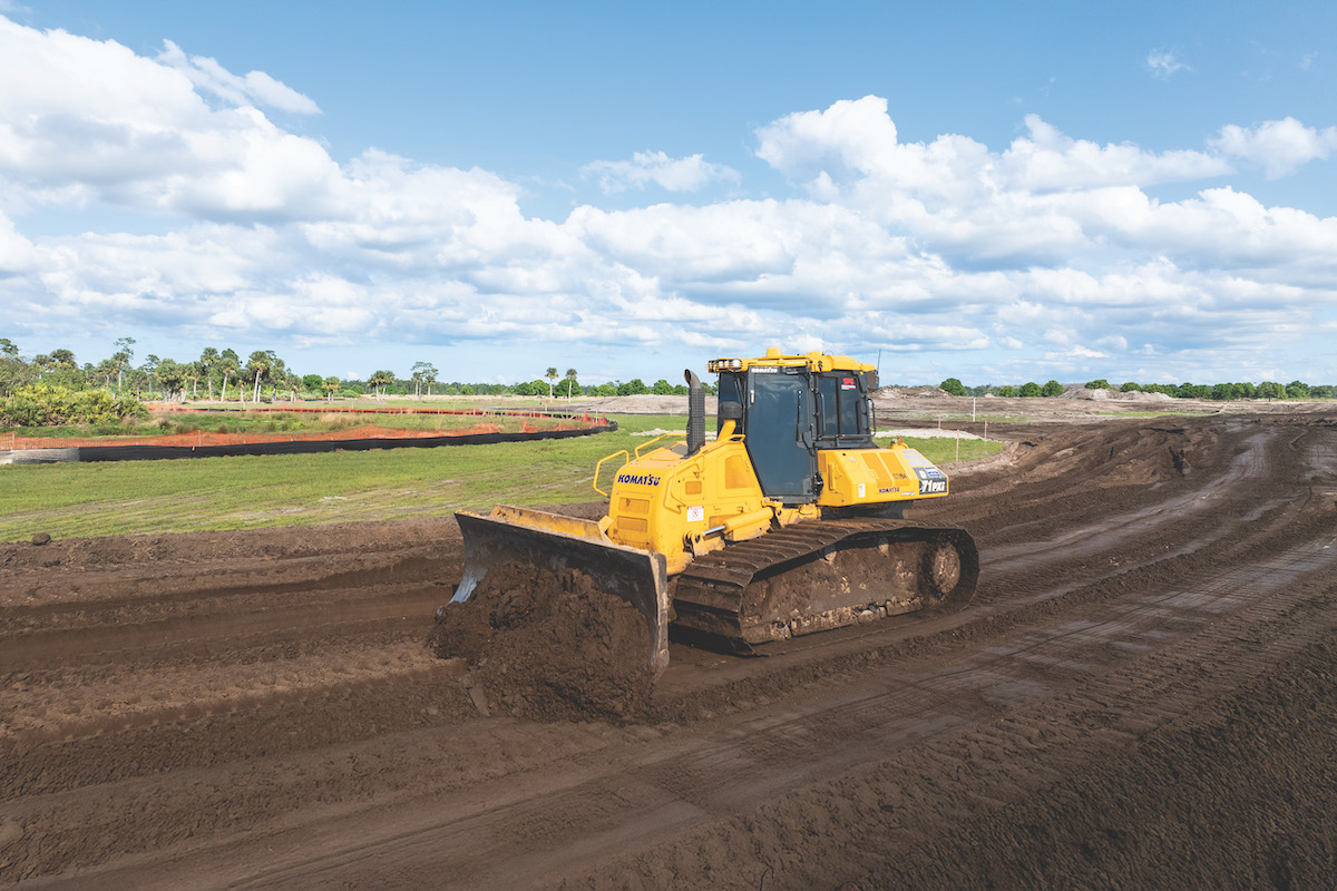
Next, using a D6 dozer equipped with Trimble Earthworks, the Morley Grading crew completed the material movement to the specified subgrade, all the while tracking the quantity of material moved. Once it was stockpiled, Camden brought the rover out again to measure the stockpile in preparation for crushing. When crushing was complete, he used the data collector to measure the crushed material so that he could verify the crusher charges to his known material quantities. As crushed material was removed for use on other jobs, Camden would topo the stockpile again to manage existing quantities – and to ensure that every job received the quantities specified.

| Your local Topcon Positioning Systems Inc dealer |
|---|
| Star Equipment LTD |
“Thanks to my easy-to-use system, I nailed the total quantity of dirt removed to within 200 tons of my original takeoff estimates. That’s within 3 percent,” Camden added. “Without GNSS on the equipment and in my hands, this job would have been a shot in the dark, or at best a rough estimate.”
He would have had to set up a laser system to measure length, width and depth – a time intensive effort. “My old methods required a day for every measurement,” he said. “With the new workflow, I’m done in 20 minutes. Our ability to track material quantities not only in the dozer, but within the data collector, and quantify over and over to match the initial subgrade design – all in the field – is so important to our successful completion of a job.”
Camden said, “It’s a lot of material that has to be cut at a specified depth with the right horizontal control – in this case to within 1/10 of an inch. To be profitable, we have to make sure we’re exporting the right amount. If we try to go old school with staking and lasers, we have no assured accuracy. Technology is the only way.”
For this project, Morley Grading Finish Superintendent Steve Avena got his first chance to site calibrate the jobsite with the Trimble equipment, deriving the local geodetic coordinates for Northing, Easting, and elevation. In the meantime, Camden dropped the 3D model prepared by Digital Modeling Services onto a thumb drive for import into Trimble Earthworks.
“The nice thing about this workflow is that if we see a difference between the model and existing conditions, I simply send Stephanie the Northing, Easting and elevation data. She corrects it in the CAD file and resends within a few minutes,” he explained. “It’s pretty awesome how fast we can do things with the right team and the right technology. These days my biggest challenge is setting up the job. But once control is set, it’s smooth sailing and I stay locked on all day.”
That’s not the case anymore. He continued, “With our methods, I’m not afraid to bid on any project, no matter the complexity.”
The new process is also helping the company build stronger relationships with owners and general contractors. “We’re winning more work because general contractors are seeing the accuracy and speed of our finished products,” Camden added. “They especially like the finished 3D model that I provide when we complete earthworks activities. In fact, they’re using our models to show other trades what a site should look like after other activities, such as new footers or other underground work, have been completed. It eliminates any conflicts about whether we performed our work per specifications.”
He’s also continued to find new ways to use the technology. “I think the coolest thing about our combination of equipment is that once we learned the basics, we started to think of ways to use it that we never considered. I’m starting to dive even deeper,” Camden said.
He’s also looking into more investment, evaluating the purchase of another rover and base station as well as cloud-based applications that will further connect 3D field data in real-time.
That ability to dive deeper is in large part due to Camden’s relationship with the SITECH Southwest Trimble dealer. “I’ve run every GNSS system out there from multiple manufacturers, and too often, people forget the importance of service. As technology becomes more advanced, that relationship is even more essential to ensuring our workflow is smooth. In my opinion, the Trimble community is hands down the best. I talk with them at least once a week and every time I call, they answer. They are a large part of why we’re continuing to expand and profit.”


