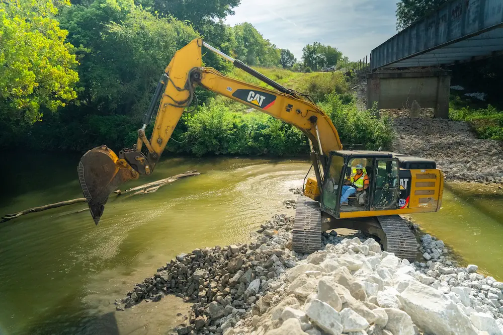
From dredging navigable waterways to deconstructing underwater structures, working in conditions with limited or no visibility has long been one of construction’s most complex and costly tasks. Add in the potential for strong currents, murky waters, human risk, and the need for precision, and the tasks become that much more challenging.
Technology has greatly improved productivity, accuracy, and safety in these difficult conditions, helping operators avoid potential hazards and obstructions, minimizing environmental disruption, and preventing downtime.
In essence, these tools, techniques, and workflows are helping project teams “see” under the sea in real-time, driving better outcomes.
Technology advancements for dredging and underwater construction (or deconstruction) have largely focused on improving visibility. In today’s environment, that means a blend of sonars, sensors, and visualization tools all facilitated by computing power.
The biggest advances in recent years have been the use of sonar to augment dredge guidance and marine construction solutions. For years, sonar has been an essential piece of seabed and underwater surveys. When combined with a dredge guidance system, it also provides a real-time way to validate and verify machine activities, such as removing or replacing material.
The tighter integration with real-time sonar systems allows updated seabed data to be incorporated in 3D visualizations for greater situational awareness by equipment operators. The data in the cab is continuously updating to changing conditions as debris is removed while tracking the precise position and heading of dredging/construction equipment operating underwater. An added benefit is that project teams no longer need a diver to verify underwater conditions, greatly improving job site safety and productivity.
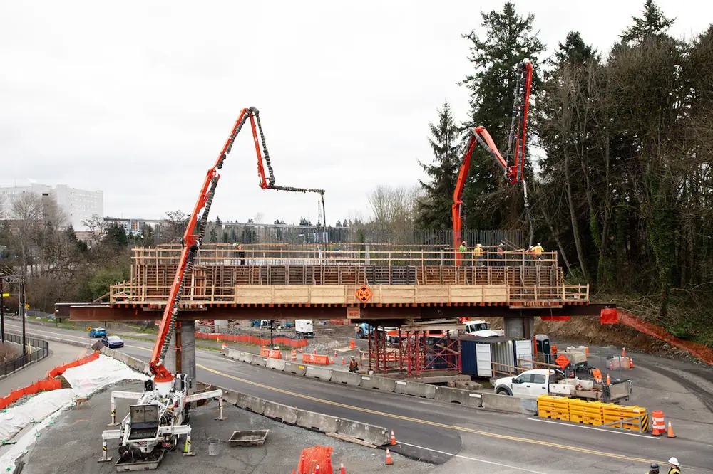
One of the first examples of a combined sonar and dredge guidance system was a bridge deconstruction project in 2019, considered a benchmark at the time because it was one of the early adopters of advanced technologies for underwater infrastructure work. The challenge was to “break” the old bridge’s submerged concrete structures into rubble, which could then be safely removed from the river bottom.
The contractors on this project were among the first to utilize real-time sonar technology. They were also one of the first applications of real-time machine guidance for on-water cranes, excavators, and jackhammers, with sonar verification.
At the time, crews deployed Trimble Marine Construction dredge and marine guidance software with a high-resolution multibeam echosounder on the heavy equipment. Surface data was provided to the various machine types for guidance, while the software was used to monitor and visualize the deconstruction progress of submerged structures and bridge components.
As deconstruction progressed to the removal phase, the survey vessel continually collected data and updated the existing 3D surface model, which was transferred in near real-time to the machine fleet to provide operators with updated views. The sonar/GNSS-enabled solution showed elevation, location, depth, bucket position, and a real-time 3D view of debris with precise accuracy.
The project served as an important proof-of-concept for how integrated positioning and visualization tools could revolutionize complex underwater demolition and debris removal jobs.
While projects like that were cutting-edge a few years ago, real-time sonar integration and digital boundary systems are now becoming more mainstream, as evidenced in Oregon.
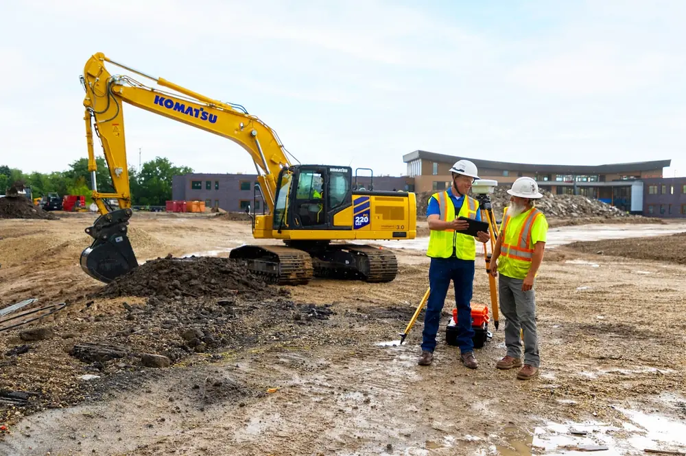
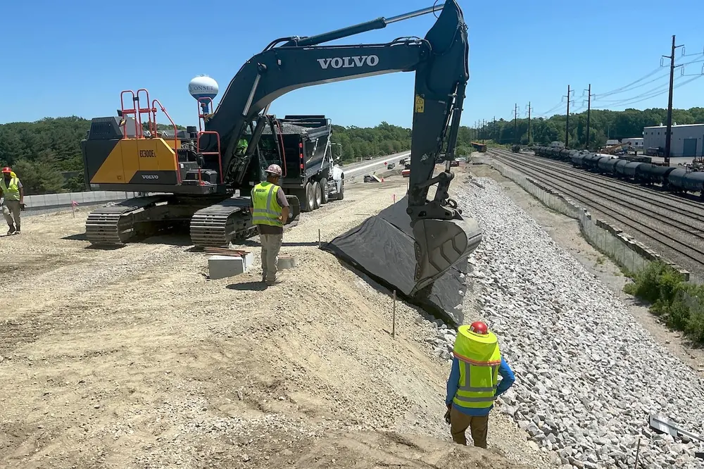
Heavy civil and marine construction specialists Advanced American Construction (AAC) put the improved GNSS/sonar technology to work at the Port of Kalama in Oregon. The goal of the project was to dredge the marina, place support piles, and construct a dock.
The team equipped an excavator with the dredge guidance software integrated to a single beam echo sounder to acquire pre- and post-dredge survey data. The team also set up a Trimble universal total station on the beach to support positioning.
With setup complete, the dredge operator was able to track the bucket location in real-time, in 3D. At all times, the operator had a visual map of what had been completed and what still needed to be done. Going a step further, AAC could import the survey data into its dredge design software to create target dredge surface/depths.
The operator could then see both the existing seabed data and target dredge design in their machine display. When incorporated on backhoe excavators, wire cranes, bucket dredgers, underwater plows and cutter suction dredgers, 3D visualization systems provided real-time views of the dredge head or excavator bucket. With the system, the operator could also see the actual versus designed surface in 3D, profile, and long-section views. The GNSS-enabled system provided precise position and heading of the machine and guided the operator to the desired surface, subsequently determining the cut or fill. Real-time sonar integration enhanced situational awareness by providing updated data as debris removal or dredging tasks were completed.
Evan Clemson, the Vice President of Operations at AAC estimated the team saved 15 to 20 percent on the dredging phase of the project by having real-time underwater data versus old school methods of measuring and re-digging, revisiting incomplete areas, or overdredging in certain areas.
“That’s probably a six figure cost savings on a project this size,” he said.
Technology for underwater infrastructure work continues to rapidly progress. Advancements like real-time sonar integration and developing digital boundary systems now provide operators with stronger real-time situational awareness of the underwater environment.
These technologies enhance safety by automatically alerting equipment to potential hazards.
Looking ahead, the industry will continue to see improvements in data precision, visualization capabilities, and tighter integration between positioning hardware and software, which will further improve productivity and job site safety. Artificial intelligence will also become part of the process, helping to optimize project planning, risk assessment, and potentially automate certain workflows.
More widespread adoption of these integrated solutions will also help bring costs down. Technologies that were previously considered cutting-edge, such as real-time sonar integration with machine guidance, are fast becoming mainstream in the industry. Although individual project needs vary, solutions combining hydrographic surveying, dredge guidance systems, and coordinated equipment operations will continue delivering unprecedented visibility — even in the murkiest of waters.