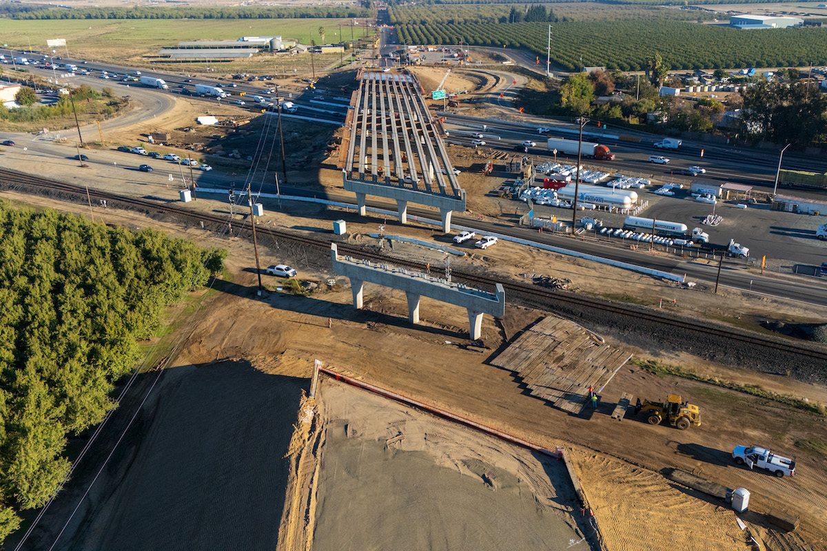
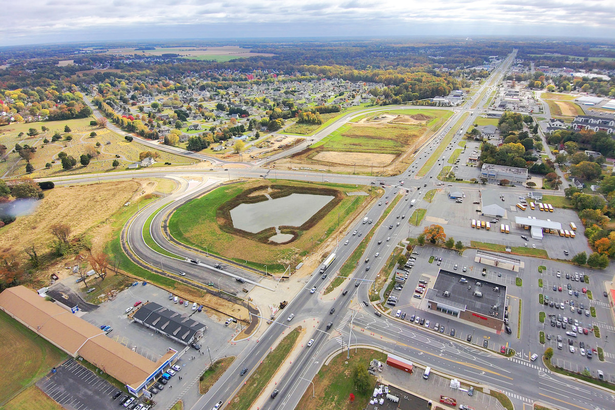
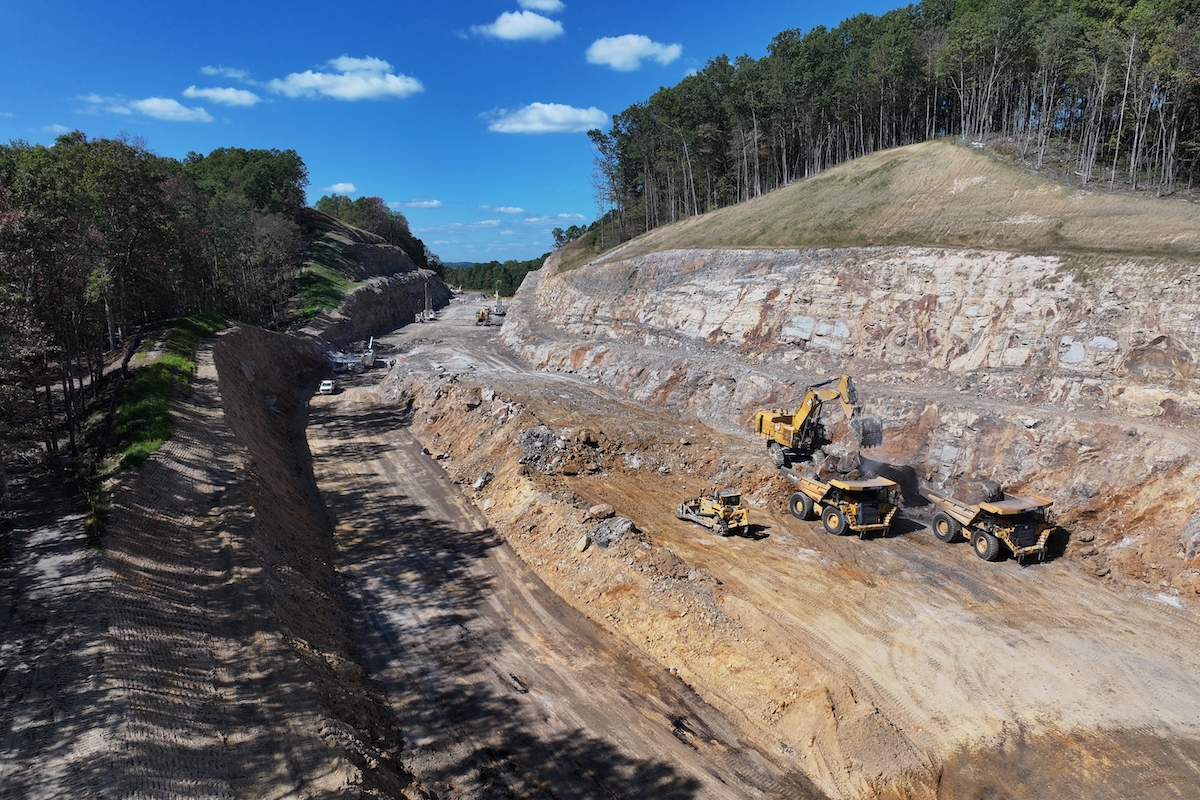
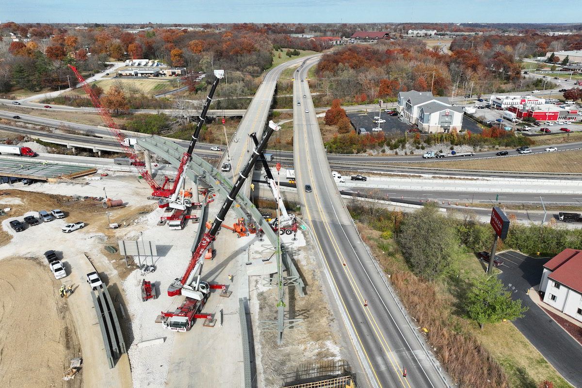
If you’ve driven through the heart of any American city, you’ve likely encountered a recessed highway—a roadway designed below the surface level of surrounding streets. Recessed highways are often bordered by retaining walls or embankments and were introduced as a way to manage high-speed traffic while reducing conflicts with local roads. This design allows for uninterrupted vehicular flow through urban centers and is a common feature of mid-20th-century infrastructure planning. But what if we capped these highways, creating more land for development?
That is exactly what the Rethink Coalition in Indianapolis is proposing for downtown land currently occupied by the loop of interstates 65 and 70. While many of these segments are currently at-grade or elevated, Rethink suggests if the Indiana Department of Transportation (INDOT) is already going to spend billions on future upgrades as projected along these segments, they might as well recess the highways, cap them, and gain additional land for development. A bold ask! But Rethink argues that a recessed interstate can essentially pay for itself, freeing up land for “value capture” —re-connecting communities and encouraging development, which could more than make up for the additional construction cost. This makes sense given the hindsight of hundreds of millions spent on the recent reconstruction of the North Split which did not produce additional real estate for development.
The results of an independent Visionary Study the Rethink Coalition conducted and released in 2021 underscore the massive potential of redevelopment, with recessing and capping the highways opening up 45 acres of land, of which 19-23 acres could be strategically capped. This could create up to 3,300 additional housing units and 24,000 jobs.
But do highway caps work? And would this additional land actually pay for itself? And are caps a good idea – shouldn’t we just get rid of highways altogether, as some planners suggest? Let’s dive in.
In short, no one has done it on quite the scale of Indianapolis.
Perhaps the most famous example of capping is Boston. The Big Dig, which includes the Rose Kennedy Greenway, represents a larger-scale study. Completed in 2007 after decades of construction and a $24 billion investment, the project replaced an elevated expressway with an underground tunnel, freeing up 1.5 miles of land for development and public use. Strategically, the Big Dig helped connect amenities and existing destinations like Faneuil Hall, Boston City Hall, and the waterfront aquarium and wharfs. The greenway connection has revitalized surrounding neighborhoods, but the project’s immense costs and delays serve as a cautionary tale. It underscores the necessity of careful planning, cost management, and robust public engagement to achieve desired outcomes without excessive financial burden. The Big Dig contributed to the construction of 7,700 new housing units, including 1,000 affordable units, 2,600 hotel rooms, as well as 10 million square feet of office and retail space. This is estimated to be a total attraction of over $7 billion in private investment, a paltry sum compared to total construction cost. In 2020, Rethink’s Visionary Study estimated a total cost of $2.8 billion to cap the south segment – surely this number has grown exponentially since post-pandemic fees. Would value-capture of land, with integrated development plans offer more than that sum in value?
In Dallas, Klyde Warren Park, constructed over Woodall Rodgers Freeway, transformed a 5-acre tract into a vibrant green space connecting Uptown and Downtown. Opened in 2012 at a cost of $110 million, the park has driven over $1 billion in adjacent real estate development, showcasing the potential of caps to spur economic growth and urban revitalization. However, ongoing maintenance and programming costs highlight the importance of sustainable funding mechanisms to ensure long-term success. While this project demonstrates how highway caps can attract investment while addressing the urban divide created by freeways, Klyde Warren is the best-case scenario for capping – with a caveat. Its prime location between several museums, and M-Line Trolley streetcar along McKinley Avenue – the main street of the popular Uptown district – helped its huge return on investment. These are key lessons for Indy – it is not simply opening up land and assuming it will develop. The development necessary to help the capping “pay for itself” needs to create land that is near amenities and destinations, with implementable phasing and master development feasibility conducted.
A more parochial example can be found in Columbus, Ohio, where the caps over Interstate 670 near the Short North Arts District provide a smaller-scale yet impactful illustration, comparable in approach to some of the case studies highlighted in Rethink’s study. Completed in 2004 for $7.8 million (~$13 million adjusted for inflation), the caps reconnected a historic neighborhood to downtown, sparking a surge in property values and commercial activity. While economic development was encouraged, it’s hard to gauge how much the development was truly impacted by the cap itself, as the area around the Short North was actively taking off. It is also important to note the location of the cap between the popular Goodale Park, the Columbus Convention Center, and Ohio State University to the north along High Street. Like Dallas, this cap was strategically placed and that location helped facilitate development. The 670 cap filled a literal gap in development that the market was able to fill. This hammers home a lesson for Indy: small-scale strategic capping could prove successful if the location of the lids triangulates popular destinations or amenities.
These examples suggest that highway caps can potentially pay for themselves if paired with a leveraged area that encourages high-value redevelopment. The Rethink Coalition must weigh these benefits against costs, considering whether increased property taxes, economic activity, and enhanced public space justify the initial investment. But again, none of these is quite on the scale proposed by Rethink, which makes it hard to gauge. Putting a lid on freeways makes sense, but like most real estate proposals, the question comes down to location, location, location.
Highway caps are a divisive issue among urban planners. Critics contend that highway caps are merely a form of greenwashing, effectively concealing the problems caused by highways without addressing their root causes. Critics also contend the cost of capping highways is too high to justify additional construction. On the other hand, supporters argue that the political will to remove highways is not always present, and caps have the potential to restore connectivity and create new urban spaces and create higher and better land uses.
It is possible to hold opposing viewpoints in focus at once. As is the case with many contemporary arguments that allow bifurcation into this vs that, tit vs tat, the underlaying logic of the highway cap argument is assuming dendritic outcomes of earlier, root premises. Those root premises are highways are either a.) good or b.) bad and caps have a.) negligible or b.) ample benefit. Thus, the argument is two-fold: first, debating the merits of highways in the first place and secondly, debating the benefits of caps at all. This logic tree then presents four ideas:
Idea 1: Highways are good, and caps have negligible benefits. I believe most people would fall into this model, mostly because of the rose-colored lenses of societal car-brain and probably a lack of knowledge of what highway caps are or could be. This position, then, isn’t entirely irrational.
Idea 2: Highways are good, and caps have ample benefits. I will take this position. More on that in a bit.
Idea 3: Highways are bad, and caps have negligible benefits. I picture many on the green left would take this position with their view of car infrastructure seen through a more critical lens and the “greenwashing” of caps not doing enough to ameliorate those concerns. Letting perfect being enemy of good, etc. This doesn’t seem a productive starting point considering the vast majority of Americans view cars as transportation and correlate them with autonomy and freedom.
Idea 4: Highways are bad, and caps have ample benefits. I suspect many urbanists would fall into this category and it makes sense from their lens. Much of what created the walkable, dense, frenetic clustering effects of great cities was dependent on modes of transportation invented before the car and the motto “cars are bad” is ingrained into the zeitgeist of urban plannerspeak promulgated on TikTok.
However, I have a couple of issues with this line of thinking. Despite what you may assume my a priori premises are as an urban planner, I don’t think it’s wise to fall into the trap of the highways = bad, caps = ample benefits paradigm. Firstly, it’s hard to discredit any mode of mobility entirely as a bad thing. Yes, cars have plenty of negative externalities including environmental pollution, harms to public safety, and traffic congestion and I won’t discount any of those. But cars also provide the ability for people to move quickly between home, work, and their daily errands. To that end, urban freeways aren’t necessarily bad. This is because mobility is not intrinsically bad. Cars offer autonomy and direct-to-destination convenience that, outside of a few select metros, is extremely challenging for transit systems to match. On top of that, over 90% of Americans own at least one vehicle and rely on car infrastructure to get around. Since the transition of urbanization toward autocentric-land use patterns as societies get wealthier, we’ve also made it terribly difficult to get around without one. They’re not going anywhere. So, I don’t think it’s wise to fully support the line of thinking that says we need to not only cap highways but also entirely eliminate them. So, now what?
In this case, it’s clear to see the benefits of removing or reducing highways (see: less pollution, environmental justice, undoing of inequitable legacies) just as easily it is to see the widespread benefits of keeping them (logistics, trade, mobility). In this vein, it is also easy to see because they both make sense. So, let me ask: why have an either/or conversation rather than a yes/and?
Which leads to my larger point – highways are probably good, and caps can have ample benefits – a yes/and proposition. Which is why the Rethink Coalition is standing on good footing, at least logically. Rethink is not calling for the removal of highways (a politically unsavvy move), but rather, the rethinking of their real estate for the highest and best use as well as transportation. This is a far better argument.
Despite their moment in vogue, in essence, the idea of recessing and capping highways are not a novel concept when it’s pared down. This idea is just another in a line of exchanges that have been made throughout the history of cities when land in central cities becomes both more in demand and simultaneously scarcer. We exchange capital for land. Let me explain.
First, let’s accept that for most U.S. cities, urban highways take up land in and near central business districts that would otherwise be extremely valuable. Let’s also agree that land is a finite resource and greater proximity to firms and people creates greater value for land. As land becomes more in demand and expensive, the cost of acquisition and development becomes prohibitive for all but higher-intensity uses that can offset these costs. Let’s take the extreme example of Midtown Manhattan, for example, where land prices exceed $1,350 per square foot. This extraordinary cost drives the construction of high-rises, as developers and owners maximize the land’s value by building upward, increasing floor space and potential profit. Despite the high hard costs of high-rise construction, it still makes more sense to build up to maximize the land value. In theory. So, by exchanging capital (money to build up), we can offset the scarcity of finite land. Central cities have been doing this for decades.
We’ve already had a long history of caps, albeit in different forms as urbanization trends have shifted. Before any planners discussed capping freeways, there is a long history of instead capping railyards, the previously dominant form of transportation before cars. A prime example is the MetLife Building, originally known as the Pan Am Building, located at 200 Park Avenue in New York City. It was constructed above the tracks leading into Grand Central Terminal. Opened in 1963, this iconic structure was designed to integrate with the rail infrastructure below, making it a prominent example of air rights development nationwide. Another great example is the capping of the lakeside Metra railyards in Chicago which eventually became Millennium Park. An exchange of capital created more land.
If we are going to (probably appropriately) accept the premise and model of cars as a dominant form of transportation going forward as well as accept the premise that urban land will continue to increase in demand, especially in and near CBDs, then an obvious exchange of capital for extraneous land certainly should be on the table. Because many urban highways take up land in or near the most in-demand real estate in their respective places, it makes the idea of capping or building over the freeway more appropriate. Highway caps are merely another example of exchanging capital for land when market conditions support higher and better use but having those uses remain dependent on macro-mobility systems to remain for said demand.
If we agree that highways are good (which mobility = good, remember), then highway caps are a have your cake and eat it too proposition. We can create additional land for development that can capture additional property tax revenue for a municipality while maintaining logistical transportation access to the central business district. This maintains the macro scale of movement, as interstate traffic is necessary for logistics and commuting from metro to metro. And because recessing the highway and capping it allows a continuous ground plane between what was previously two disparate sides of a highway, the caps permit more connectivity, walkability, and cohesiveness between neighborhoods on the meso- and micro scales of movement. This increases intracity mobility. And it becomes easier for residents previously cut off from a central downtown to access its resources, creative capital, and labor pool. This is a net positive for creating more mobility from both accessibility and economic lenses. This is a good thing. Capping recessed highways are having your cake (maintaining macro movement) and eating it too (increasingly mobility on micro scale).
This should make sense economically. But that sense assumes that the price of capping the highways (capital) is at least met or surpassed by the economic benefits of extraneous property tax revenue and latent demand for the creation of new land. Highway caps are not cheap by any means – and it would be foolish to spend the exorbitant sums of capital to build them if the land produced would not be developed. Thus, cities and DOTs must make coherent fiscal decisions backed by feasibility studies to ascertain the merit. Like all infrastructure, these should be economic decisions, not simply highways = bad or good discussions. Additionally, any new development feasibility should be calculated and benefits assessed.
The numbers Rethink has released seem to suggest that the benefits far outweigh the cost to cap. And that makes sense to me if we assume that the high-value land near downtown Indy will continue to rise in value, which I do. But we must be mindful that construction figures remain inflated post-pandemic. However, while a high upfront fee now to cap and recess may be exorbitant, the long-term value-capture could exceed that capital cost – if caps are positioned in places to succeed. Surely, updated feasibility numbers will arise out of the current South Split study being conducted by Rethink, funded in part by a $2 million competitive USDOT grant. We should look closely at these figures and check them against potential value capture. It is within these figures that wins the argument for or against a cap.
As the discussion around urban highways evolves, the vision for capping recessed highways offers an intriguing compromise—one that respects the role of highways in enabling mobility while reclaiming urban space for community and economic growth. In Indianapolis, the Rethink Coalition’s advocacy highlights a pivotal moment: if billions are already slated for investment in highway infrastructure, why not allocate a fraction more to ensure these projects yield transformative, lasting benefits? But that optimistic vision should not lose sight of pragmatic, realistic concerns of capital cost and land development feasibility. It’s okay to dream, but understanding that dreams backed in dollars get built.
Highway caps may not solve every problem urban highways create, but they offer a pragmatic path forward. They allow us to reconcile mobility with urban vitality, connectivity with economic opportunity, and infrastructure with equity. In the end, the question isn’t whether highway caps are perfect, it’s whether they represent better value for our cities. If strong demand for land continues to exists in and near central business districts, the answer is certainly yes. If this all sounds overly idealistic, consider this: highways were themselves idealistic once. They were built on the promise of a better life, faster commutes, and boundless economic opportunity. But idealism cuts both ways. If we were bold enough to build highways, why can’t we be bold enough to rethink them?


