“We can get it done faster and at a savings to the taxpayer as well,” said Terry Williams, USACE Fargo-Moorhead Program Manager. “Our goal is to have an operable project by spring of 2027.”
The USACE conducted a feasibility study starting in 2008 to learn how best to protect residents from the Red River’s frequent overtopping of its banks. Constructing the project with a traditional design-bid-build delivery method could have taken 20 years to complete. That is not acceptable given the frequency of flooding in the area, Williams said.
The Corps of Engineers and its nonfederal sponsors developed a plan, which included a 30-mile-long, north-south diversion channel in North Dakota with upstream staging of floodwaters in a dry dam behind an earthen embankment. Then for the first time, USACE creatively partnered with nonfederal sponsors, which would build the diversion channel as a public-private partnership, while the USACE built the gated control structures and earthen embankments and raised the interstate.
“Split it up, [and] it’s done simultaneously,” Williams said. “Our goal is to get it done as fast as possible.”

| Your local Hyundai dealer |
|---|
| Equipment East |
The project will protect multiple communities. Besides Fargo, North Dakota, and Moorhead, Minnesota, it will stop flooding in Harwood, Horace, and West Fargo, all in North Dakota. Both states are financially supporting the project.
“Every community that has benefited by this project is committing something whether it is funding, land for construction, expertise, or other forms of support,” Williams said.
This project brings together a variety of methods to provide flood protection.
“We are using every tool in providing flood protection for the communities,” Williams said. “Something this important and this complex requires a team of people who are dedicated, professional, and — frankly — brilliant.”
“We knew, as a community, we had to do something to get levees and floodwalls built as quickly as possible,” said Nathan Boerboom, Assistant City Engineer for Fargo. “The Corps also kicked off its feasibility study for the overall diversion project. … But we could not wait.”
Fargo started acquiring homes to make way for 28 miles of levees and floodwalls, so it could safeguard its citizens. The city worked closely with Moorhead to ensure levees were built to similar elevations on each side of the river.
“Each community will have the same level of protection,” Boerboom said.
Dubbed the Local Entity Flood Protection & Associated Infrastructure project, cities began constructing levees and floodwalls, stormwater lift stations, road improvements, and grade raises. That work continues today.
The construction required demolishing some structures and then bringing in fat clay soils, available locally, to build the levees up to 15 feet in height. Yet in areas with weaker soil stability, the city constructed steel-reinforced concrete floodwalls, with deep foundations.
“What you see is a vertical wall coming out of the ground,” Boerboom said.
The spread footings are 20 feet to 30 feet wide, depending on the height of the floodwall. The footings start 5 feet below the adjacent ground elevations to ensure they are below frost levels.
Because of the flat topography, the cities also installed stormwater lift stations, with gates that can be closed so the river cannot enter the municipalities’ stormwater systems. While the rivers are flooding, the cities pump any stormwater runoff from within the cities back into the river. Fargo operates 80 of the lift stations. The counties raised rural roads by 1 to 2 feet.
The city levees work with and complement the new long-term features.
“All of the entities have been working fantastically together,” Boerboom said. “It’s been a unique, challenging, fun project.”
People lived on the acreage upstream, and some structures were removed. But farming can continue behind the dry dam as it only operates to store water during times of major flooding, with the major flooding only having a 5 percent chance of occurring each year. The diversion channel and Southern Embankment meet at the southern end of the diversion channel.
To learn how water would move through the structures and the capacity, the team constructed a 40-foot to 1-foot scale, high-density foam (similar to strong Styrofoam block) model at the U.S. Army Engineer Research and Development Center (ERDC) in Vicksburg, Mississippi. It was the first time that foam blocks had been used in a model. The blocks were 4 feet wide by 8 feet long, carved to match the topography at the Red River site and glued into place. The gates moved. Then the engineers ran water over the model and learned how it would move through the area.
“Every physical model that ERDC is using moving forward is now using this approach,” said Kevin Denn, USACE Fargo-Moorhead Project Manager. “They are estimating a cost and time savings of upwards of 50 percent. It was fun for us to be involved in this.”
USACE split the Southern Embankment construction into 14 different contracts and awarded eight, including three separate contracts for the three structures. However, all of the structure contracts were awarded to Ames Construction of Burnsville, Minnesota. USACE has four contracts scheduled to award later this year and two in 2025-2026.
“We have a lot of concurrent work going on with the project,” Denn said.
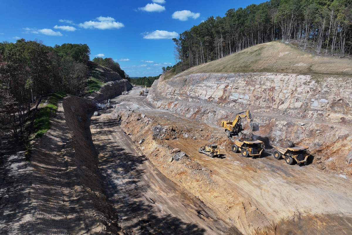
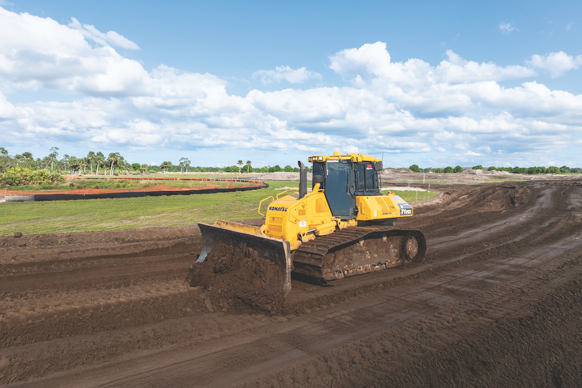
The project includes a significant amount of earthwork.
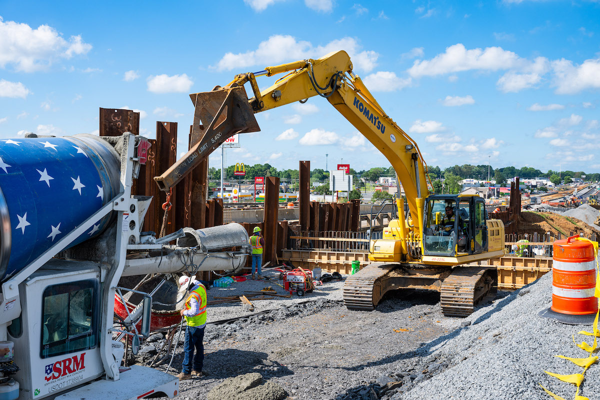
The first contract, let in 2016, was for the diversion channel gate-control structure, which has been completed. Construction of the three structures were similar. Ames began by using material excavated from the diversion channel to build the earthen dam. Crews installed thousands of wick drains in the soil under the two embankments to facilitate soil consolidation and reduce settlement. Then they built the two embankments on either side of the structure.
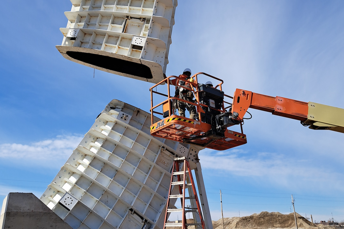
Ames then poured the concrete foundations for the curved Tainter gates, which open and close to control water flow. The company installed the three 26-foot-tall gates in 2022, along with 44 cast-in-place concrete deck panels, which serve as bridges above the dam walls.
In 2019, Ames won the contract for the Wild Rice River Structure, with two 40-foot-wide gates to manage Wild Rice River flows. That water now passes through the completed structure.
Then in 2022, the company began work on the Red River Structure, the largest of the three control structures, requiring the excavation of about 250,000 cubic yards of dirt. The Red River Structure is more than 70 feet from top to bottom, much of it below ground, and more than 200 feet from side to side. The three gates are 52 feet tall and 50 feet wide.
“When standing at the base, it’s effectively a six- or seven-story building you are looking at,” Denn said. USACE anticipates completion of the Red River Structure in March 2026.
All of the gates were manufactured in Alabama and Mississippi and trucked to the Fargo area in pieces. Ames assembled the gates on site and lifted them into place with large cranes.
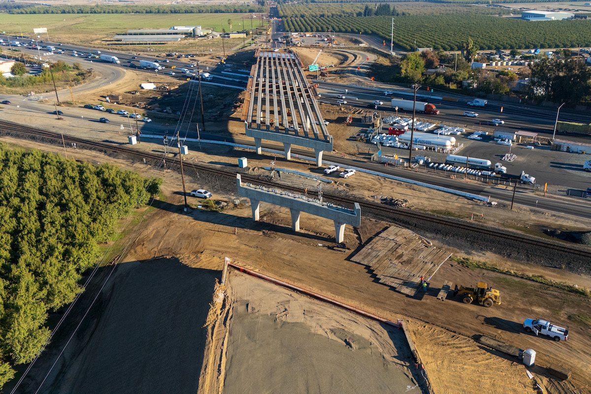
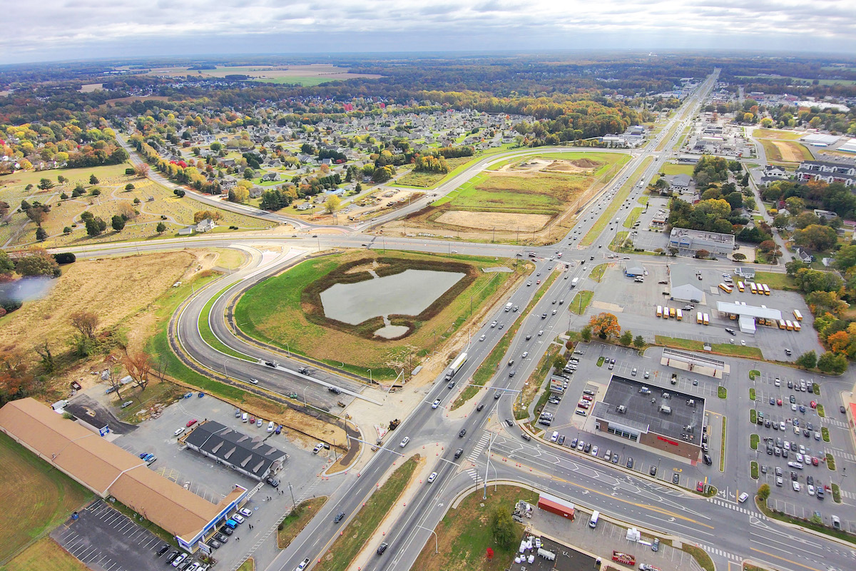
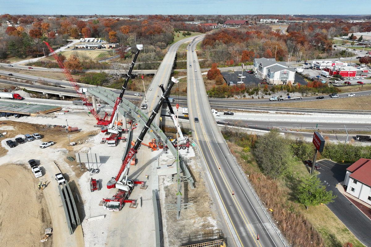
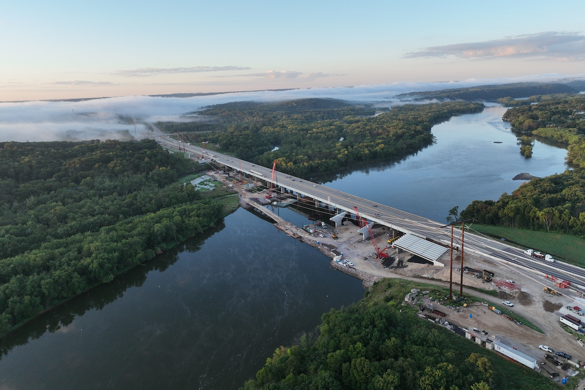
USACE has contracted with Industrial Builders of West Fargo, a highway contractor, to raise 4 miles of Interstate 29, which is located upstream of the dry dam. The highway serves as a primary egress route during flooding. Crews built a 4-mile-long bypass with borrow material from the Red River Structure to create two new temporary lanes in each direction. Traffic switched to the bypass, so work could begin on raising the interstate by 4 to 5 feet, out of any staged water elevations.
Then Industrial Builders began raising the existing interstate in place. It required hauling in hundreds of thousands of cubic yards of borrow material, mostly supplied by excavations for the three previously mentioned structures. The raised interstate was completed in spring 2024.
USACE had finished about 70 percent of the work on the Southern Embankment, at the time of writing this article.
The Metro Flood Diversion Authority (MFDA), a joint powers political subdivision of the state of North Dakota and a nonfederal sponsor of the project, has acquired upstream mitigation areas and has relocated farms and protected cemeteries. Formed in 2009, MFDA members consist of Clay County, Minnesota; Cass County, North Dakota; Fargo, North Dakota; Moorhead, Minnesota; and the Cass County Joint Water Resource District.
Several wetlands were impacted and nearly 2,000 acres mitigated. Additionally, the Lower Otter Tail River will be restored. About 30,000 trees will be planted, two for every single tree removed.
The entire project remains on track for an on-time and on-budget finish in spring 2027.
“It is important to the Corps of Engineers that this project is a success, as it will benefit nearly 260,000 North Dakota and Minnesota residents,” Williams said. “It’s one of our top priorities.”
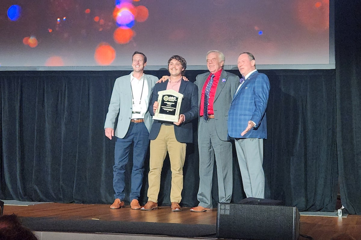
USACE has received numerous awards for innovation and partnerships on this project, including the 2023 National Academy of Construction Recognition of Special Achievement Award, the Corps of Engineers Project Delivery Team of the Year in 2022, and the Corps of Engineers Outstanding Planning Achievement Award in 2012, according to Shannon L. Armitage Bauer, Chief of Public Affairs for the USACE, St. Paul District. Additionally, the Metro Flood Diversion Authority has received multiple awards from the P3 community for its innovative delivery of the Diversion Channel.
“The one thing that stands out to me is the innovative nature of this project,” said Denn, citing the USACE’s first public-private partnership and the difference the project will make in residents’ lives. “They should, hopefully, be able to not worry about [flooding] anymore. That is going to be huge.”
Editor’s Note: This story is part two of our feature on the Fargo-Moorhead Area Diversion project. Part one appeared in the April issue of Western Builder.
Photos courtesy of U.S. Army Corps of Engineers


