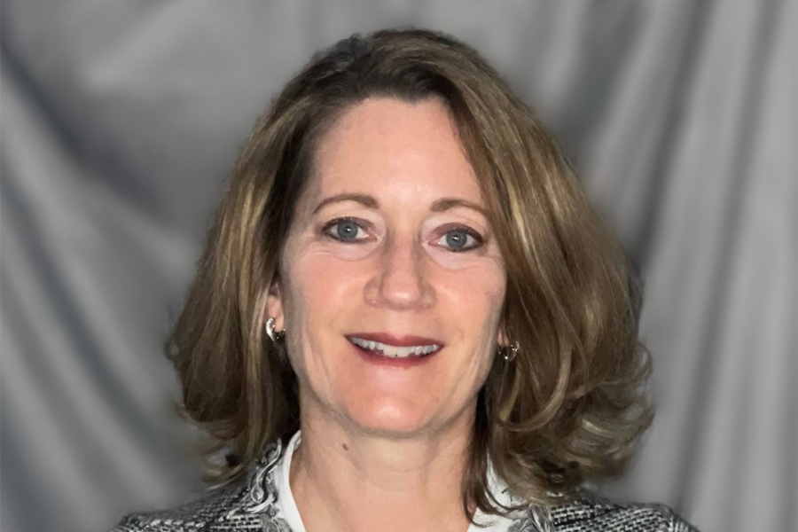
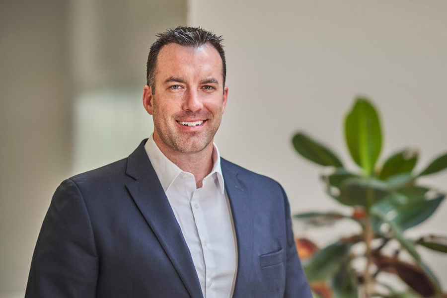
Steve McCaskey, PLS joins the firm’s Seattle office as a Surveying Supervisor, leading the Puget Sound survey group. He has 23 years of land surveying experience. McCaskey previously worked at Parametrix from 2009 to 2015, leading the Seattle survey practice. He returns to Parametrix from Encompass, where he oversaw the survey department, focused on private clients performing records of survey, platting, American Land Title Association surveys, boundary line adjustment surveys, and construction staking.
Chris Robinson, PS, CFedS joins the firm’s Portland office as Surveying Supervisor. He has 15 years of experience in land surveying, including boundary resolution, platting, and overall project management. He comes to Parametrix from Westlake Consultants, Inc. where he served as Development Survey Manager. He is a licensed Professional Land Surveyor in Oregon, Washington, Idaho, Colorado, Wyoming, North Dakota, South Dakota, and Arkansas. He is also a Certified Federal Surveyor.
Camden Beeghly joins the firm’s Portland office as a Surveyor with seven years of experience. Beeghly comes to Parametrix from Quantum Spatial, Inc. where he served as a Survey Analyst.
Dylan Tucker joins the firm’s Bremerton office as a Surveyor with five years of experience. Tucker comes to Parametrix from Abbie Jones Consulting in Lexington, Kentucky, where he served as a Field Surveyor.

| Your local Trimble Construction Division dealer |
|---|
| SITECH Northwest |
Jordon Ford joins the firm’s Puyallup office as a Surveyor I. Ford comes to Parametrix from Northwest WoodWorks Inc. where he served as a Project Engineer.
Kevin Clarke joins the firm’s Bend office as a Surveyor with one year of experience. Clarke comes to Parametrix from Larry Steele & Associates where he served as a Junior Party Chief.
Parametrix’s survey practice includes over 40 surveyors in Washington, Oregon, Idaho, and New Mexico, specializing in 3D scanning and modeling, alignment and right-of-way, asset management, bathymetric surveys, boundary and cadastral surveying, construction surveying, environmental mapping, property acquisition and segregation, topographic surveying for design, and unmanned aerial vehicles.


