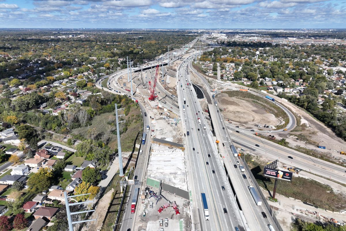
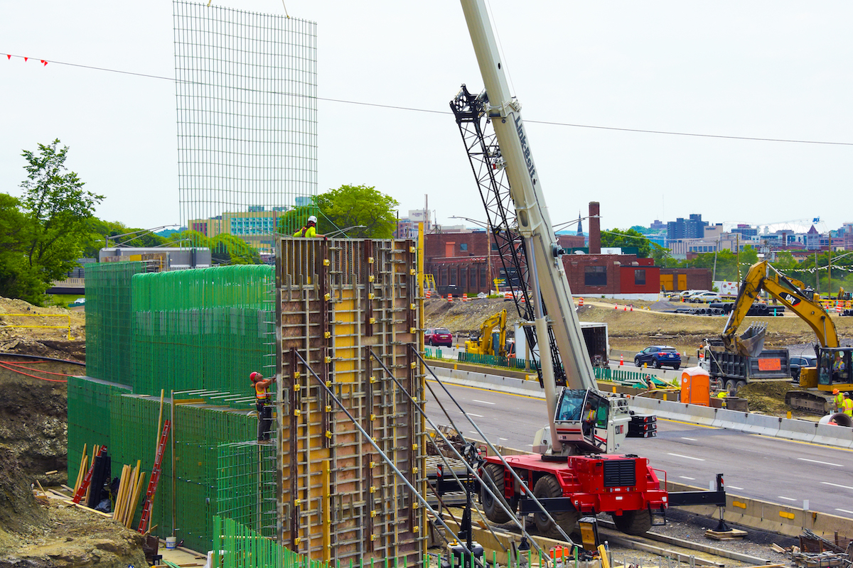
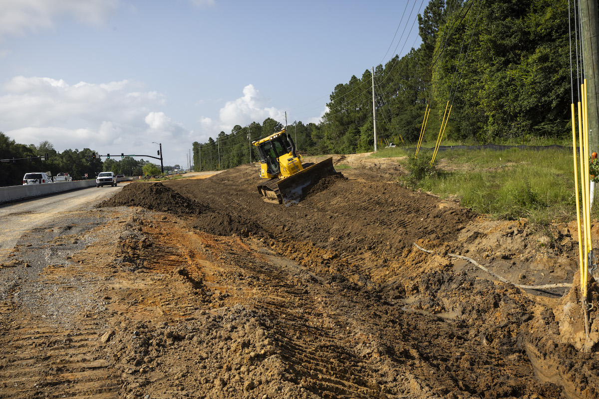
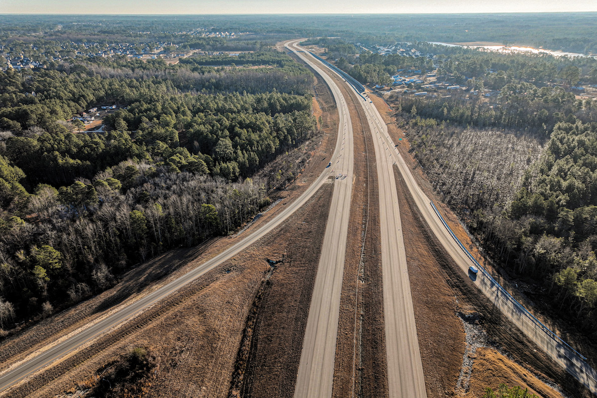
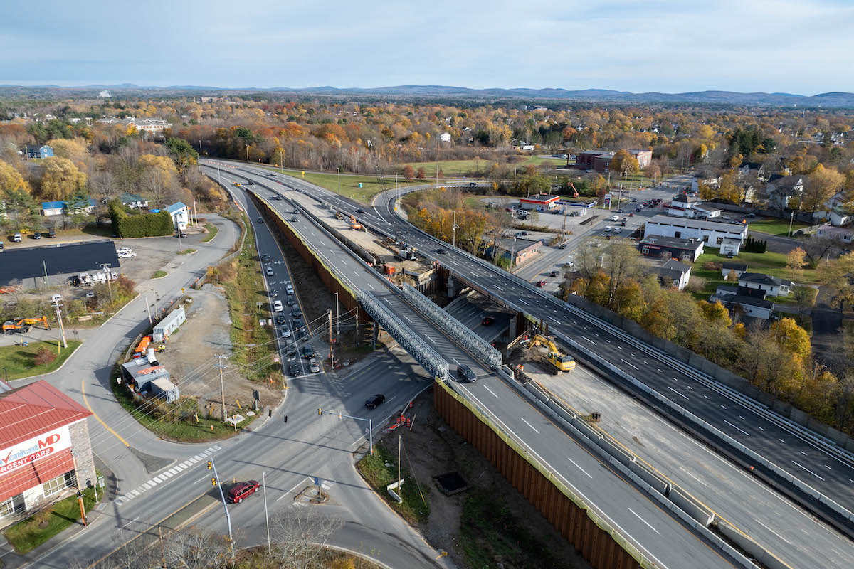
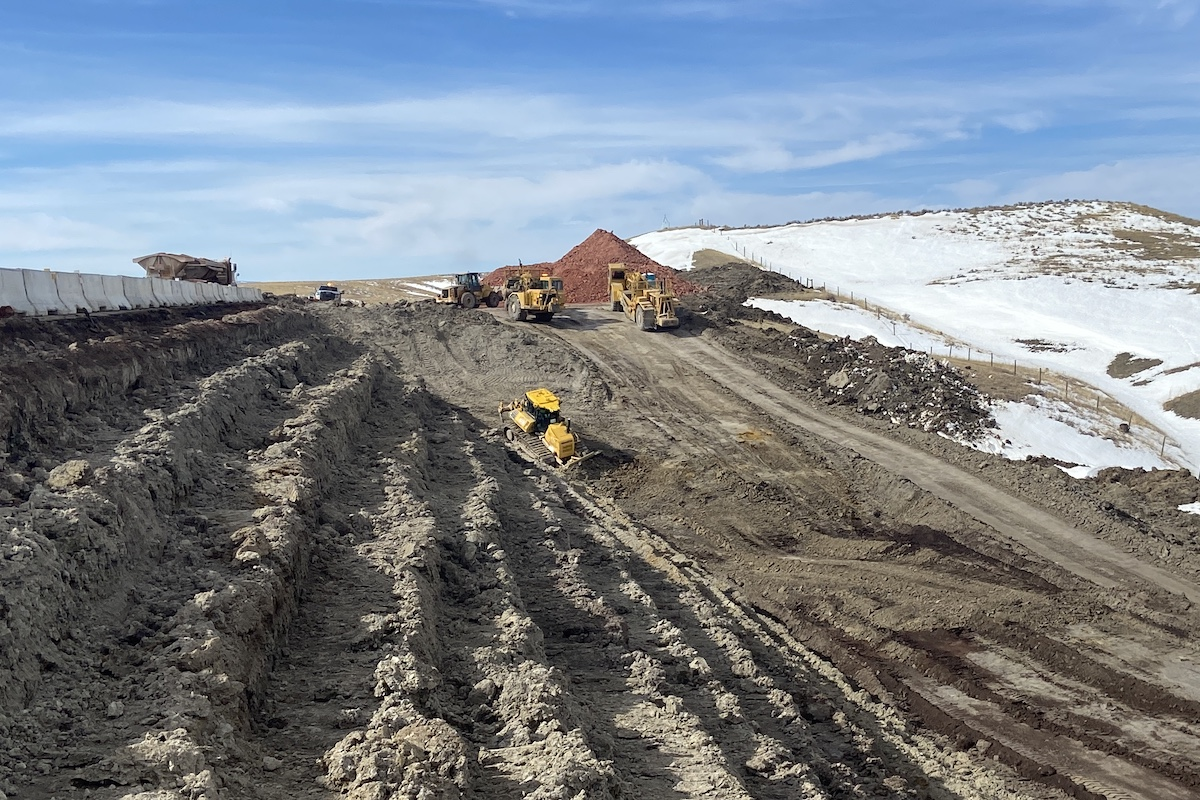
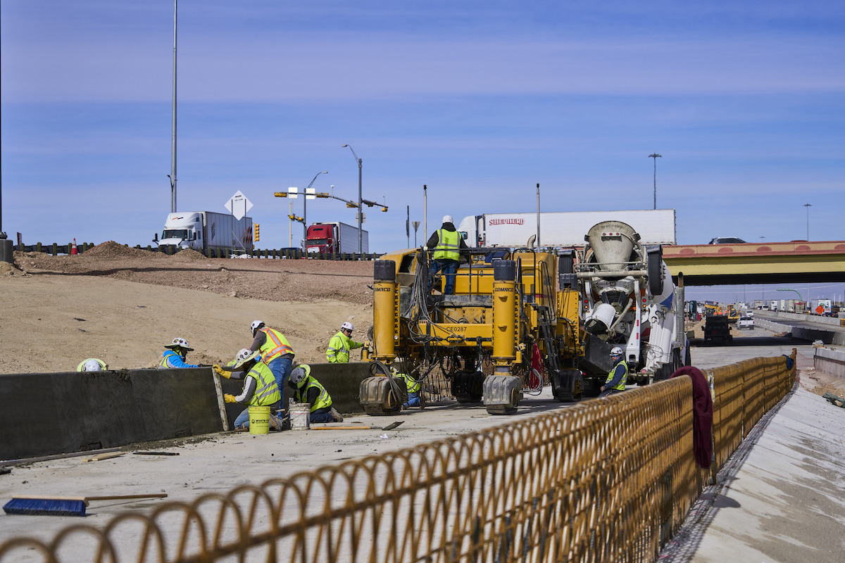
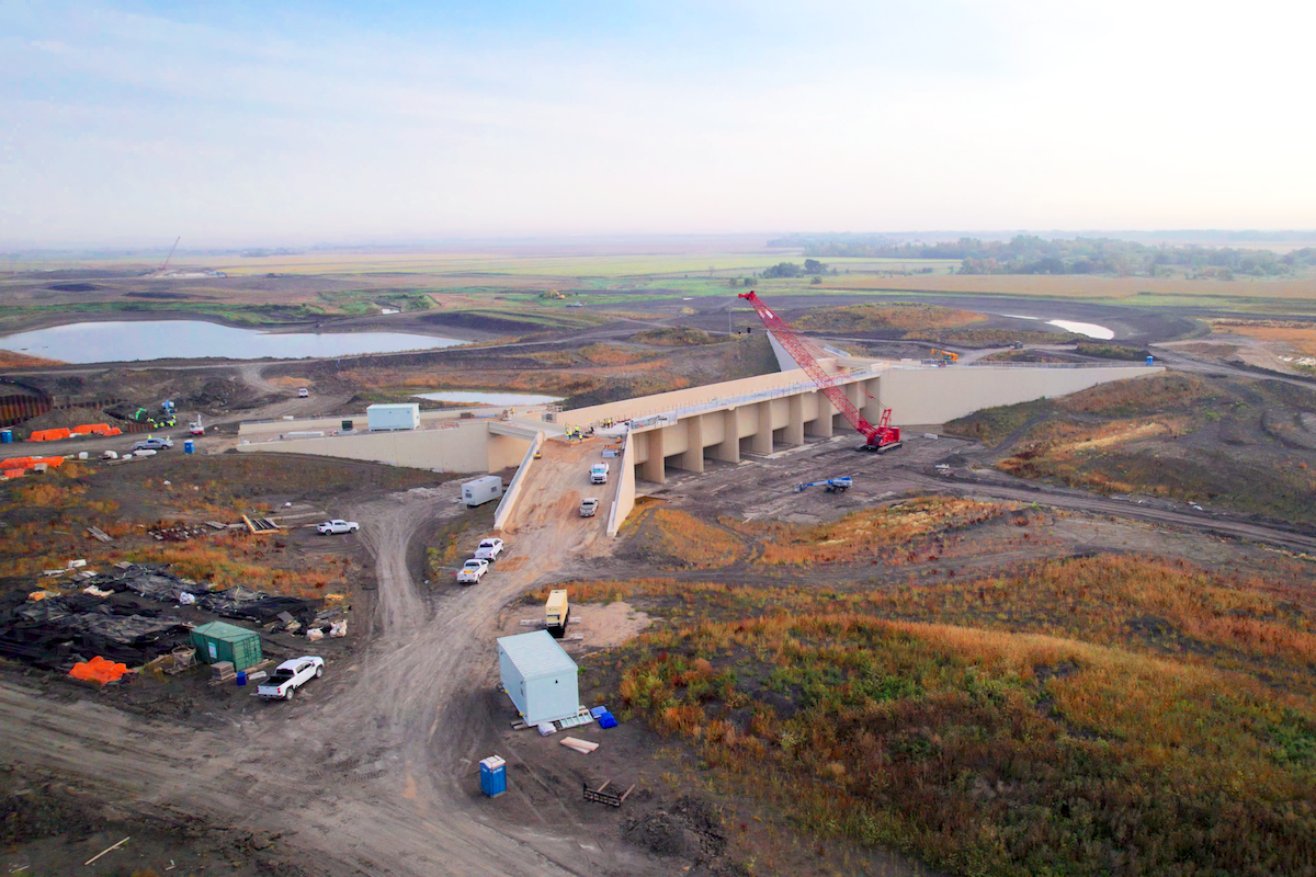
Now you see drones at weddings and sporting events. The cost of a drone with a camera and recording capabilities is light years ahead of where it was a few years ago — now the price is $1,000. You can go to Amazon, buy a drone, and have it delivered to your house with camera quality equal to or better than a professional drone of the past. Because of that, we’ve seen the market explode and the use of drones in all industries has grown exponentially.
Drones are also getting smaller and smaller. The drone I have now fits in the palm of my hand and takes better pictures and videos than my first drone, which took me an hour to assemble onsite. Now I just pull my drone out of a bag the size of a water bottle, flip out the props, and I’m up in the air taking better-quality pictures and videos than I ever have before.
Some companies have their own drone departments that do all the drone flyovers and analytics. They have certified drone pilots on staff. Others do it through a third-party service. There are a lot of providers that will fly a site for you and give you all the information. It depends on how often you want to fly, what you need to fly, and what you expect to get from the drone.
Companies that work in many different areas can save time and money with drones. When you’re working in Illinois one month and California the next month, you can fly a site before everyone gets there. You can figure out your game plan, where you’re going to stage equipment, etc. Instead of sending a guy out to California for a week to do all the prep work, you can do it in a 30-minute drone flight.

| Your local Bobcat dealer |
|---|
| Pape Material Handling |
For the fleet management department, it will help them have a better understanding of how much land they have to work with, how much area they need to clear, and what type of machines they need in there first. It can also help them plan the crews.
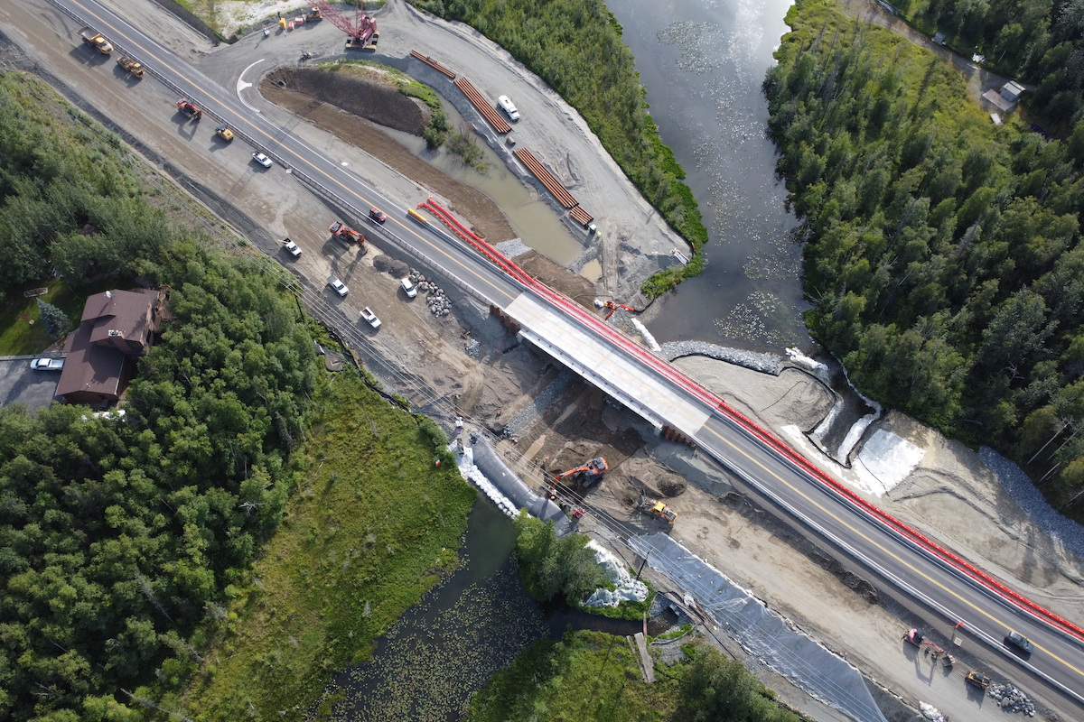
Surveying and drones are huge. Rather than sending a crew out, you can survey a site with a drone and get your pins and topographical survey right from a flight’s video. You don’t need a crew of 10 people to go out and survey land beforehand.
Whether it’s greenfield or an existing road, drones help all those departments be more efficient and smarter before they actually step on the job site.
You can also use it for mitigation. If four inches of rain fell last night, what does the site look like? What do you need for pumps and water removal before you can get back to work? The big benefit of getting all that information with a drone is safety. You don’t have to put people on a job site that isn’t ready for them; you can get all that information ahead of time.
At the end of a project, a lot of heavy contractors will fly again to have a video record or picture of exactly what the job site looked like when they turned it over to the owner or the next phase of construction.
Once you have ground control points that tie your video and photos to a known point on the ground, you can put the images into analytic software. The accuracy of the flights and the analytics get better all the time. On my first flights, if we were within 3 feet on elevation we were doing pretty good; now most analytics can determine within less than a foot.
You can fly a site and get volumetric data so you know exactly how much material was moved between 8 a.m. and 9 a.m. You can determine the topo of the entire site so you know where your cuts need to be. You can even figure out volumetrics of stockpiles from a flight.
The FAA also required everybody to be a pilot at first, then it progressed to a personal path and a commercial path. Now when a 12-year-old gets a drone for Christmas, he doesn’t have to get a pilot’s license to fly in his backyard.
However, for commercial use of drones, the FAA still requires a drone pilot’s license. You have to pass an online written test with some basic aeronautics, but it’s not as deep as a commercial pilot’s knowledge requirements. When you fly, you have to keep a line of sight to your drone.
In addition, drones for commercial use need to be registered with the FAA. You get a tail number to put on your device and if the drone crashes then is found, they can link it to you.
The FAA also requires drones to follow the same airspace rules as an aircraft. There are restricted airspaces such as military bases or anywhere in Washington, D.C. You can’t fly within a certain distance of an airport. However, I have one customer that’s very close to an airport. They filed flight records and flight exemptions so they can fly within a limited time frame.
The more drones there are in the market, the more the airspace will need to be defined as far as where and at what altitude flights are allowed or not allowed or what you need to do if you fly in a particular area. I would definitely keep an eye out for updated regulations in your area.


