“Not having any major issues in this area before, we were intrigued by his observations, went to the site and checked it out,” says Mike Lusk, Construction Engineer with MDOT. “What we found was a natural artesian spring that was slowly eroding away at the toe of the existing slope on U.S. 2.”
The department found some other geological features in the Upper Peninsula region, including an area of karst topography, which could affect the road. A karst is a limestone formation under the 100-foot-tall sandbanks. The water has eroded the sand banks. The area’s geography includes sinkholes, which had been noted as far back as the 1940s, according to old plan sheets. The road was built in 1948.
“The area we are talking about is interesting geologically speaking” Lusk says.
MDOT continued to monitor the area, using nondestructive testing.
“We were noticing the erosion on the slope, and it was starting to creep upslope and contribute to the sag in the pavement,” Lusk says.
The department used ground penetrating radar, falling weight deflectometer, aerial LIDAR, and conventional ground surveys – all nondisruptive.
“Every time we looked at it, things had changed,” Lusk recalls. “By 2016, it became apparent that this was not an issue that was going away by itself, so a project was put into our five-year program, and scheduled for 2021, next year.”
About the same time, 2016, to further promote safety and keep a remote eye on this critical area, the Lansing geotechnical unit installed a solar-powered slope inclinometer.
“They can get real-time data from that slope,” Lusk says. “If anything moves, they are sent an emergency message.”
Remote monitoring over the next few years showed that the slope was still unstable and very slowly moving. With time, the road started settling. In the interest of safety, MDOT moved the project up to 2020 when an analysis indicated accelerated movement of the existing slope and pavement.
The department is monitoring ground movement on the existing roadway to ensure it remains safe for traffic, while the new road is built. There are no nearby detour routes. About 10,000 vehicles travel on the road daily in the summer.
Most of the right-of-way for the new alignment was obtained through a partnership with the Michigan Department of Natural Resources (MDNR). MDNR owns the nearby Sault Ste. Marie State Forest Area. The two departments implemented a land swap.
“It was nice to partner with another state agency,” Lusk says. “This allowed MDOT to complete a land transfer without many obstacles to obtain the required right of way. Prior to the land swap, the MDNR was able to do a timber sale, and harvest all commercially marketable trees from this new 150-foot-wide right of way.”
MDOT designed the new road in house. Spicer Group of Saginaw, Michigan, conducted the initial design survey.
“The survey provided unique challenges of mapping through forested areas and steep terrain,” Lusk says. “We may elect to utilize a consultant, as needed, for aggregate or hot-mix asphalt inspection at a later date.”
The project is scheduled to open to traffic in October and then in spring 2021, the contractor will began removing the 1.3-mile old concrete topped with asphalt road and redirecting ditches to existing culverts. The project should be completed in August 2021. The property under the old road alignment will become owned by the MDNR.
“The contractor has aspirations of completing it this year,” Lusk says. “But we wanted to be flexible.”
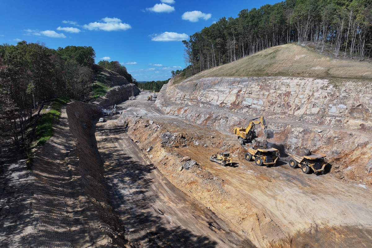
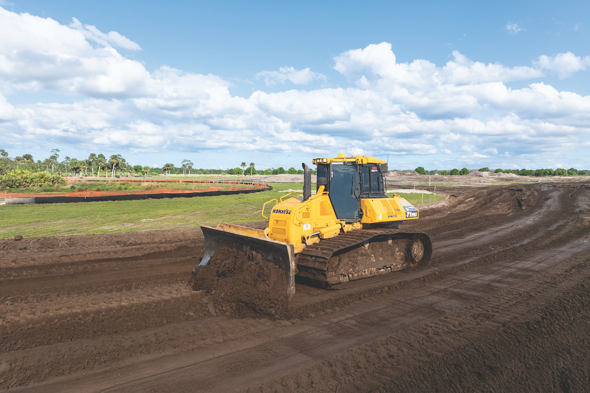
Initial construction began with earthwork, followed by a sand sub-base and then a gravel base. It will be paved with hot-mix asphalt, which the department determined would be most cost effective after a life-cycle cost analysis.
Much of the construction activity takes place away from traffic. Even so, the state has reduced the speed when workers are present. The two lanes of traffic on the existing alignment will remain open with intermittent single-lane closures with alternating lanes of traffic, when the new road ties in with the old road. Some of that staging, tying in the new alignment with the old, is scheduled for after Labor Day to minimize disrupting the motoring public, Lusk says.
MDOT is using GPS survey equipment to manage and track the alignment, profile and earthwork, Lusk says.
“Having a roadway realignment, a new road, is not something we often see, especially in our area,” Lusk concludes. “Most of our work falls into preventive maintenance or rehab. To see this being built is a treat. I probably won’t get to do another one in my career.”


