The federally designated Corridor Q runs through the multi-state Appalachian region of Kentucky, West Virginia, and Virginia. The section of Corridor Q in Virginia – located in the southwestern part of the state – shares a portion of its alignment with Route 121. The Virginia Department of Transportation (VDOT) is engaged in completing Corridor Q in the hopes of obtaining long term benefits.
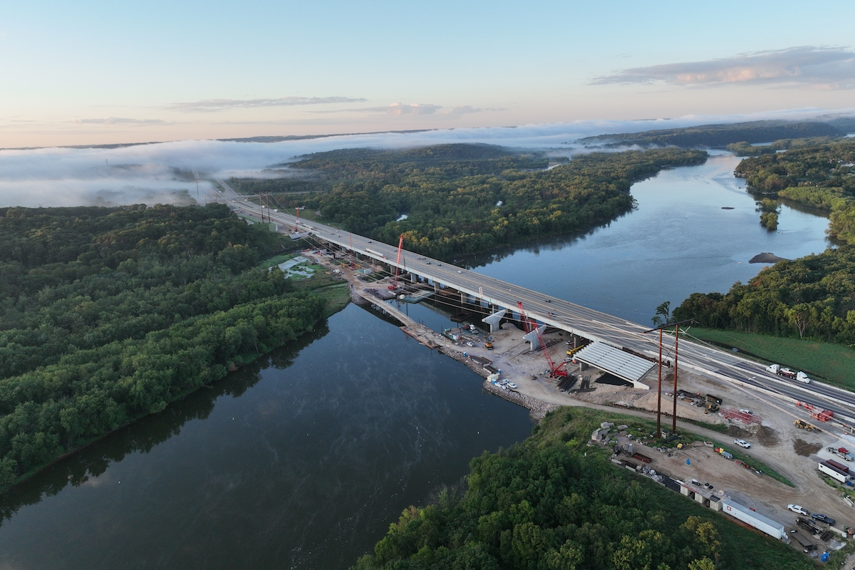
The most recently completed phase of the project is known as Route 460 Connector Phase I. This phase included twin bridges, which are the tallest in the state at 265 feet high and 1,733 feet long. The bridges span Grassy Creek and are cast-in-place segmental bridges, each with a deck width of 43 feet. The bridge has a vertical clearance of 250 feet.
This phase of the project, which extended just over a mile, also included an access ramp and another bridge.
It was completed via design-build and the prime contractor for the project was Bizzack Construction. They are serving as the contractor throughout the entire Corridor Q project.
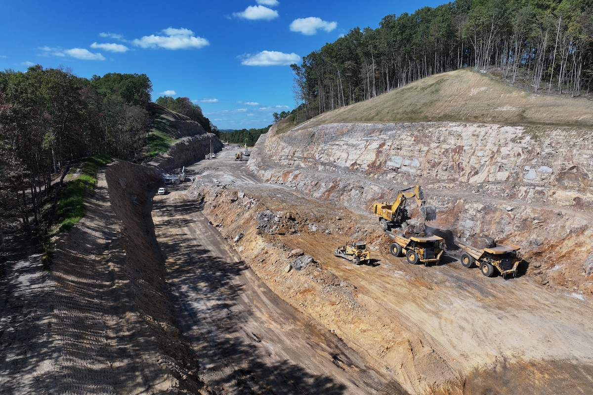
The geographical area in which the project is taking place includes extreme terrain, with a large differential from the tops of ridges to the bottom of the valleys. This requires the team to construct extremely high bridges, make large cuts and fills, and install special culverts.
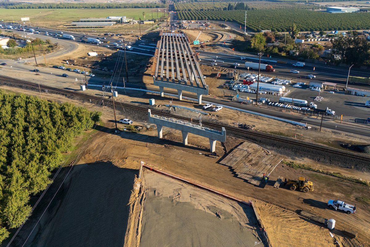
One of those high bridges will be the second tallest bridge in Virginia. The bridge will be 900 feet in length, 220 feet tall, and will cross a railroad.
Those large cuts led to the team moving over 16 million cubic yards of dirt. For other phases, they will need to move 13 million cubic yards and 21 million cubic yards. In order to construct the road, various sections of the road have large box cuts approximately 300 feet high and hollow fills of 350 feet deep.
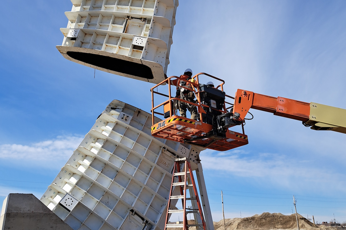
A box culvert is being constructed beneath the route that may be, according to Marty Halloway a Mega Projects Program Engineer with VDOT, the deepest fill for a precast box culvert in the nation at 310 feet of maximum cover at its midsection. While there is a deeper culvert in West Virginia, it’s a cast-in-place design while Virginia’s is a precast box system.
“The box culvert sub-base had to be constructed to maintain the stream without loss,” said Halloway. “The sub-base was an engineered fill that was 20 feet deep. Crews placed 300 feet of box within eight days. There was no stream loss once the first stream diversion was complete.”
When making the large cuts, the team may encounter a deep mine that’s been flooded as water seeps into the mine. “It’s a challenge to dewater a mine and close it off so water will not get trapped in the future,” said Halloway.
Although right of way is common expense on infrastructure projects, it’s not as simple on this project because portions of the route include active and former mine sites.
“Because not many design-build teams encounter mineral or mineral owners during project development and construction, the right of way process for Corridor Q was very different from VDOT’s typical right of way process,” said Halloway. “Determining the value of the mineral property was the most difficult part of the acquisition process.”
Bizzack Construction has years of experience in this type of work. Gary Taylor, President of the company, explained, “Constructing the projects where previous mine sites are located involves lots of mitigation and coordination with our design team. If you intersect the waste areas the coal companies used, the embankment isn’t constructed to roadway specs, so we have to mitigate by undercutting, refilling, dynamic compaction, etc., to bring it up to roadway specifications.”
Once the coal is located, it’s either excavated when encountered in the cut sections and marketed through a Virginia Department of Energy government-funded exemption (GFE) or sterilized 100 feet below the roadbed.
VDOT and Bizzack are using coal synergy methods as part of these projects. “Coal synergy is the use of the coal companies’ large-scale, earth-moving equipment to prepare the roadbed to rough grade while the companies recover coal reserves,” said Halloway. “The large-scale, earth-moving equipment creates efficiencies unique to traditional road building, saving excavation time and money.”
By selling the minerals, the cost of the project to the taxpayer is reduced. Bizzack recovers marketable coal reserves during roadbed preparation. “When coal is found, it’s removed, cleaned, and sold and the revenue is part of the payment from the state,” said Taylor.
Before bidding on the project, firms like Bizzack need to estimate how much coal will be found and what it will bring into the open market. Taylor estimates that approximately 10 percent of the project costs will come from the sale of the minerals.
Corridor Q, which is part of the National Highway System and the Appalachian Development Highway System, is the centerpiece of the Appalachian Regional Commission’s effort to foster economic and social development in the multi-state Appalachian region.
The corridor will provide a modern and safe transportation system for the area to access better health care, open the region for economic development, and improve interstate commerce. “It will also greatly improve access for local motorists as it will significantly reduce travel times,” said Halloway.
When the Virginia section of Corridor Q is complete in 2025, it will be a testament to those involved in the construction of the challenging project. It will also be a highway to economic opportunity in the coal regions of Virginia.


