At Goodfellow Bros., the company-wide deployment of drones for project progress tracking is a prime example. But it’s the organization’s latest investment in a scanning total station for civil construction that visionaries in the firm believe will have a similar, if not greater, impact on productivity and efficiency going forward.
Goodfellow Bros. is a fourth generation family-owned heavy civil construction company that was founded in 1921. The company specializes in earthwork, excavation, concrete, and utilities across multiple market sectors including commercial, industrial, institutional, government, transportation, energy, and water. With headquarters in Wenatchee, Washington, and Kihei, Hawaii, Goodfellow Bros. serves Hawaii and the West Coast.
Over the last 18 months, with support from Casey Walton at SITECH Hawaii, the company has been putting the Trimble SX12 Scanning Total Station – a solution that integrates surveying, imaging and 3D scanning capabilities – to work across a variety of civil construction scenarios. The SX12 joins a high accuracy robotic total station and 3D laser scanner in one instrument. It’s a combination that surveyors and contractors have appreciated over the last few years for its ability to gather high accuracy point clouds and images very quickly.
For Goodfellow Bros. Construction Technology Program Manager James Arnold, the scanning total station is a tech disruptor like no other. Arnold noted, “For a contractor to be able to set up on a control point, scan an area and take photos all in a matter of minutes, with high accuracy positioning including elevation, is amazing, and sets the stage for simplified and more connected workflows, and just as importantly, a better use of data.”

| Your local Trimble Construction Division dealer |
|---|
| SITECH Michigan |
For Arnold and the Goodfellow Bros. civil crews across the company’s service area, the last year has been one of discovery, deploying the SX12 in various scenarios to evaluate capabilities and assess the future potential in the Goodfellow Bros. toolbox.
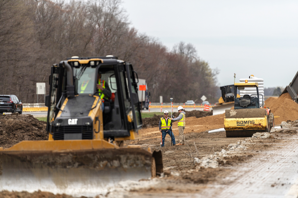
In this case, Goodfellow Bros. was contracted to develop a topographical map of a deep reservoir with a very steep grade. The client needed to know the makeup of the material and accurate elevations across the surface and the slopes. The more conventional way would have been to have a survey team carry a rover GPS unit around the site and down into the reservoir – a more time consuming and hazardous effort for the survey team that would have resulted in considerably less data to perform the necessary analysis.
Instead, Arnold set up the scanning total station, connected to the existing control network, and began the scan of the entire reservoir. The entire scan of the project took less than 45 minutes. The scan was immediately available as a LAS point cloud that is easily imported into Trimble Business Center. Not having to post process data and having data available instantly is one of the key benefits in using the SX12.
He confirmed, “By the next morning, I was able to provide a comprehensive summary of material type and quantities. And, since the SX12 includes photos, we have a mosaic of every aspect of the site. From an efficiency and safety perspective, the instrument is unbeatable. Nobody had to climb down into the reservoir.”
The greatest long-term advantage of the system is in the detail. “You think about how many times surveyors are asked to return to a site to collect data that wasn’t gathered the first time,” Arnold explained. “With the point cloud and the photos, I know exactly what this site looked like in detail and to a high accuracy prior to construction. If I am missing, for instance, the location of a water valve, I can go through the photos and pinpoint the exact coordinates, including elevation.”
Some might ask, couldn’t you get the same information, and perhaps even more data, from a drone? In this particular area, drones are not a viable source of reliable, accurate information because of the strong trade winds that blow upwards of 60 miles per hour.
Arnold confirmed, “There was a time when managing point cloud data required a specialist to both process and manage the data in order to get it into a usable format, which would require considerable time and effort. But this scanner stands out because of the total station component.”
It enables construction surveyors to work with complex 3D models, collect large data sets faster, visualize complex 3D models more easily and work day or night efficiently.
The instrument is easy for the team in the field to use, according to Arnold, and the resulting file is readily usable by the engineer in the office as well. In fact, the engineer doesn't have to learn anything new.
He continued, “Siteworks is like a digital filing cabinet. We just grab what we need and get to work. It’s a critical part of our connected workflow that brings the field and office together in so many ways. The office can send new models to the field just as easily as the field sends to the office.”
The other element that he appreciates about the scanning total station is that it’s built on familiar technology. “I can hand this to any field superintendent, surveyor or other member of the crew that’s used a total station before, and they can set it up,” said Arnold.
Which is exactly what he did for the next deployment of the instrument.
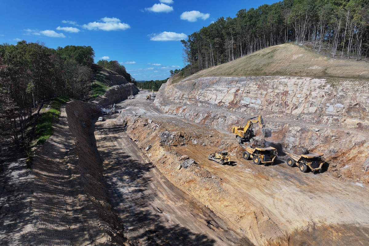
Arnold explained, “You couldn't walk along the edge of the wall face. We used a GPS rover to set control points beforehand and then positioned the scanning total station to shoot down the wall and along the length. That way, we could see both ways up and down the wall. Using four setups with the scanning total station, we were able to capture the entirety of the wall, including indentations.”
He also noted that, much like the reservoir scenario, a drone would not have worked for this survey either, because the sensor would not have been able to see through the heavy forest. Also, there was no way to physically survey the wall because of the dense forest.
With the subsequent model, Arnold and the team were able to cut cross sections for the engineers to examine – and the gathering and processing of the data took just a couple of hours.
Postprocessing software is especially critical when dealing with point clouds. Arnold said, “If we tried to use a more conventional scanner (without the total station), we just don’t have the tools to manage that much data. With this system, we have that same amount of data, but it’s in a file structure that is easy for the operator in the field to use. They don't even have to worry about attaching all photos. That’s done automatically within Trimble Business Center. And the same is true for the office staff in terms of ease of use. It’s just flawless for both sides.”
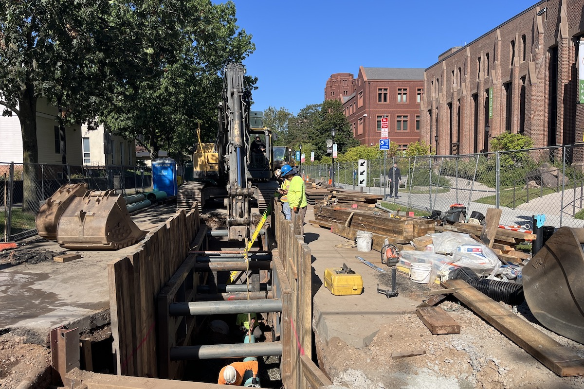
Looking forward, Arnold is particularly excited about putting the scanning total station to work on trenching projects. “Right now, pipe locations are largely documented by a surveyor providing general information. Trying to figure out how to document and draw the as-built conditions is tedious. If we can get the point cloud with the photos, we have all the information to move forward. That additional detail benefits us, in the way of safety and efficiency, and our customers in the way of more detail for maintenance.”
The biggest reason for continued investment in the scanning total station, he noted, is safety. “The ability to keep our people in a safe location on a site and still gather so much highly accurate detail is a win-win for any civil contractor,” he said.


