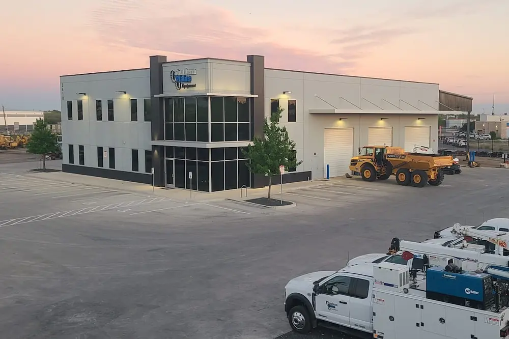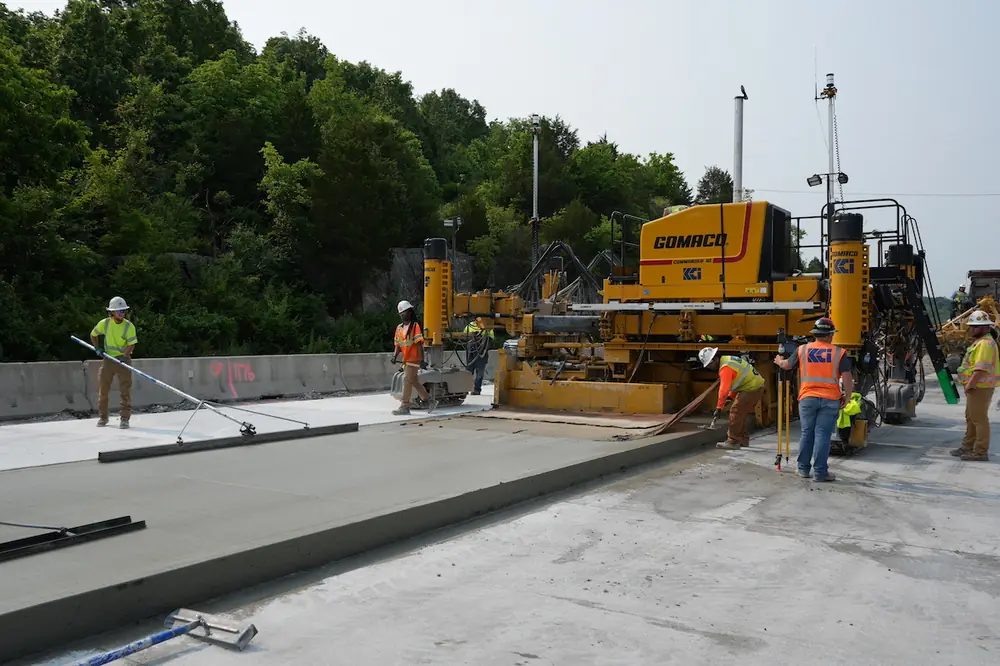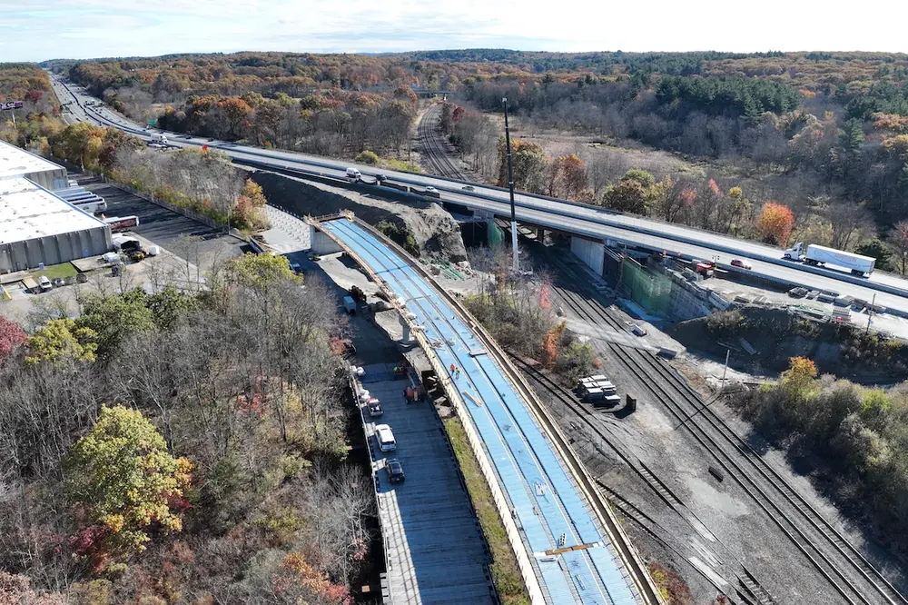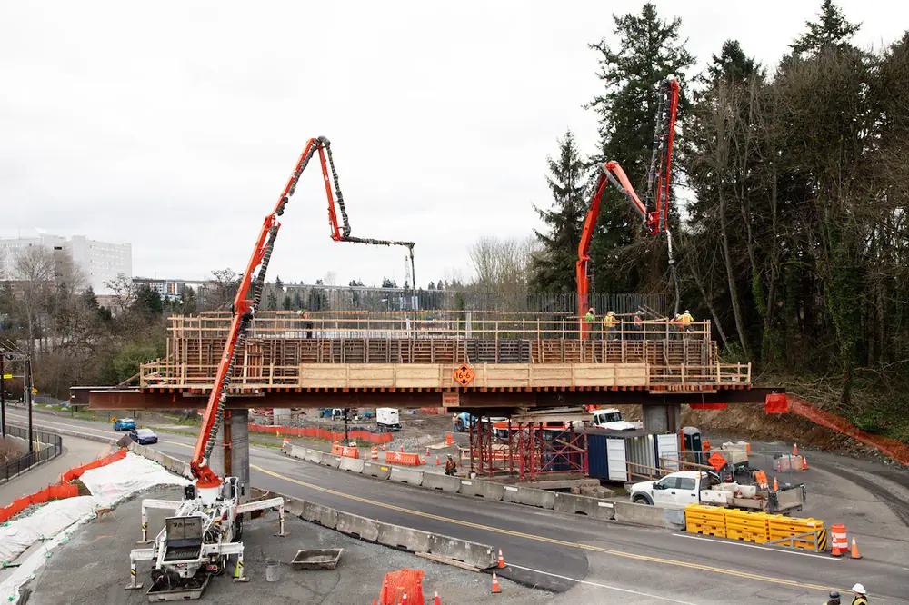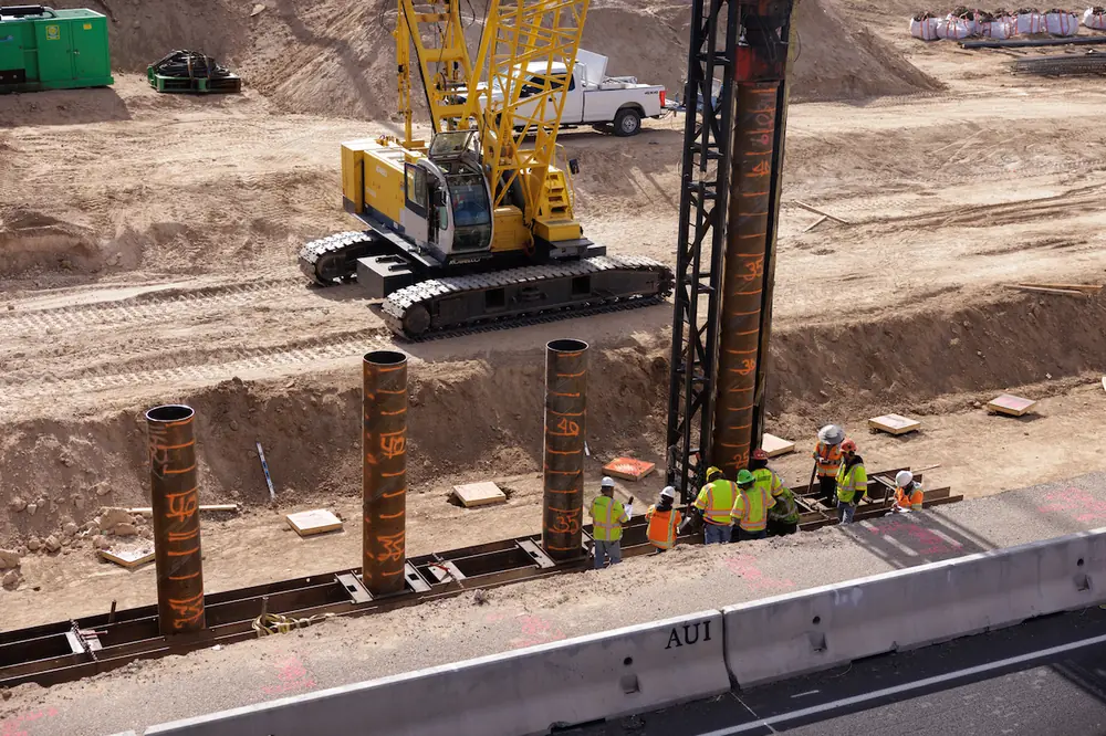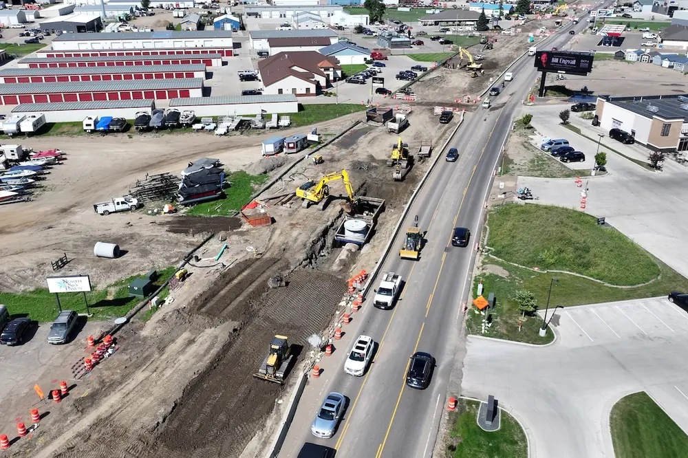
HOUSTON, TX — A new version of HCSS Aerial, a cloud-based solution for continuous monitoring of infrastructure construction projects, has launched. This version adds additional features to make job site mapping and data visualization easier and more effective.
HCSS Aerial users in the heavy civil industry already benefit from the ease of use and survey-grade accuracy levels of drone-based surveys. HCSS Aerial provides accuracy of 1/10 ft. (3 cm.) from independent checkpoints across small and large survey areas.
The software works with the latest generation of drones for professional applications and transforms large numbers of images into accurate point clouds, DSMs, and orthomosaics.
HCSS Aerial customers use the platform to track execution progress with the ability to compare "digital twin" models of the job site from different dates and against the design. Site documentation and reports are generated in 24 hours, not weeks.
Customers use volumetric calculations and analysis as progress indicators of projects and track earthwork quantities more accurately to avoid mistakes like underestimating or overestimating material and cut vs. fill.
"I've had the opportunity to work with a couple of different drone programs. While these drone processing programs are very high quality and have had years to be perfected, I do not feel they are as focused on the civil construction field as HCSS Aerial. I am very impressed with the way HCSS Aerial is heading," said Kyson Spendlove, UAV Pilot at Interstate Rock Products.
One new feature is Enhanced Accuracy Report and Checkpoints Support, which validates model accuracy without the need for expensive hardware, providing detailed information listing checkpoints' and GCPs' information, residuals, and errors.
This version also offers Local Coordinate System Support for geo-referencing and workflow integration, and Terrain Filtering capabilities for more accurate volumetric measurements. Also added was Image Validation to check integrity of images selected for uploading and look for gaps. Issues are shown as warnings with the option to ignore or fix as needed.
"It's very exciting to add HCSS Aerial to our portfolio and offer 3D mapping and analytics capabilities tailored to our heavy-civil customers," said JP Giometti, HCSS Executive Director, Global Strategy and Corporate Development. "With HCSS Aerial, surveyors and contractors can quickly collect aerial survey data, create high-quality 3D models, and access data visualization and measurement tools across the project lifecycle, helping them make better decisions."
HCSS has announced plans for more features in 2020, including integration among HCSS products; a flight planning drone app enabling automated data capture from the construction site; and automatic Identification of Elements & Objects using AI and machine learning to identify manholes, utility poles, railways, etc., and quantify them for tracking, analysis, and design comparison.
HCSS Launches a New Version of HCSS Aerial