SNC-Lavalin to Provide Flood Modeling and Mapping Services for Texas' First State Flood Plan

"Flooding is one of the most common and costly disasters communities face today, threatening life and property," said Ian L. Edwards, President and CEO of SNC-Lavalin. "Our priority is to help reduce communities' vulnerabilities to such natural disasters by providing climate adaptation tools, innovative solutions, and guidance through flood resiliency expertise.
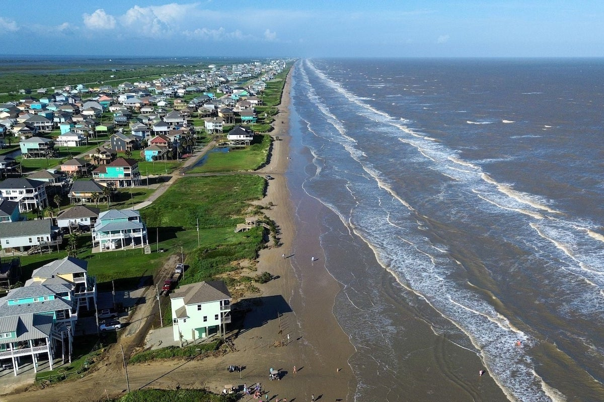
Contractual services include flood risk modeling and mapping, support for TWDB's state and federal grant programs, flood planning support, and related activities. A significant portion of the work will focus on completing statewide coverage for BLE modeling and mapping, an approach that combines high-resolution ground elevation data and modeling technology to create engineering models that can identify areas prone to flooding. SNC-Lavalin will provide the TWDB flood science and planning data to prepare and protect residents of Texas from flood-related hazards.
"We have served clients in Texas with floodplain mapping support for almost 50 years and have seen hazards change due to new building development, weather patterns, floodplain boundaries, and other factors," said George Nash, CEO of Atkins North America, a member of the SNC-Lavalin Group. "We will continue leveraging large-scale flood resilience experience gained from executing similar projects across the country to help the state's communities prepare for and respond to flood hazards."
SNC-Lavalin provides similar services to federal, state, and local agencies as well as municipalities across the United States and around the globe.


