Regional Planning Study Earns Industry Recognition

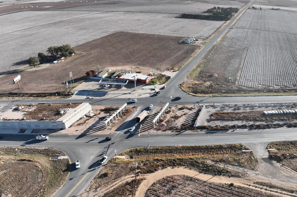
The US 67 Corridor Master Plan encompassed 142 miles of the corridor from I-10 west of Fort Stockton to the Presidio/Ojinaga Port of Entry on the U.S./Mexico border. The roadway provides access to the towns of Marfa, Alpine, Presidio, and surrounding communities, as well as Big Bend National Park, Sul Ross State University, the Marfa Lights, Big Bend Ranch State Park, Fort Leaton State Park, and Fort Davis attractions.
“Developing a diverse, comprehensive guide for the future of US 67 was vital as it serves multiple communities with diverse needs and priorities,” said TxDOT El Paso District Engineer Tomas Treviño. "The area has experienced significant growth in recent years due to factors such as population growth, additional tourism, international commerce, and Permian Basin oilfield development. That led to several safety and transportation issues including higher than average crash rates. Considering the length of the corridor, distance between communities, and number of residents who primarily speak Spanish, the use of innovative public outreach techniques was critical to executing a successful public engagement effort.”
Over the course of two years (2017-2019), the planning team conducted extensive bilingual public outreach including focus groups; corridor working groups; steering committee meetings; bus tours; mixed reality activities; online maps and tools; and three rounds of public meetings. More than 1,200 participants provided more than 900 comments for planners to consider.
A key aspect of the plan that stood out was development of a Health Impact Assessment (HIA) to estimate the likely health impacts of recommended improvements and suggest ways to mitigate any potential negative health outcomes. The HIA identified health indicators based on community and corridor profiles and provided recommendations to maximize positive health impacts and minimize negative ones.
The final plan identified current and future needs along US 67 and provided a set of recommended projects for short-, medium-, and long-term implementation. Some of the suggestions have already been implemented such as signage and striping. Once conceptual improvements are chosen for implementation, they will move through the rest of the project development process, including environmental permitting, design, right-of-way appraisal and acquisition, utility realignment, letting, and construction.
TxDOT completed the corridor study with the assistance of CDM Smith.


